大月山展望台と大月山山頂 石ヶ峠コース(愛媛県松山市)標高953.1m
ふと午後から時間ができたので、大月山へ行ってきました。
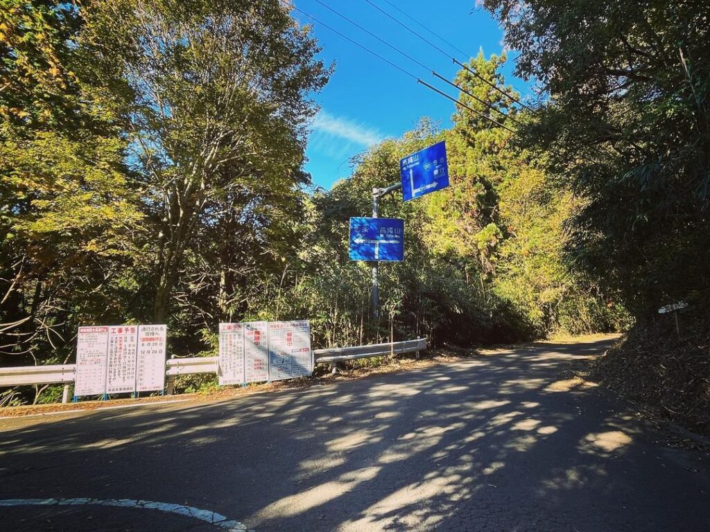
本当は五明の登山口から登りたいところですが、時間の関係で石ヶ峠スタートで。
石ヶ峠には駐車場はありませんが、2ヵ所ほど車を停めても大丈夫なスペースがあり、そこに車を停めさせていただきました。
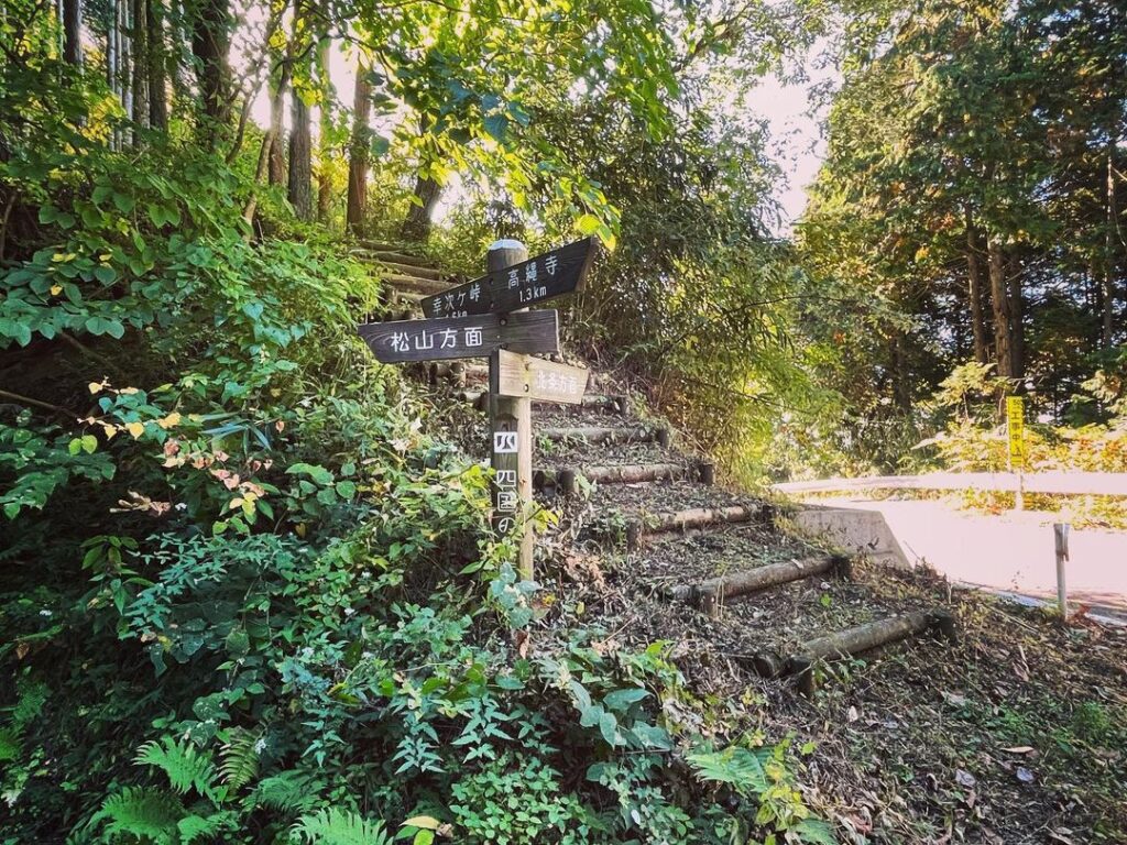
まずは、石ヶ峠にある階段からスタート。
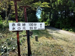
幸次ヶ峠方面に向かって登っていきます。
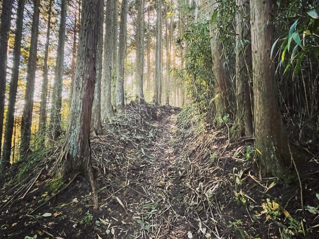
林道であろう登山道はしっかりと整備されており、杉木の中を気持ちよく歩いていけます。
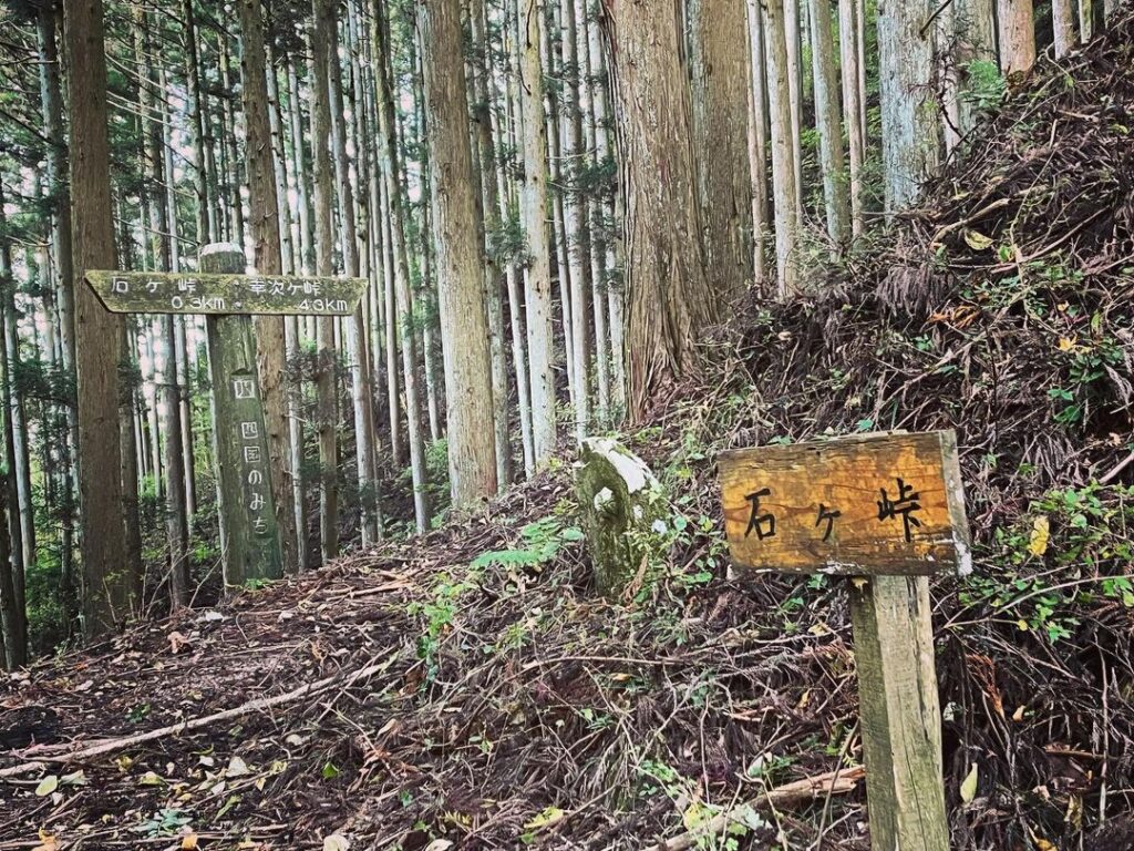
10分程で、旧石ヶ峠に到着。
ここから登りに入ります。
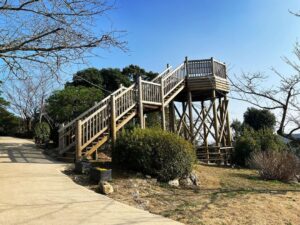
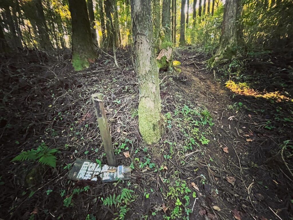
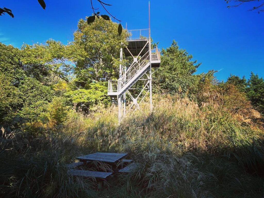
さらに15分程歩くと、落ちてしまっているのですが「展望台登り口」の看板が。
山頂への道からは外れますが、展望台に向かいます。
この季節は展望台まわりは草藪ですが、踏み跡があるため、すぐに展望台に辿り着きます。
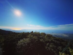
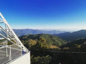
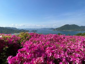
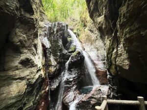
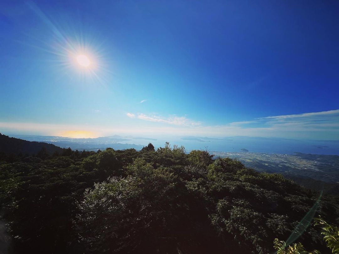
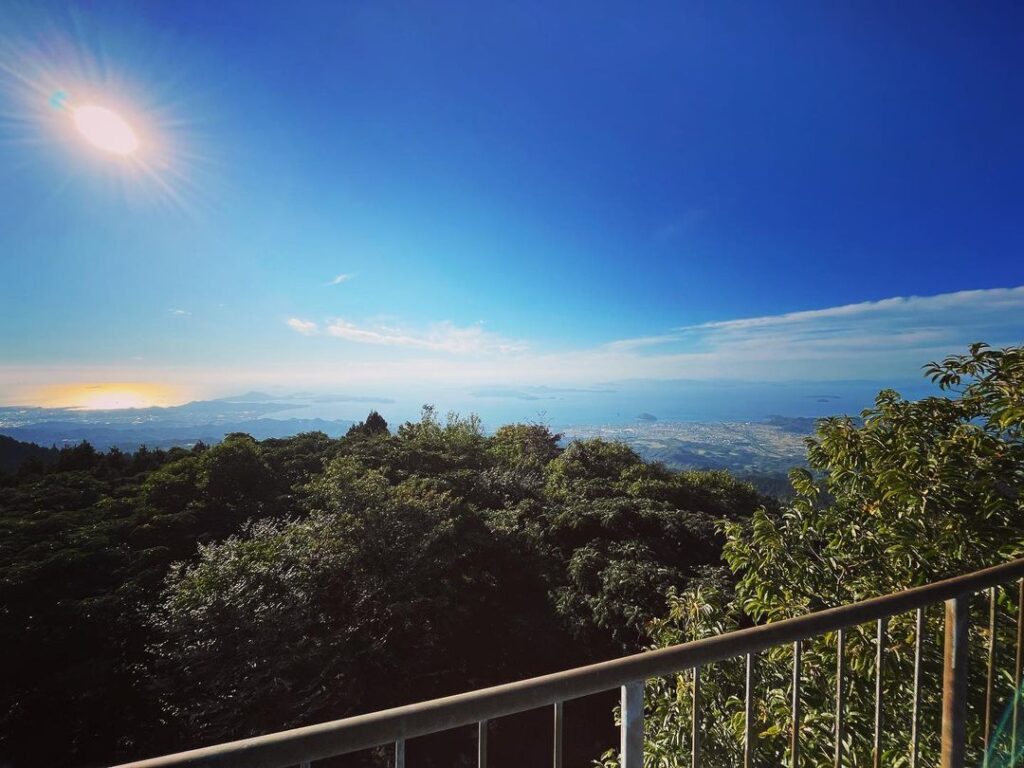
展望台からの景色はお見事!
北条から興居島へと瀬戸内の景色が一望できます。
眺望を楽しんだら、戻って山頂を目指します。
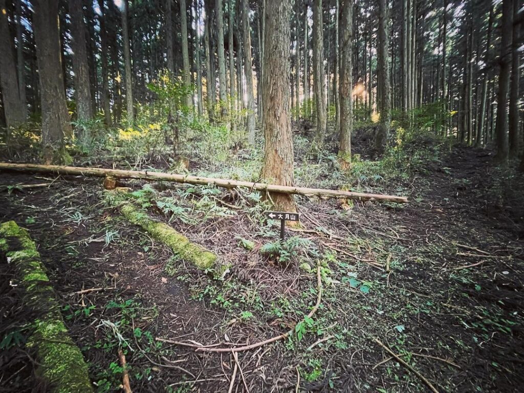
「大月山」の矢印標識がある場所が、五明の登山口から合流する場所です。
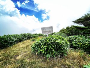
いくつかの小ピークを越えると、山頂の丘が見えてきます。
木々に囲まれ、眺望こそありませんが、しっかり管理された丘です。
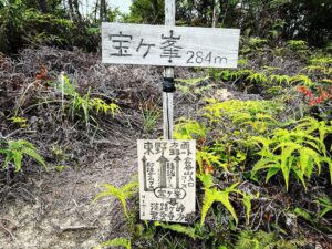
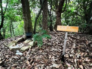
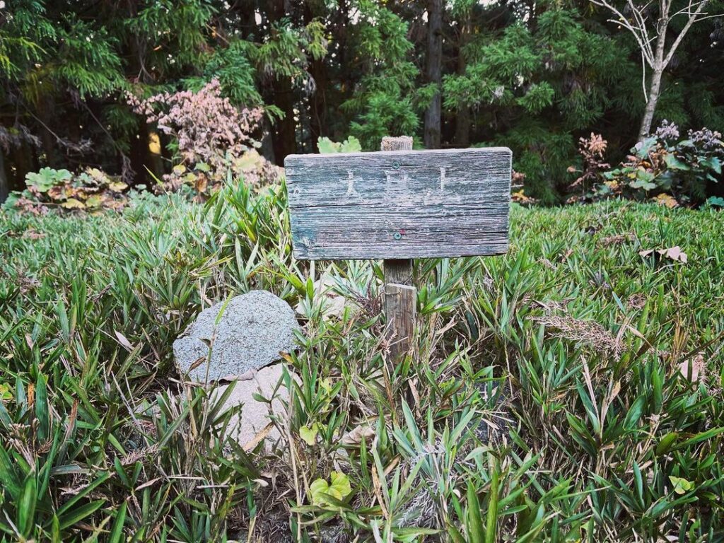
大月山の標識と、標識下に三角点がありました。
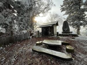
ここから傾斜が上がります、お地蔵様にご挨拶をして登っていきます
落ちてしまっていますが、看板が目印です
#大月山
#おおつきやま
#標高953m
#大月山展望台
#展望台
#石ヶ峠
#いしがとうげ
#高縄山
#愛媛の小山登り
#小山登り
#愛媛県
#松山市
I suddenly had some time in the afternoon, so I went to Mt. Ootsuki.
I really wanted to go up from the Gomyo trailhead, but due to time constraints, I decided to start from Ishigatoge.
There is no parking at Ishigatoge, but there are two spaces where you can park your car.
We started from the stairs at Ishigatoge.
We climbed up toward Kojiga Pass.
The trail, which was probably a forest road, was well maintained and a pleasant walk through the cedar trees.
After about 10 minutes, you will arrive at the old Ishigatoge Pass.
From here, the trail begins to climb.
After another 15 minutes’ walk, you will see a sign that reads “Observatory Climbing Entrance,” although it has fallen off.
Although off the path to the summit, we will head for the observatory.
During this season, the area around the observatory is thickly covered with grass, but you will soon reach the observatory because of the footprints.
The view from the observatory is magnificent!
You can see the whole Seto Inland Sea from Hojo to Gogoshima Island.
After enjoying the view, return to the top of the mountain.
The arrowed sign for “Mt. Otsuki” marks the spot where the trail joins the Gomy trailhead.
After crossing several small peaks, the summit hill comes into view.
Surrounded by trees, there is no view, but the hill is well maintained.
There is a sign for Mt. Otsuki and a triangular point below the sign.
大月山展望台からの眺望(動画)
大月山の登山口(石ヶ峠)
大月山展望台のMAP
大月山のMAP