笹ヶ峰 寒風山からの縦走(愛媛県西条市・高知県いの町)標高1859.7m
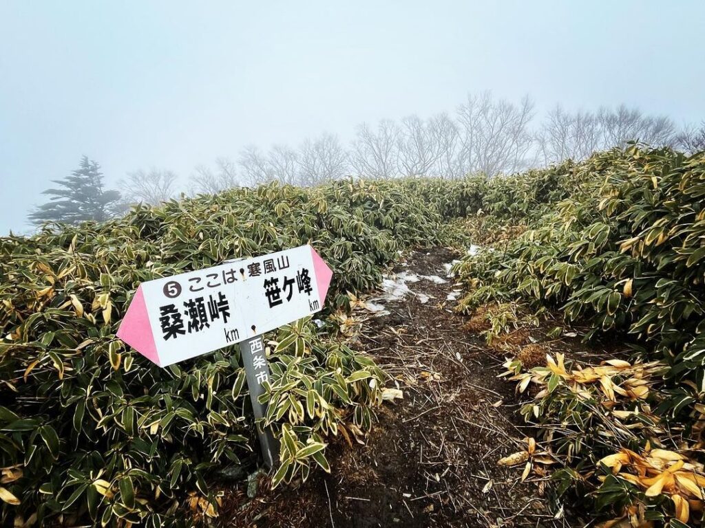
寒風山から笹ヶ峰へ向かいます。
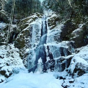
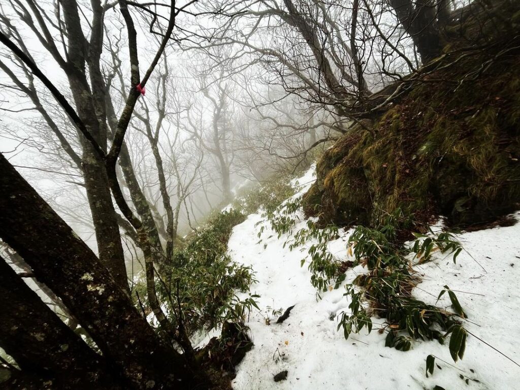
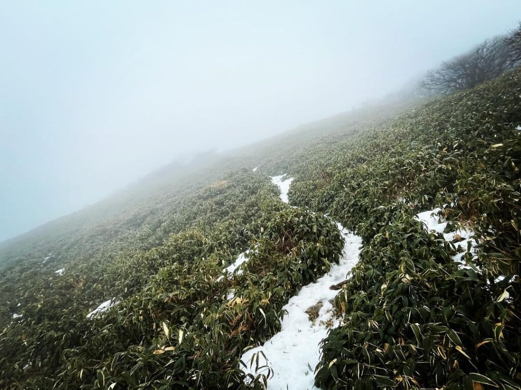
分岐点を笹ヶ峰方面に下りたとたんに銀色の世界に。
雪道のスタートです。
山の方向が違うだけで、こんなにも雪の残り方が違うのですね。
笹道の上に雪が積もっているので、ところどころ踏み抜いて深いです。
まずは寒風山を下りて鞍部へ。
そして、笹ヶ峰へ登り直します。
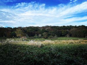
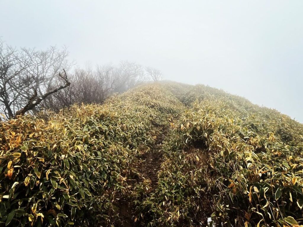
笹ヶ峰、その名の通りイブキザサに覆われたお山です。
真っ白な雲の中、笹原の中の登山道だけ雪が積もっている状況。
なかなか不思議な光景です。
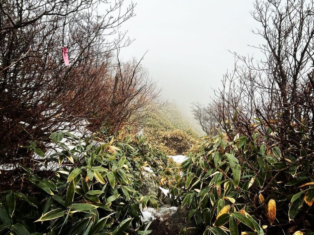
本来でしたら、笹の稜線の景色を楽しんで歩けるのですが、今日はとにかく真っ白。
雪で歩きづらい上に、距離感がまったく掴めないため、とにかく遠く感じます。
YAMAPの予想到着時刻も歩くたびに伸びていきます。
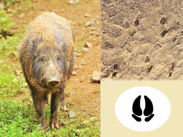
途中、鹿にも出会いました。鹿は初めて。
最後は笹原をひたすら歩き続けます。
雲が晴れたら、きれいなのだろうなぁ。
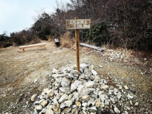
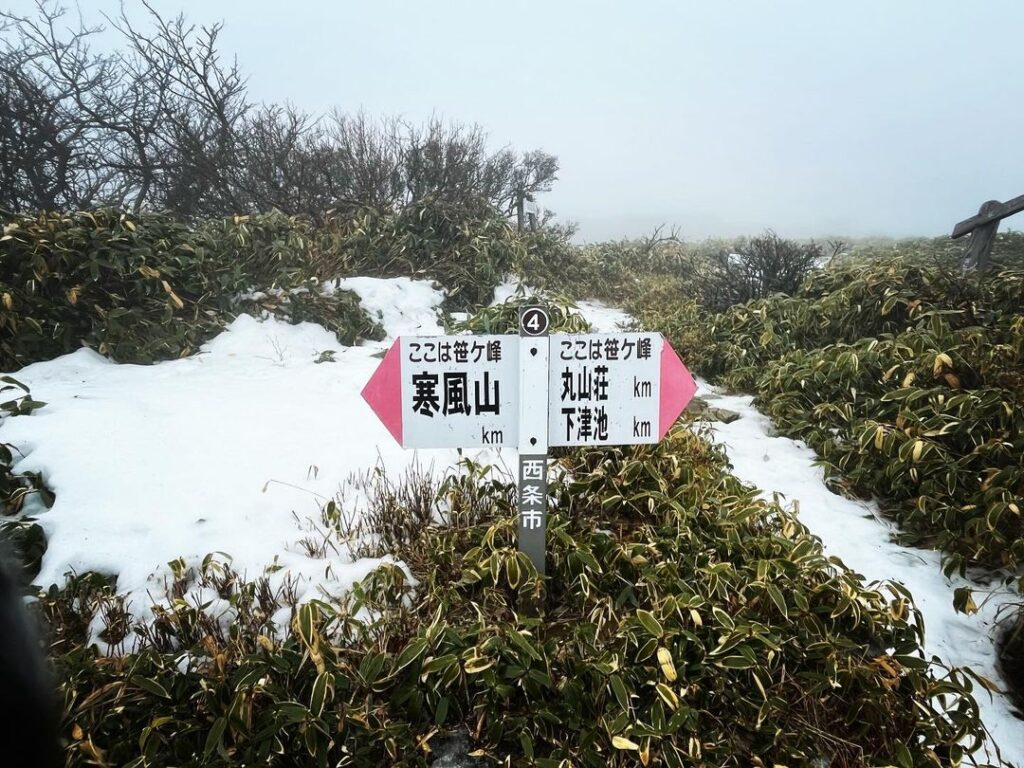
そして、ようやく丸山荘への分岐点へ。
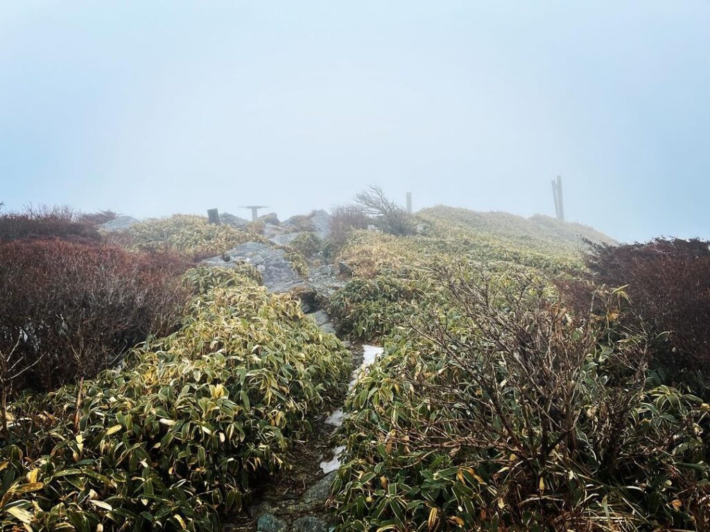
いよいよ最後の登りです。
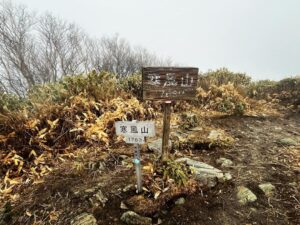
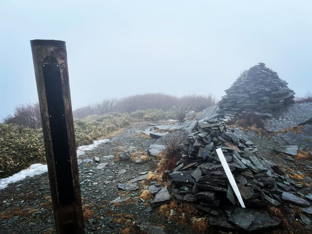
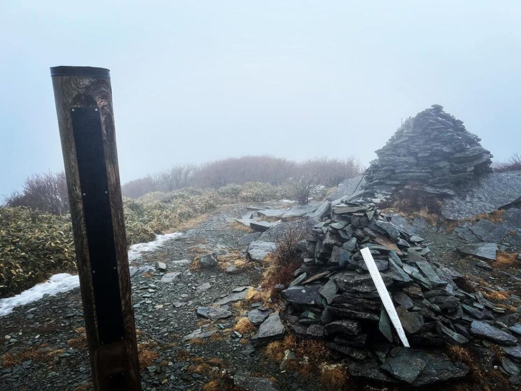
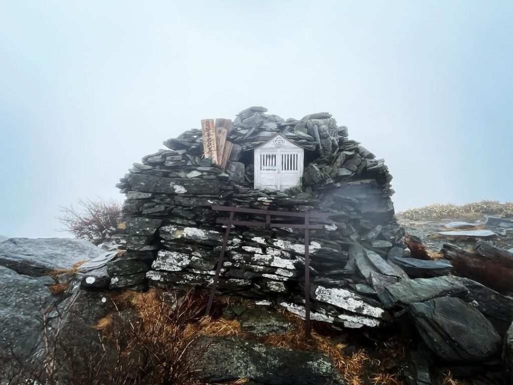
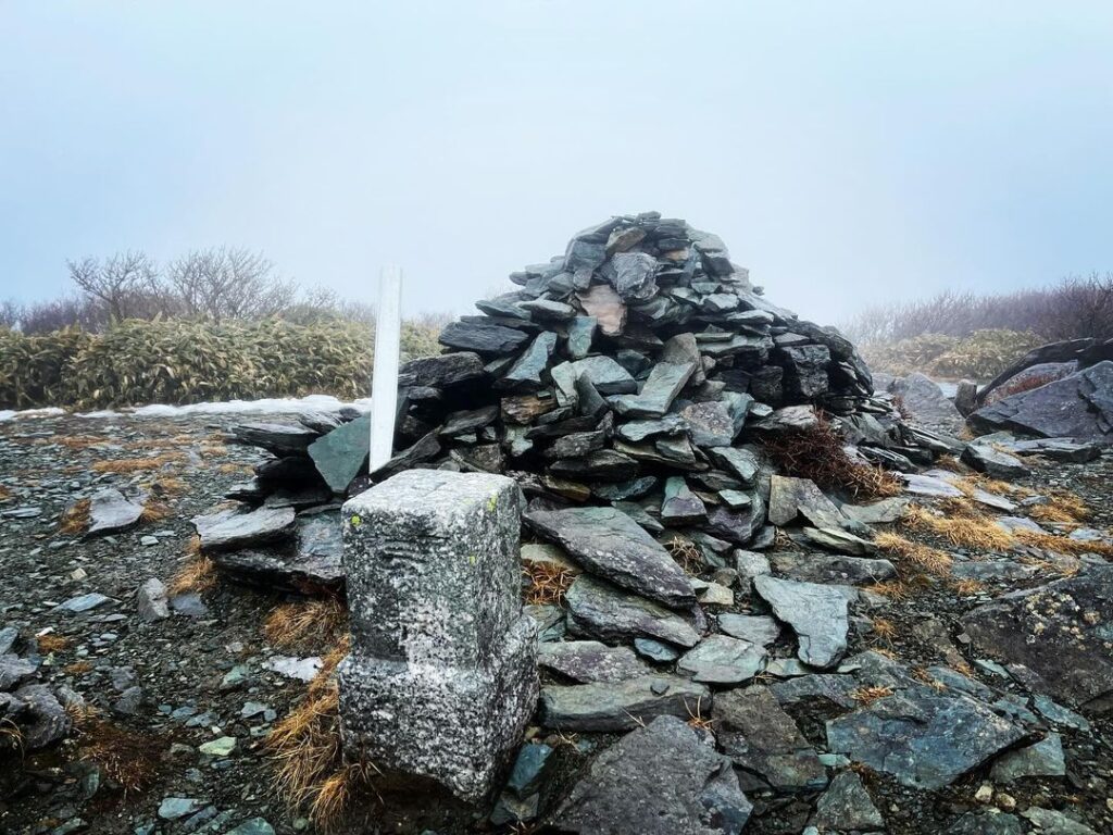
強い雨風の中、笹ヶ峰山頂に到着です。
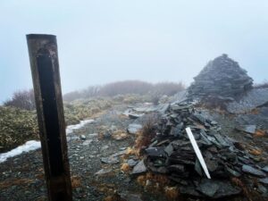
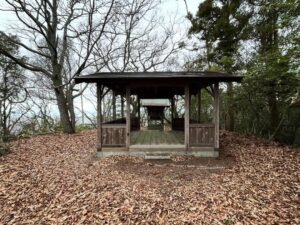
標識と三角点、石鉄蔵王大権現の祠、そしてケルン。
笹ヶ峰で昼食の予定だったのですが、雨風が強すぎて寒すぎます!
時刻は12時。
実は、ちち山も目指せるかなぁと欲張っていたのですが、時間的にとても無理なので素直に諦めました。
さて、下山。
お腹すいたなぁ。
稜線は逃げ場がないのが難点。
行動食のアルフォート様様でした。
晴れていたら景色が素晴らしいのだろうなぁ
途中で鹿に出会うことができました、鹿の足跡はいっぱいありました
雨風が強くて寒すぎました
#笹ヶ峰
#ささがみね
#標高1860m
#笹ヶ峰自然環境保全地域
#日本二百名山
#四国百名山
#三角点
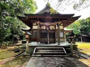
#金剛笹ヶ峰石鉄蔵王大権現
#石鉄蔵王大権現
#大日大聖不動明王
#愛媛の小山登り
#小山登り
#愛媛県
#西条市
#高知県
#いの町
#チェーンスパイク
#寒風山
#ちち山
#イブキザサ
#YAMAP
#丸山荘
#ケルン
#アルフォート
From Kanpuzan, head toward Sasagamine.
As soon as you descend the junction in the direction of Sasagamine, you will find yourself in a world of silver.
This is the start of the snowy road.
The snow is so different just by the direction of the mountain.
The snow is piled on top of the bamboo grass paths, so it is deep in places to step over.
First, we descend Mt. Kanpu to the saddle.
Then, we climb back up to Sasagamine.
Sasagamine, as the name suggests, is a mountain covered with Ibukizasa.
In the pure white clouds, only the trail in the bamboo grove is covered with snow.
It is quite a strange sight.
Normally, we would have been able to enjoy the view of the bamboo ridge, but today it was all white.
In addition to the snow making it difficult to walk, the distance felt very far because we had no sense of distance at all.
The estimated time of arrival on the Yamap map also increased as we walked.
On the way, we also encountered a deer. It was my first time seeing deer.
Finally, we continued walking through the bamboo grasslands.
It must be beautiful when the clouds clear.
Finally, we reached the junction to Maruyama-so.
Finally, it was time for the final ascent.
We arrive at the summit of Sasagamine in the strong wind and rain.
There is a sign, a triangular point, a shrine of Ishitetsu Zao Daigongen, and a cairn.
We had planned to have lunch at Sasagamine, but the rain and wind were too strong and it was too cold!
The time was 12 o’clock.
Actually, we had hoped to climb Mt. Chichi, but it was too time-consuming, so we gave up.
Now, it was time to go back down the mountain.
I was so hungry.
It is difficult to escape from the ridge line.
Thank goodness for Alfort, the action food.
ガスの中の笹ヶ峰山頂(動画)
笹ヶ峰の登山口(旧寒風山トンネル南口)
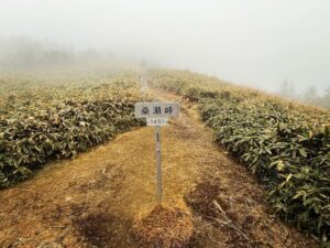
桑瀬峠のMAP
寒風山のMAP
笹ヶ峰のMAP