水ヶ峠 松山市側の林道から(愛媛県松山市・愛媛県今治市)標高約700m
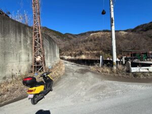
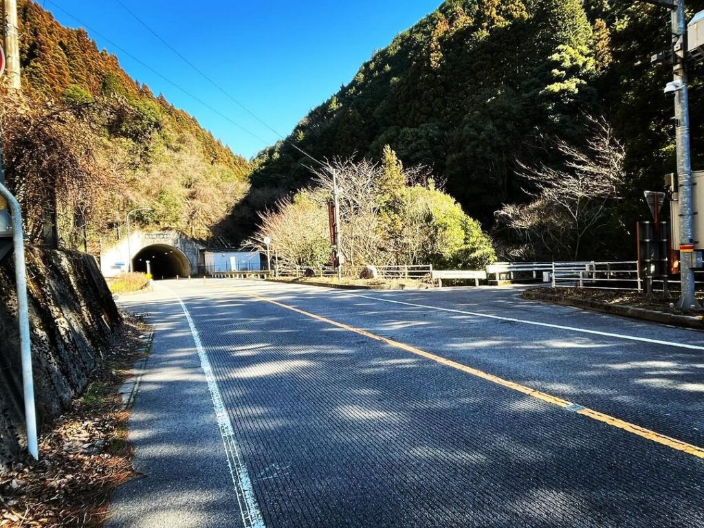
国道317号線、松山側から水ヶ峠トンネルに入るすぐ手前右手に、林道に入る道があります。
石手川にかかる峠口橋を渡ったら左手へ進みます。
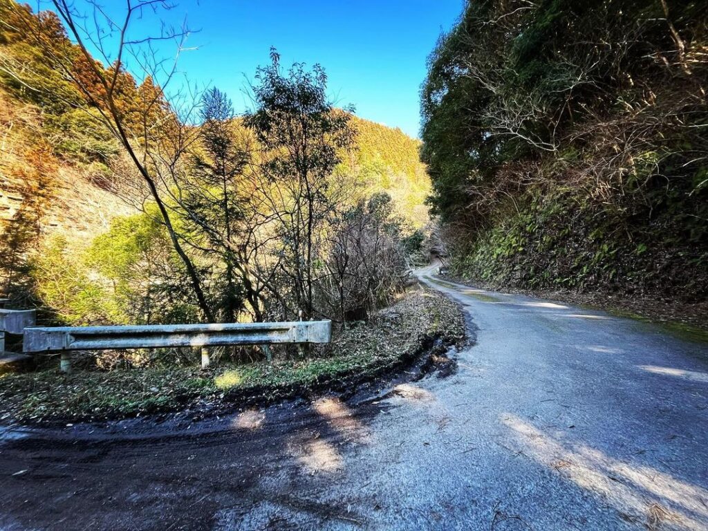
この林道、愛媛大学が管理されているようで、災害復旧工事をされているようです。
とりあえず、進んでみます。
道は比較的しっかりしていて走りやすいです。
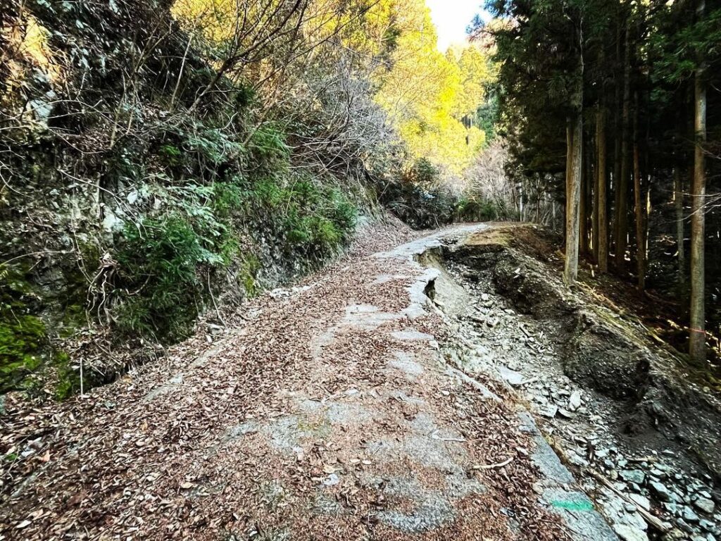
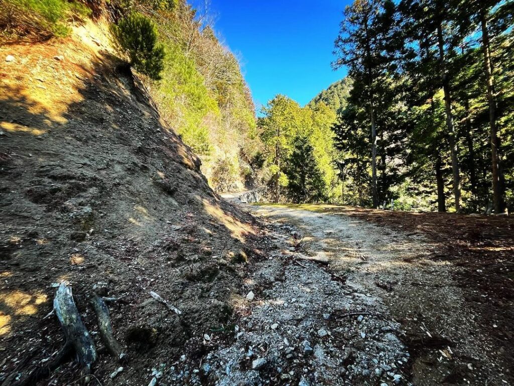
が、しばらく進むと半分道が崩落しています。
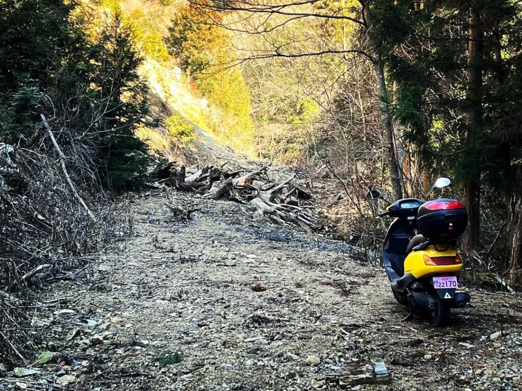
さらに、しばらく進むと完全に土砂崩れで埋まっていました。
杉木を切った後の山が崩落した感じですね。
木々の根の大切さがわかります。
歩いて乗り越えられそうだったので、スクーターを置いて歩きに切り替え。
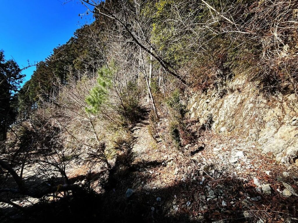
何ヵ所かの土砂崩れを越えて、水ヶ峠の下へ。
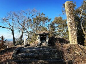
峠に登る道を見つけましたので登ってみます。
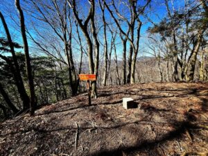
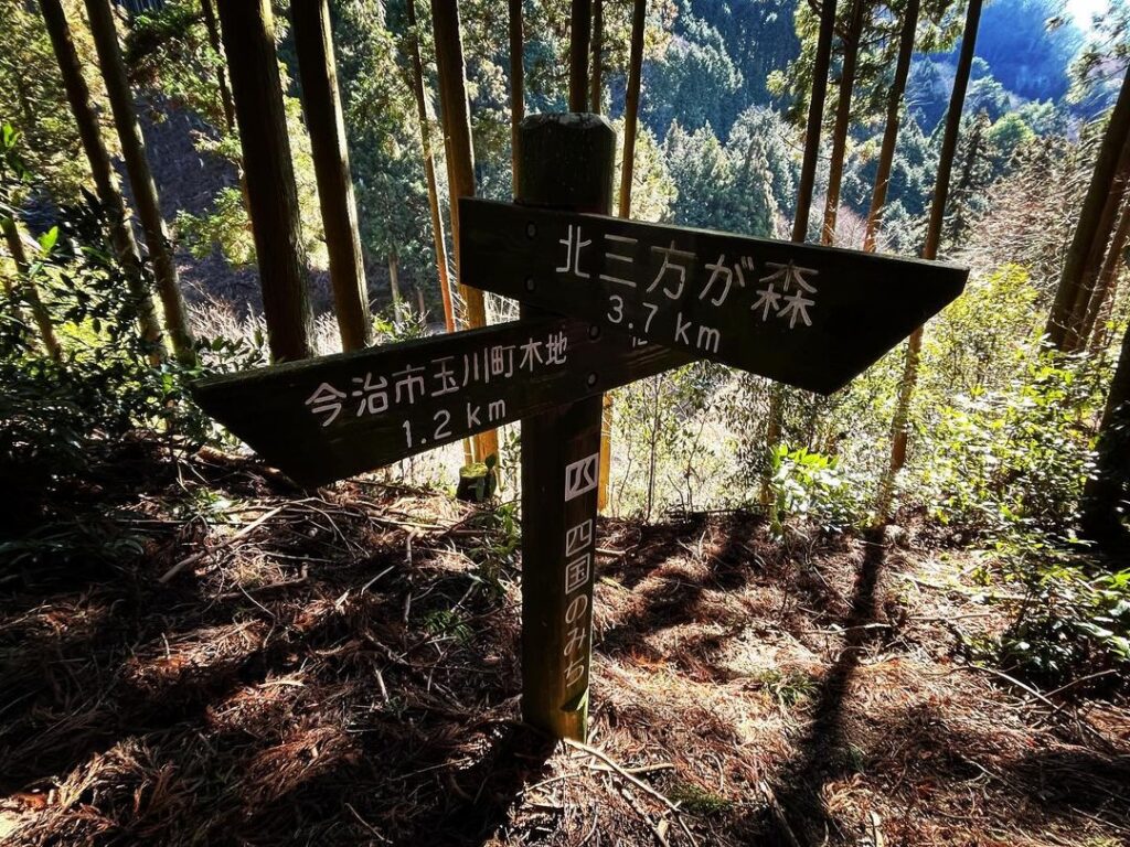
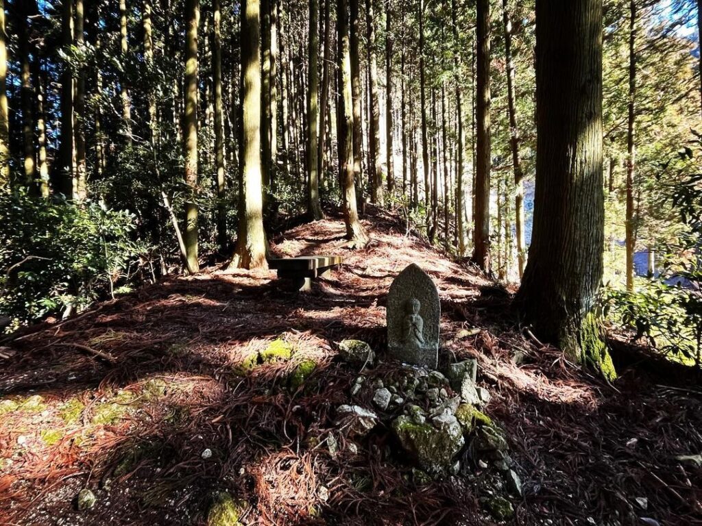
10mほど登ると水ヶ峠の標識がありました。
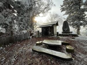
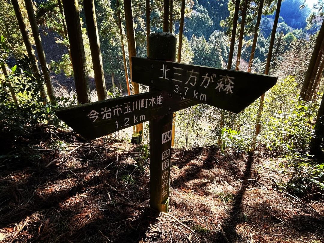
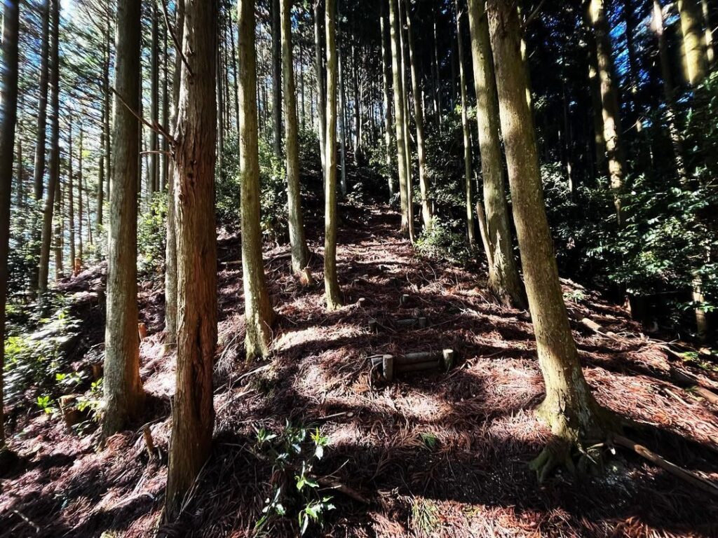
階段側に進むと北三方ヶ森、お地蔵さんの裏手の山に進むと伊之子山に向かいます。

杉木を切った斜面が崩落した様子、落石に注意して進みます
#水ヶ峠
#みずがとうげ
#みずがとうれ
#標高約700m
#四国のみち
#北三方ヶ森
#北三方が森
#伊之子山
#愛媛の小山登り
#小山登り
#愛媛県
#松山市
#今治市
#水ヶ峠トンネル
On Route 317, just before entering the Mizugatoge Tunnel from the Matsuyama side, there is a path to a forest road on your right.
After crossing the Tougeguchi Bridge over the Ishide River, turn left.
This forest road seems to be managed by Ehime University and is undergoing disaster restoration work.
At any rate, let’s proceed.
The road is relatively firm and easy to drive.
However, after a while, half of the road has collapsed.
After a while, the road was completely buried by a landslide.
It looks like the mountain collapsed after the cedar trees were cut down.
You can see how important the roots of the trees are.
It looked like we could get over it on foot, so we left the scooter behind and switched to walking.
After crossing several landslides, we reached the bottom of Mizugatoge.
We found a path up to the pass, so we climbed up.
After climbing about 10 meters, we found a sign for Mizugatoge.
If you go to the stairway side, you will reach Kitamikatagamori, and if you go to the mountain behind the Jizo-san, you will reach Inokoyama.
水ヶ峠の入り口(松山側)
林道・水ヶ峠付近のMAP
水ヶ峠のMAP