御幸寺山 愛媛県護国神社の裏山(愛媛県松山市)標高164.64m
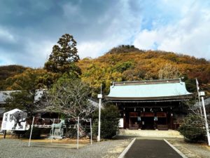
愛媛県護国神社の裏山、御幸寺山!
私の小中学校の校区内にあります。
護国神社の裏山といっても、その名の通り、そのお隣にある御幸寺の奥横に登山道があります。
約160mを一気に上がるため、登山道はほぼ階段です。
地味にキツイ(笑)
途中にお堂があり、観世音菩薩がおられます。
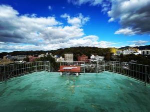
10分ほど登ると、広々とした頂上に。
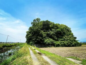
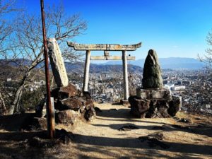
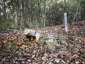
ここは石槌神社の遥拝所となっており、大岩に鎖が巻かれた祠があります。
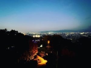
松山城(132m)をちょっと見下ろした松山の街並みを眺められます。
この山、「御幸寺山」のはずなのですが、頂上には「御幸山」との記載が。
さてさて、どちらが正しいのやら。


#御幸山
#御幸寺山
#みゆきじさん
#御幸寺
#護国神社
#愛媛県護国神社
#愛媛縣護國神社
#石鎚神社
#石槌神社遥拝所
#愛媛の小山登り
#小山登り
#蔵王大権現
#御幸寺山蔵王
#愛媛県
#松山市
#標高164.6m
Miukijisan, the mountain behind Ehime Gokoku Shrine!
It is located in my elementary and junior high school district.
Even though it is called “the mountain behind Gokoku Shrine,” as the name suggests, the trail is located at the back side of Gokokuji Temple, which is next to the shrine.
The trail is almost entirely stairs, as it goes up about 160 meters at a stretch.
It is hard work.
There is a hall on the way up, and Kannon Bosatsu (Goddess of Mercy) is there.
After about 10 minutes of climbing, you will reach the spacious summit.
There is a shrine with a chain wrapped around a large rock.
You can look down on Matsuyama Castle (132 meters) for a short distance.
This mountain is supposed to be “Miyukijiyama,” but at the top it is marked “Miyukiyama.
Now, which is correct?

