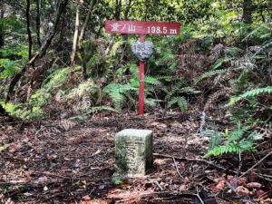
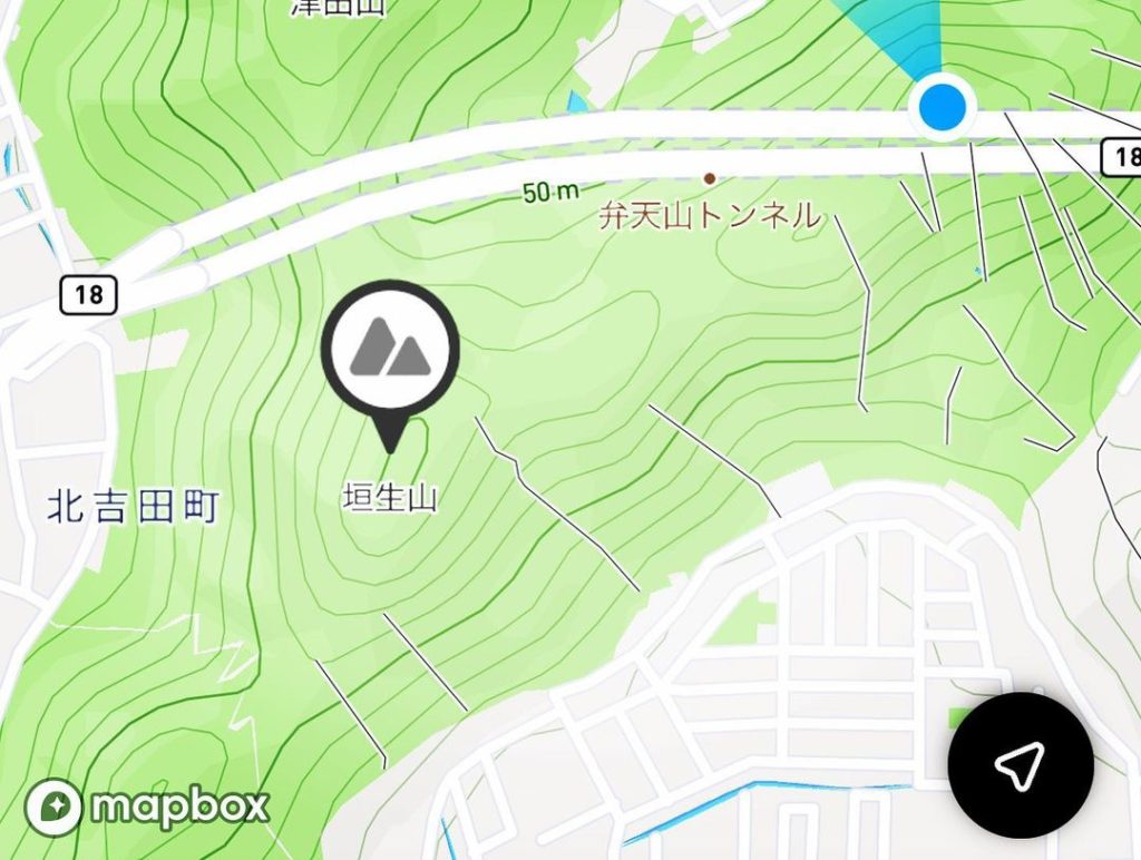
垣生山~権現山の縦走(愛媛県松山市)標高117m
今日、知り合った方から
「弁天山トンネルの上は歩いた?」
と言われ、権現山の存在を知りました。
とうことで、早速、垣生山から権現山を縦走してきました!
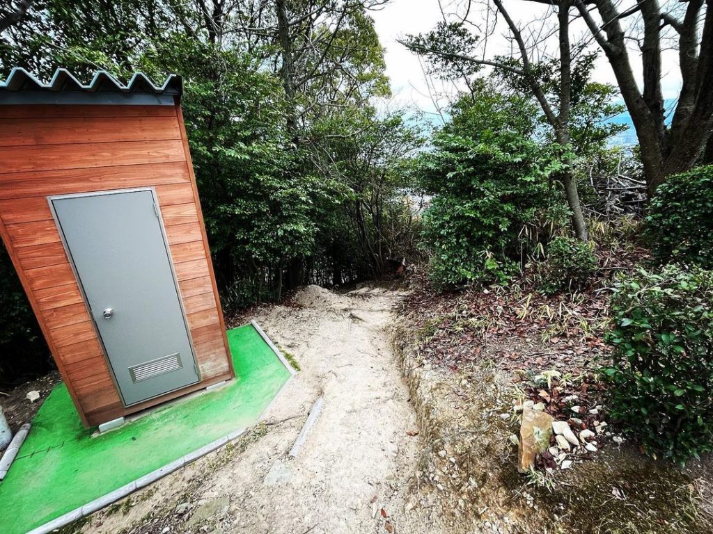
垣生山山頂の垣生山公園から、津田団地バス停という標識を見つけます。
こんなところに道があったんだ!とちょっと感動。
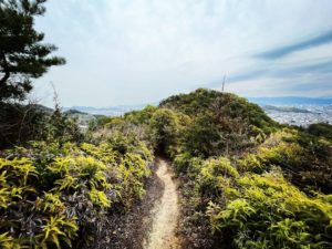
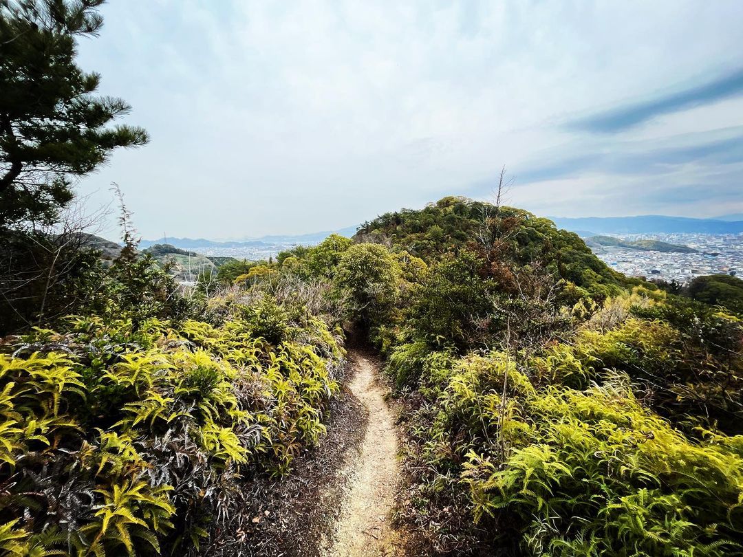
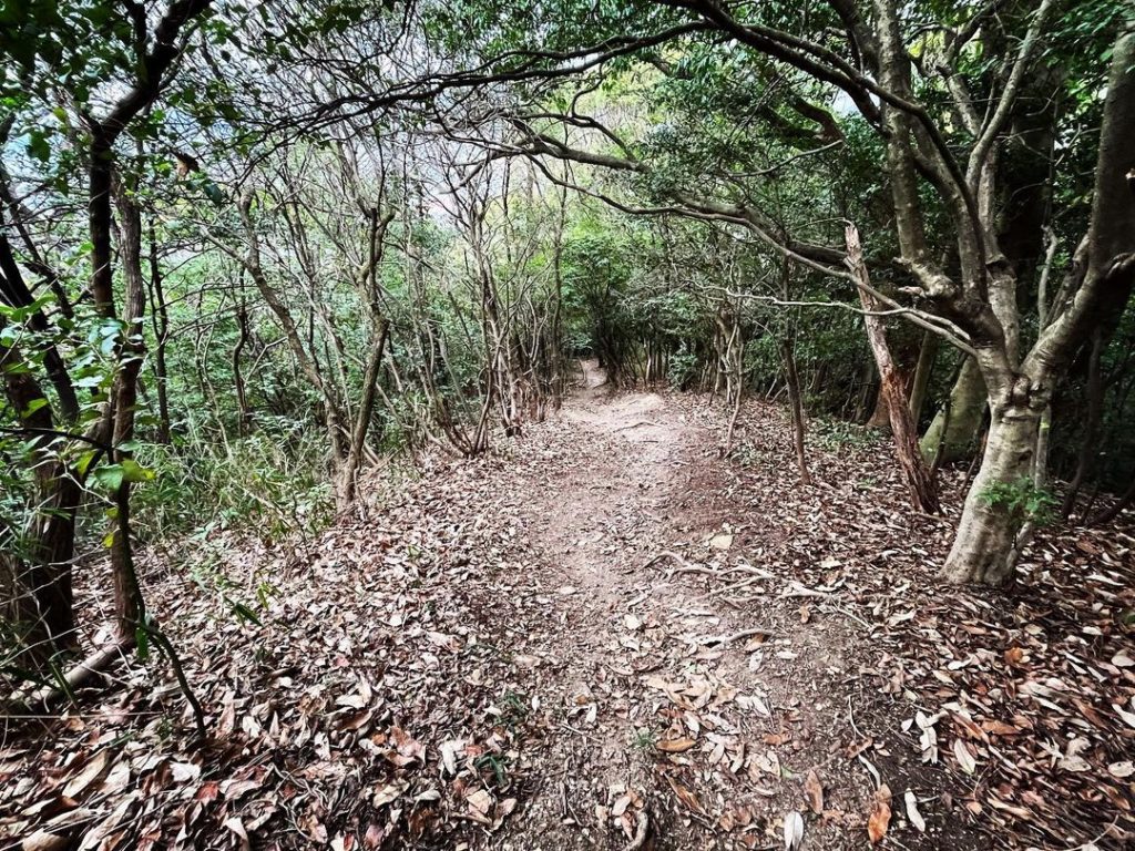
道は整備されていて、とても歩きやすいです。
途中の手作りの標識に「左右の景色を見よう!」と書いてありました。
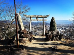
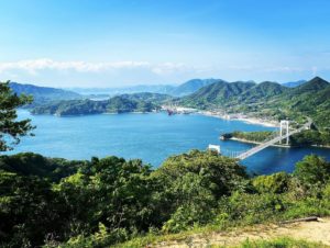
ふと、顔を上げると、稜線の左右に松山の街並みが見えます。
素晴らしい景色!
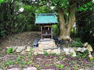
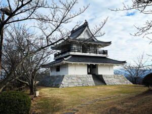
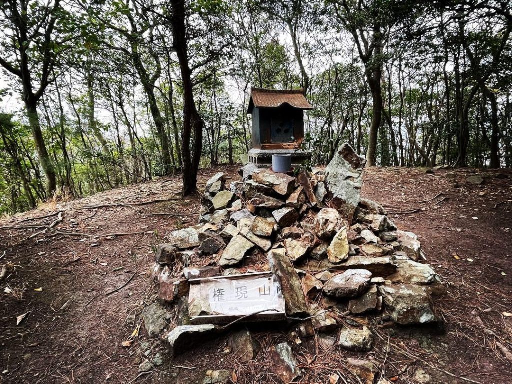
景色を抜けて少し歩くと、権現山の山頂に。
祠にお参りして、津田団地バス停の登山口に降りていきます。
ここからが急な山道!
一気に山を下っていきました。
お墓の裏が登山口となっていました。
降りると、今度は登らないといけませんよね。
急な山道を、せっせと登ります。
これ、トレーニングには良いかも。
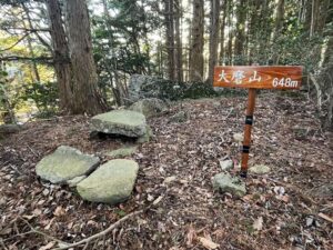
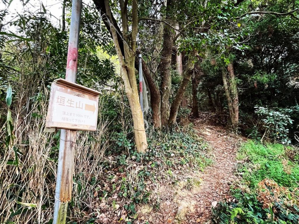
この登山口から垣生山山頂まで900m。
登りあり、気持ちの良い稜線あり、素敵な山道でした。

#権現山
#標高117m
#縦走
#垣生山
#垣生山公園
#愛媛の小山登り
#小山登り
#ふらっと登山
#思いつき登山
#愛媛県
#松山市
#津田団地
#弁天山トンネル
Today, a person I met said to me.
“Have you walked above the Bentenyama Tunnel?”
Gongenyama,” and I learned about the existence of Gongenyama.
So, I immediately traversed Mt. Gongen from Mt.
From Habuyama Park at the top of Mt. Habu, you will find a sign that says Tsuda Danchi bus stop.
I was a bit impressed that there was a road here! I was a bit impressed.
The path is well maintained and very easy to walk.
A handmade sign on the way said, “Look at the scenery on both sides! I looked up and saw a ridge.
I looked up and saw the town of Matsuyama on either side of the ridge.
Wonderful views!
After a short walk through the scenery, we reached the summit of Gongenyama.
We paid our respects at the shrine and descended to the trailhead at the Tsuda Danchi bus stop.
Steep mountain path from here!
We went down the mountain at once.
The trailhead was behind a grave.
After descending, we now had to climb up the mountain.
We climbed up the steep mountain path.
This might be good for training.
It is 900 meters from this trailhead to the summit of Mt.
It was a nice mountain path with a climb and a pleasant ridge line.