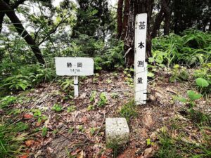
高月山 勝岡八幡神社の裏山(愛媛県松山市)標高約50m
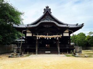
勝岡八幡神社から高月山へ。
本殿裏から、舗装された道を登っていきます。
しばらく登ると農道に合流。
右手が上り、左手が下りになっていますので、右手に上っていきます。
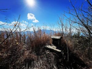
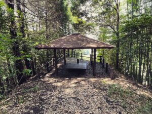
どんどん上っていくと広場に。
ここが山頂広場のようです。
元はみかん畑と聞いていましたが、面影はモノレールと貯水タンクのみ。
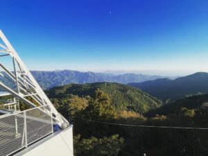
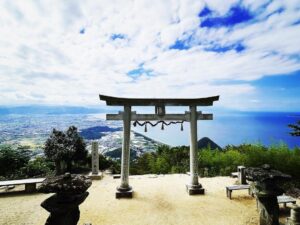
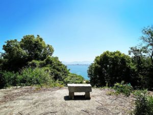
貯水タンクの上から、少し眺望が見れました。
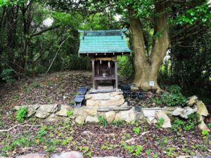
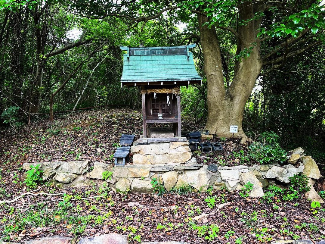
祠が祭られていましたのでご挨拶。
祠の裏が最高地点のようですが、特に何もありません。残念。


祠の裏がピークですが、特筆すべきものはありません

#高月山
#たかつきやま
#標高約50m
#勝岡丘陵
#勝岡
#愛媛の小山登り
#小山登り
#愛媛県
#松山市
#勝岡八幡神社
#高月山古墳
From Katsuoka Hachiman Shrine to Mt.
From the back of the main shrine, climb up the paved road.
After climbing for a while, the path joins a farm road.
The right hand side is uphill and the left hand side is downhill, so go up to the right.
As you continue up, you will come to a plaza.
This seems to be the summit plaza.
We had heard that it used to be a mandarin orchard, but all that remains are a monorail and a water tank.
From the top of the water tank, we could see a little view.
We greeted the shrine.
It seems that the highest point is behind the shrine, but there is nothing special there. It is a pity.
高月山の登山口
高月山のMAP