愛ノ山 三角点と展望のご褒美がある小山(愛媛県西条市丹原町)標高198.38m
「山を持っているんですよね」
と教えてもらったのが、丹原町の愛ノ山。
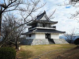
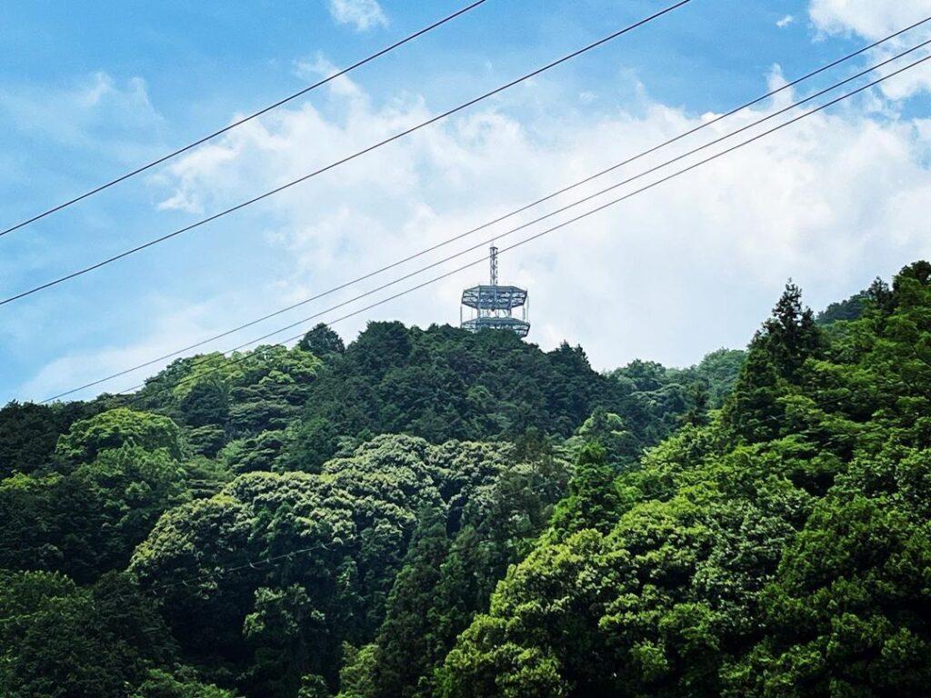
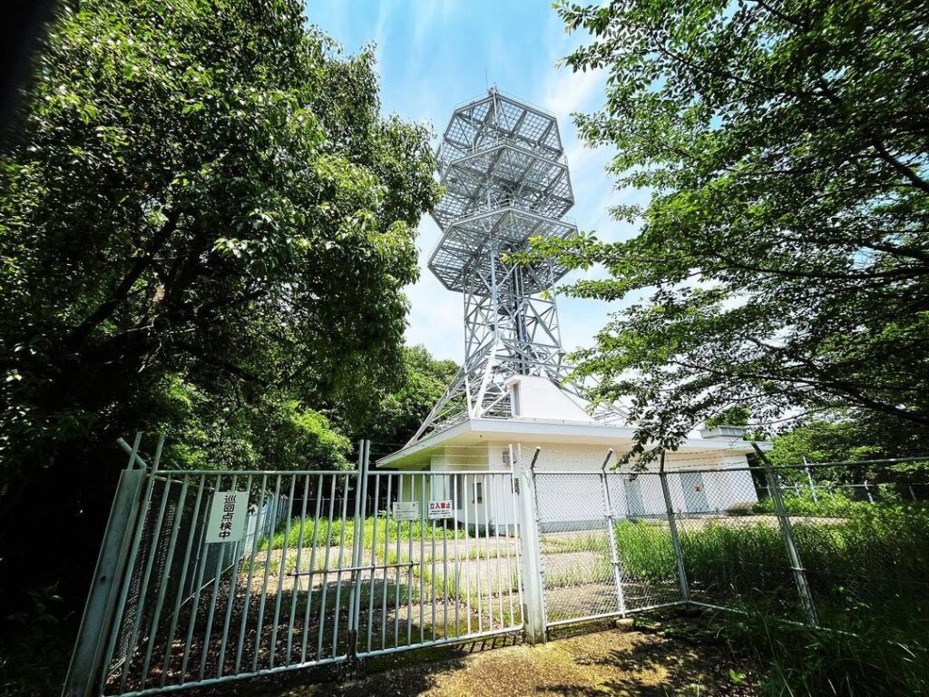
無線中継アンテナが目印です。
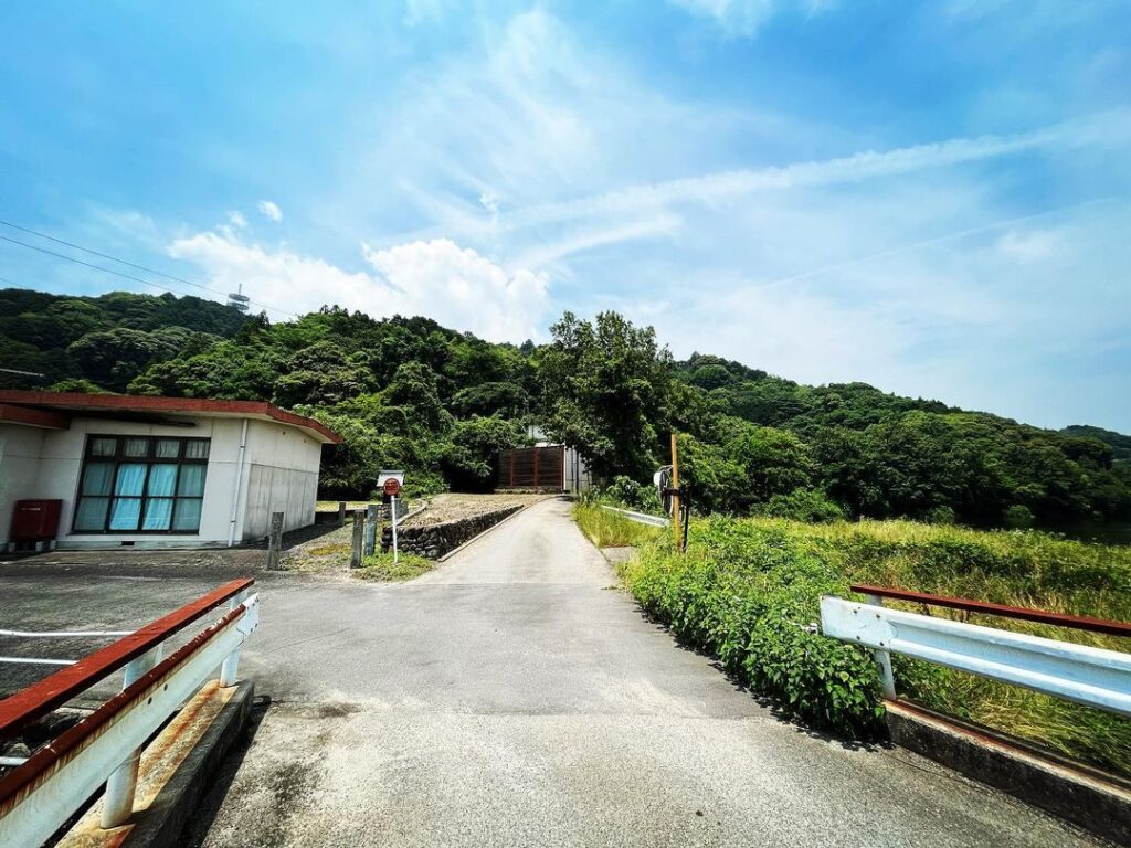
親水公園の兼久池沿いに進み、お堂の先の道を山手に入っていきます。
最終的に行き止まりの道ですが、とにかく道が狭いので、前から車が来ないことを願って登っていきます。
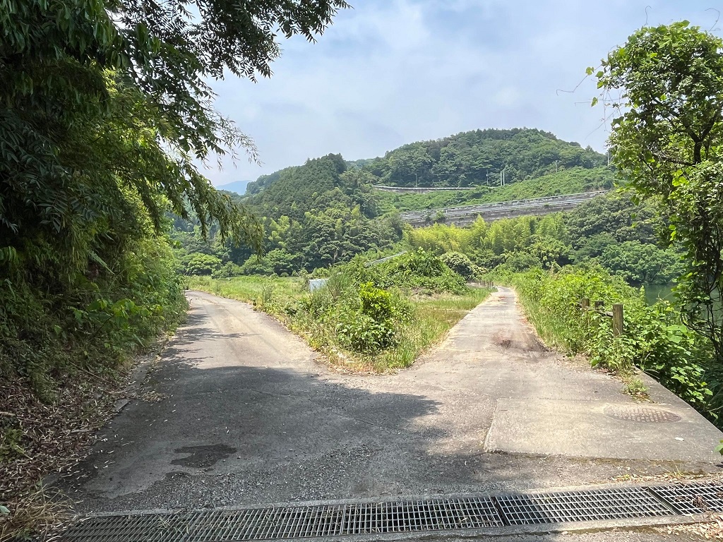
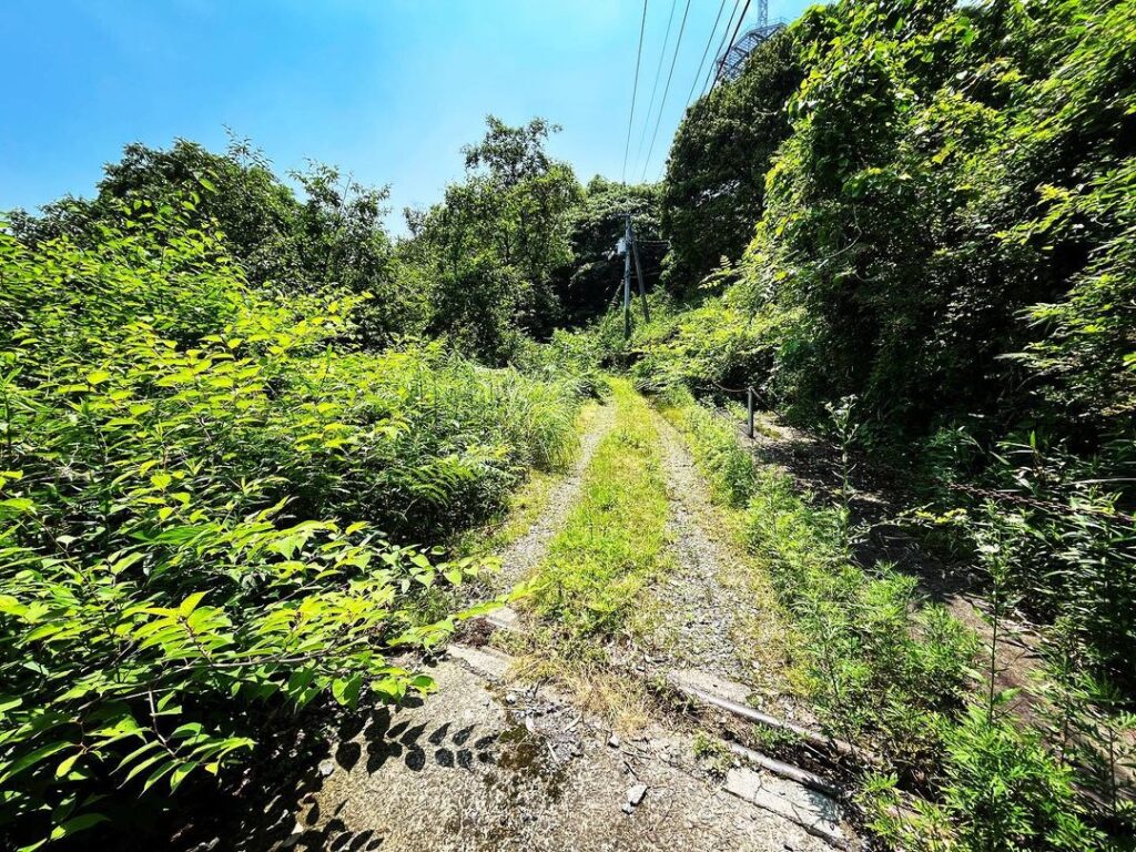
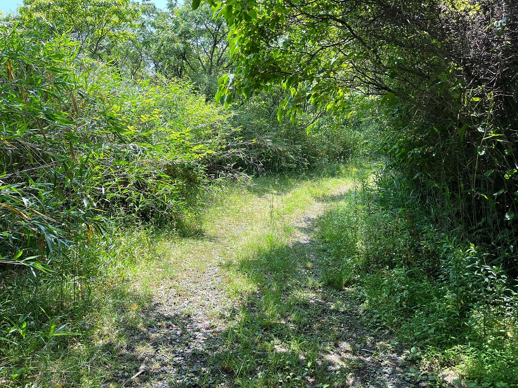
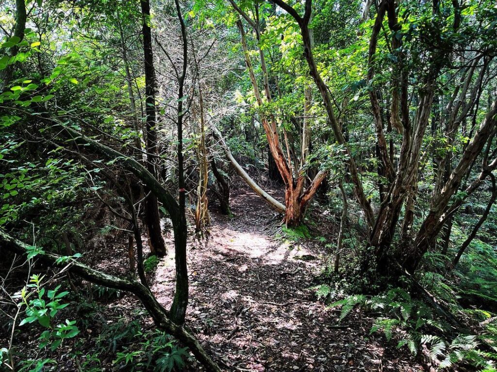
道は途中で、荒い砂利道になったり、藪道になったり。
Uターンできるスペースを見つけたら、早めに車を止めて歩くことをお奨めします。
道の終点は丹原無線中継所のアンテナ。
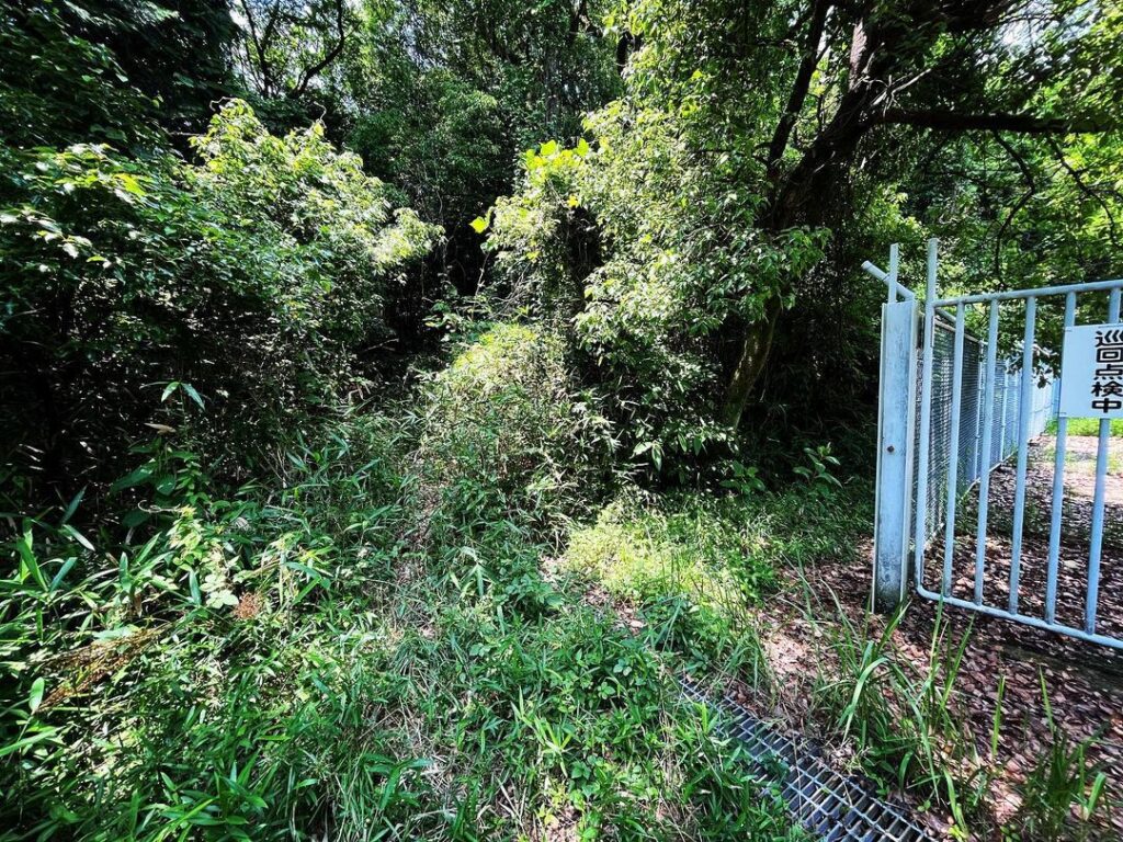
ここの左手が登山口となります。
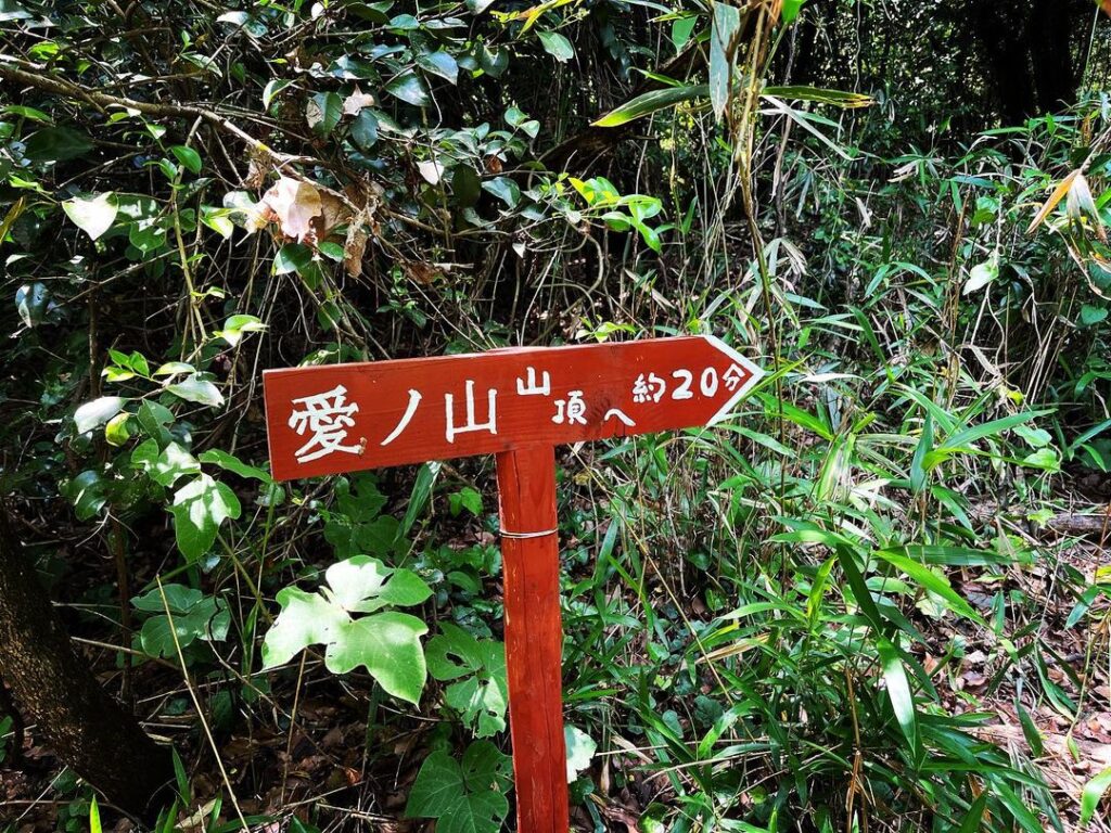
草藪の中に、新し目の、わかりやすい標識も見つけることができます。
草藪を抜けると、比較的わかりやすい登り道が見えます。
きちんと整備されているのか、草や笹はきれいに刈ってくれている感じでした。
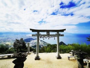
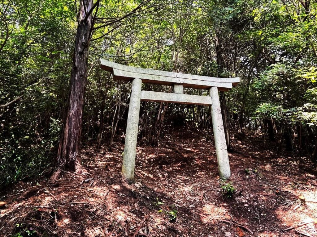
途中には石の鳥居が。
鳥居をくぐって進みます。
稜線に出ますので、左に進んで登っていきます。
山頂っぽい小さい広場に出ますが、ここは山頂ではありません。
もう少し、稜線を奥に進んでいきます。
一度小さく下って、もう一度登ります。
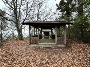
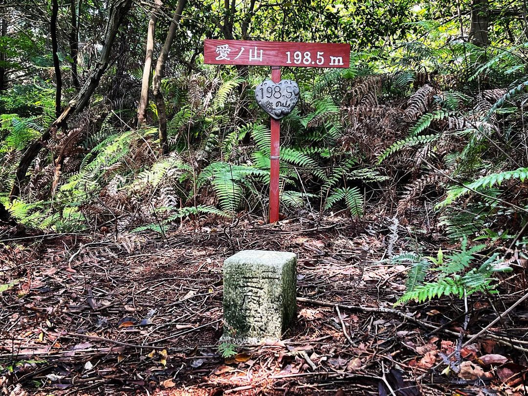
次のピークが山頂です。
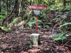
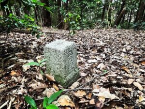
三角点と、愛ノ山と標高の標識が。
きれいに整備されていると、嬉しいですね。
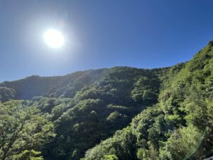
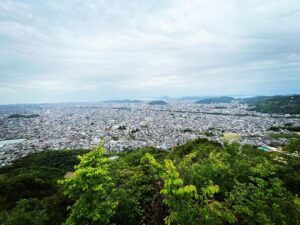
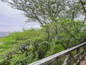
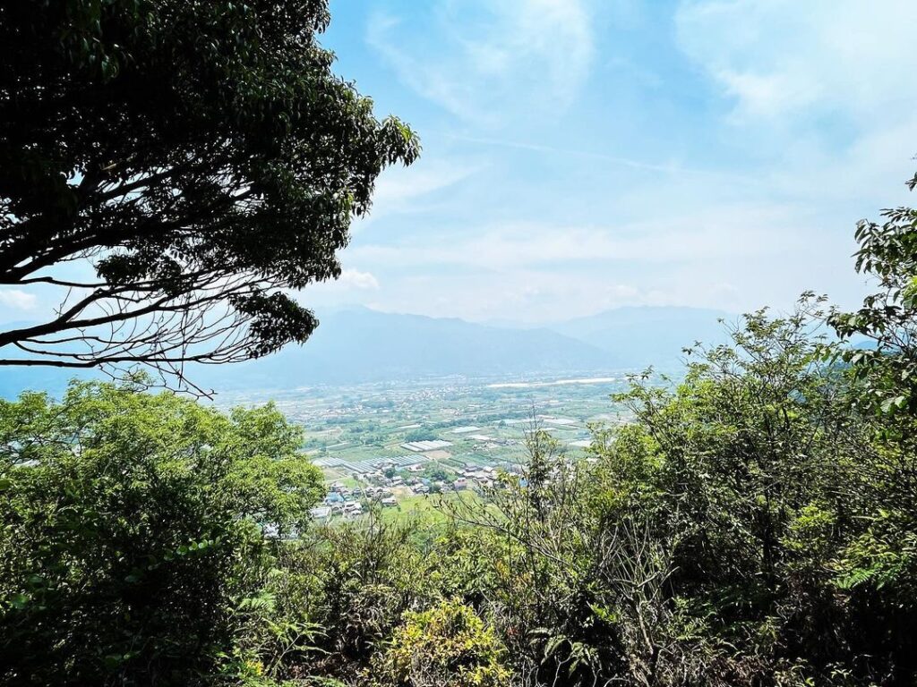
1ヵ所だけ展望ができる場所もあります。
石鎚山や瓶ヶ森が見えるのですが、本日は霞が強く、ぼんやりと見ることができました。
ほどほどの所で停めて、歩くことをお薦めします。
#愛ノ山
#あいのやま
#標高198m
#親水公園
#兼久池
#丹原無線中継所
#三角点
#愛媛の小山登り
#小山登り
#愛媛県
#西条市
#丹原町
‘I have a mountain.’
I was told that I have Aino Mountain in the town of Tanbara.
It is marked by a radio relay antenna.
Follow the road along the Kanehisa Pond in Shinsui Park, then follow the road ahead of the hall into the mountainside.
The road eventually dead-ends, but the path is narrow anyway, so you climb up, hoping that no cars will come in front of you.
The road becomes a rough gravel road and a bush road along the way.
When you find a space to make a U-turn, we recommend that you stop your car as soon as possible and walk on.
The road ends at the antenna of the Tanbara radio relay station.
The trailhead is to the left of here.
You will also find a new, easy-to-understand sign in the bushes.
After passing through the grass and bushes, you will see a relatively easy-to-follow path uphill.
The path is well maintained and the grass and bamboos have been neatly cut.
On the way, you will see a stone torii gate.
Pass through the torii and continue on.
You will reach a ridge line, so go left and climb up.
You will reach a small square that looks like a summit, but this is not the summit.
Continue along the ridge a little further.
Once you have made a small descent, climb up again.
The next peak is the summit.
There is a triangulation point and a sign with Aino mountain and elevation.
It is nice to see that the area is clean and well maintained.
There is one place with a view.
Mt.Ishizuchi and the Kamegamori forest can be seen, but today the haze was so strong that we could only see them dimly.