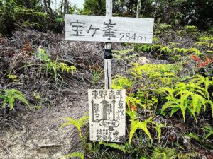
倉谷山 淡路ヶ峠→宝ヶ峯→倉谷山ルート(愛媛県松山市)標高410m
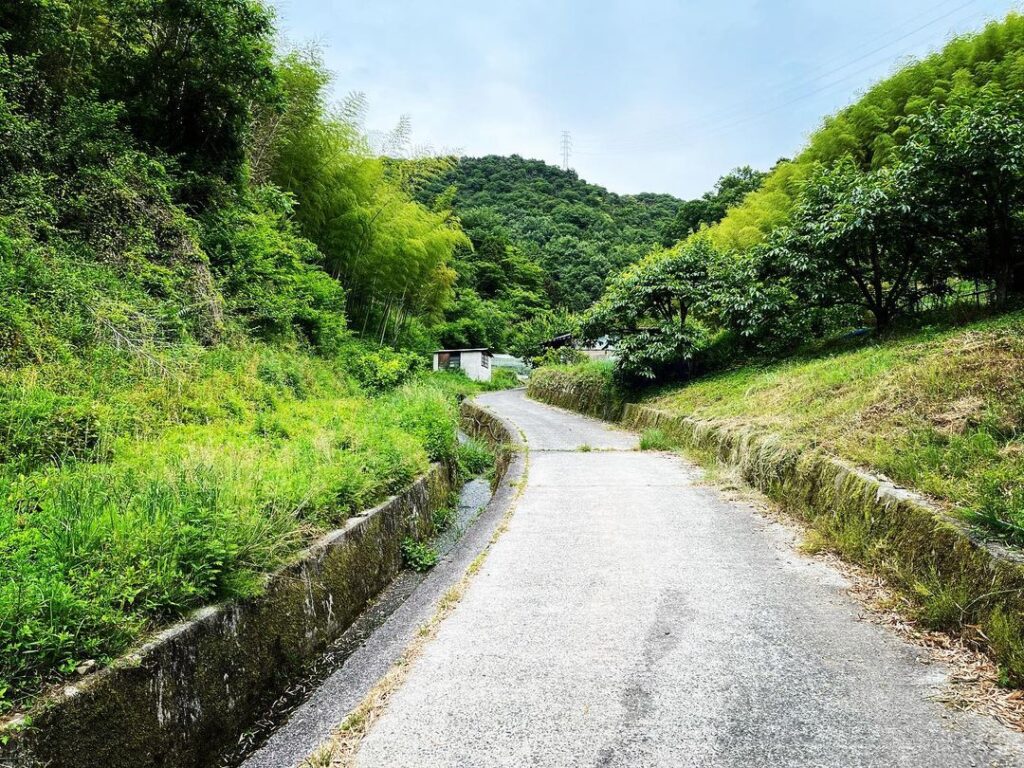
宝ヶ峯を東野側に降りて、車道を少し下ると、倉谷山の登山口です。
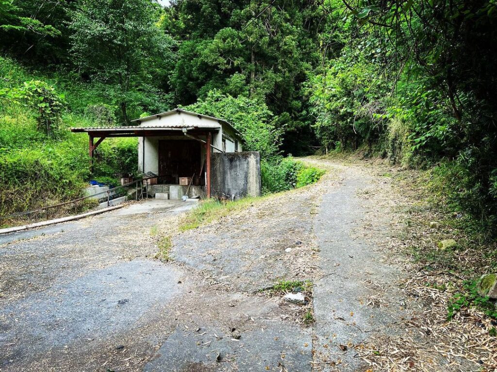
車道を登っていくと、沢の横道へ。
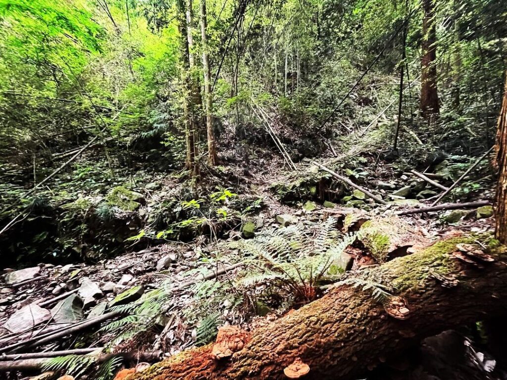
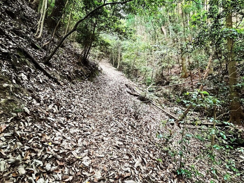
しばらく沢沿いを歩いて、沢を渡ると、いよいよ本格的な登山口です。
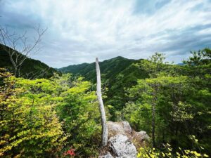
300m以上を登り続ける急坂道ですが、道はとても整備されていて歩きやすいです。
今日は時間制限があったため、下見程度で登り始めたのですが、標準ペースの約2倍の速足のためか、なんか登れそうな気がしてきます。
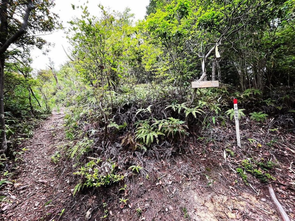
電波塔が見えたら分岐点を右折して、電波塔の下を通ります。
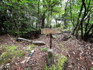
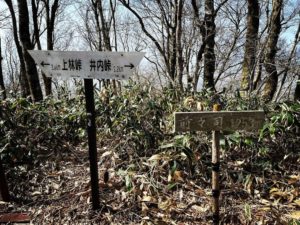
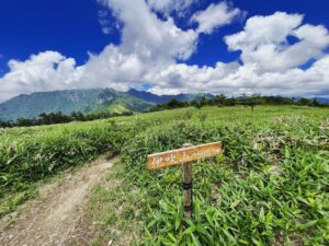
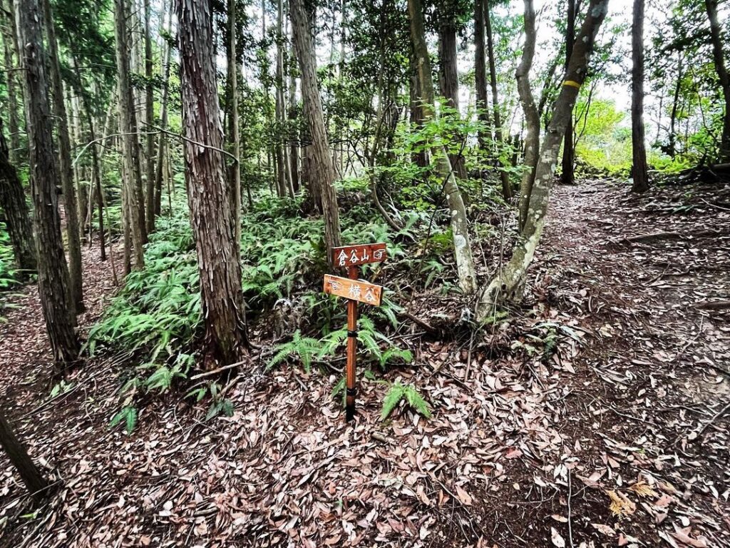
しばらく歩くと、倉谷山と横谷の分岐点が。
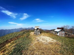
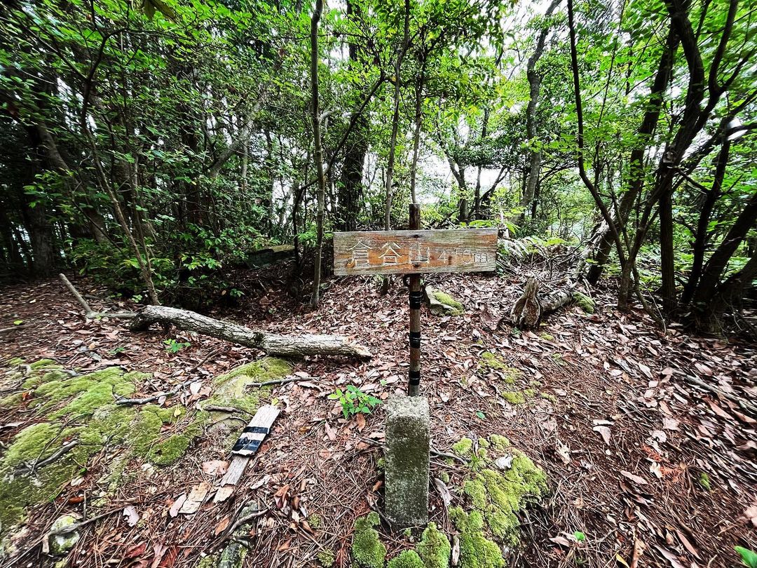
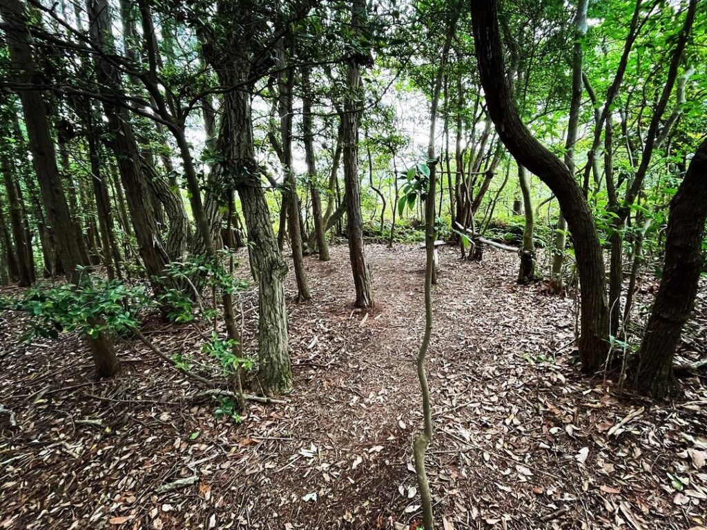
いよいよラストスパート!倉谷山山頂に到着です。
下見のつもりが、登れてしまいましたね。
(倍速速足ペースで40分程度)
予定の帰路開始時刻を10分程過ぎてしまいましたが、帰りで調整です。
山頂には三角点が。
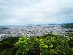
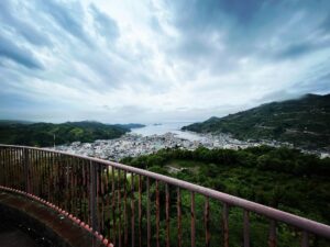
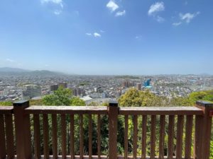
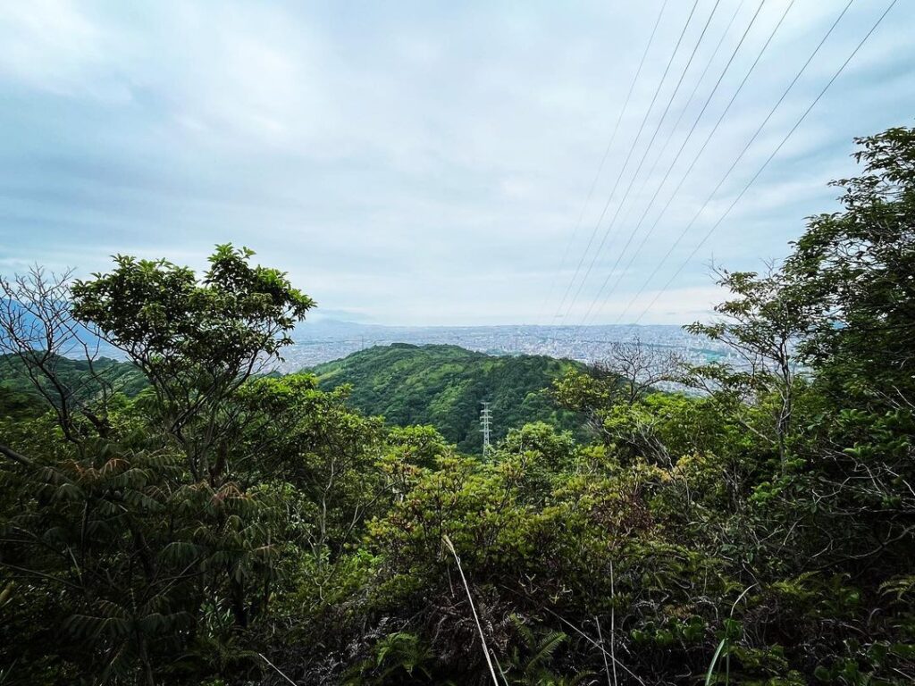
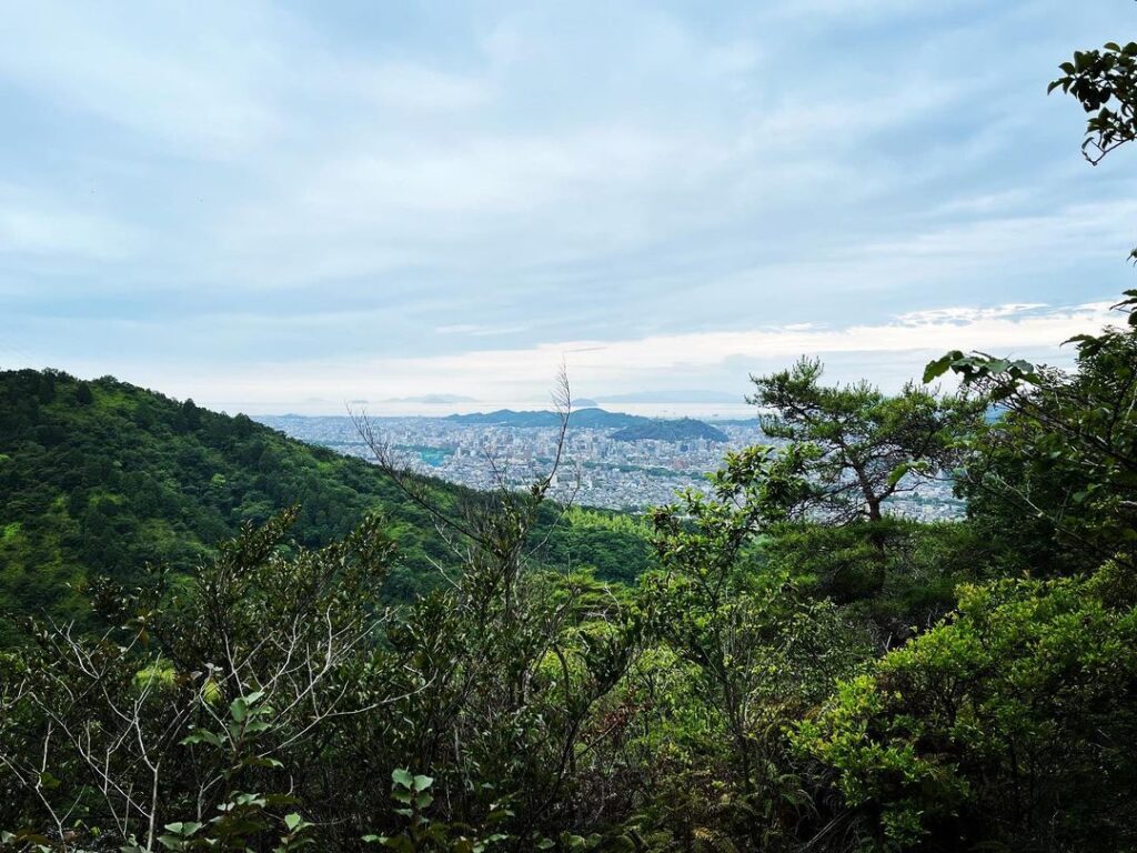
残念ながら眺望はありません。
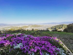
ただし、登山道に何ヵ所か眺望ポイントがあります。
登りは景色を楽しむ余裕がありませんでしたが、下りはしっかりと眺望を堪能することができました。
淡路ヶ峠→宝ヶ峯→倉谷山ルート 約4.2km、1時間40分の行程でした。
(もちろん速足ペースです)
#倉谷山
#くらたにやま
#標高410m
#三角点
#宝ヶ峯
#愛媛の小山登り
#小屋登り
#愛媛県
#松山市
After descending Takaragamine to the east field side, a short driveway leads down to the trailhead for Mt Kuratani.
After climbing up the carriageway, you will reach a side road of a stream.
After walking along the stream for a while and crossing it, you will finally reach the real trailhead.
The path is very well maintained and easy to walk on, although it is a steep path that continues uphill for more than 300 m.
Today there was a time limit, so we started climbing just as a preliminary inspection, but perhaps because we were walking about twice as fast as the standard pace, we felt like we could make the climb.
When you see the radio tower, turn right at the junction and pass under the tower.
After walking for a while, you will come to the junction of Kuratani-yama and Yokotani.
Finally, the last spurt! You have reached the summit of Mt Kuradani.
You thought you were going to have a look around, but you’ve made it up.
(about 40 minutes at double-fast pace).
It is 10 minutes past the scheduled start of the return journey, but we will adjust on the way back.
There is a triangular point on the summit.
Unfortunately, there is no view.
However, there are several viewpoints on the trail.
We did not have time to enjoy the view on the way up, but we were able to enjoy the view on the way down.
Awajiga Pass→Takaragamine→Kurataniyama route: approx. 4.2 km, 1 hr 40 mins.
(At a fast pace, of course).
倉谷山の登山口
倉谷山のMAP