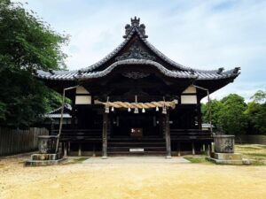
勝岡 勝岡八幡神社から勝岡丘陵へ(愛媛県松山市)標高147m
いて勝岡へ。
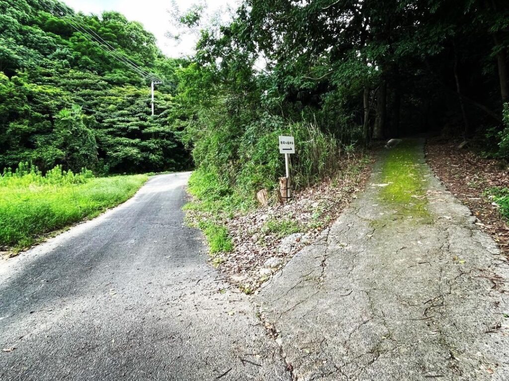
勝岡八幡神社の南側の農道を西に進んでいきます。
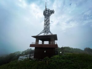
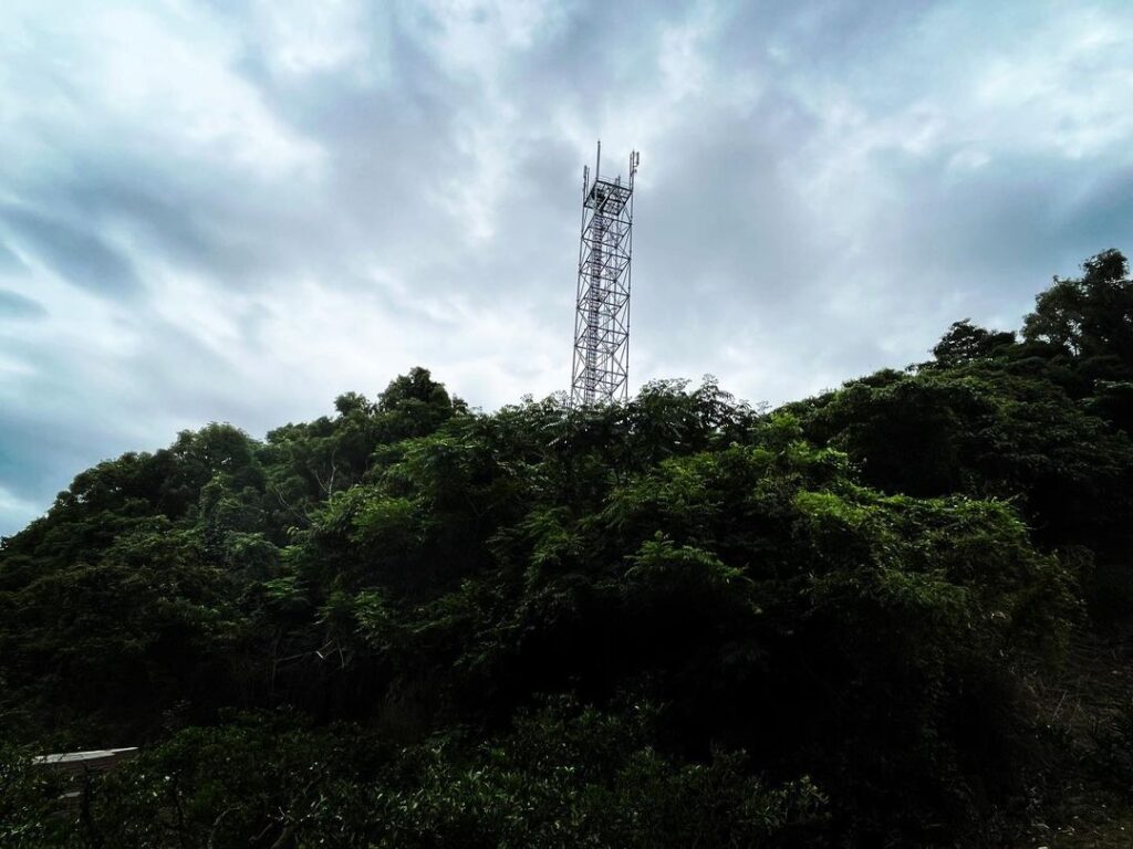
鉄塔を過ぎて、どんどん進んでいきます。
約1km弱ほど歩くと、3方向の農道が交わる尾根に到着。
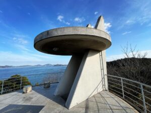
以前、太山寺から白石ノ鼻まで歩いた際に通った場所ですね。
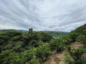
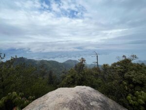
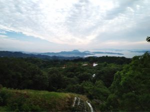
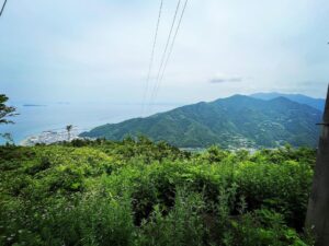
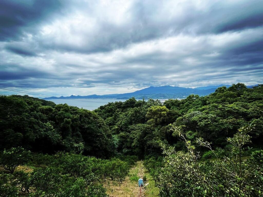
標高は約110m程度ですが、この場所は北条方面やら鹿島やら高縄山やらが見える絶景ポイント!
眺望を楽しんだら、太山寺方面に向かって登ります。
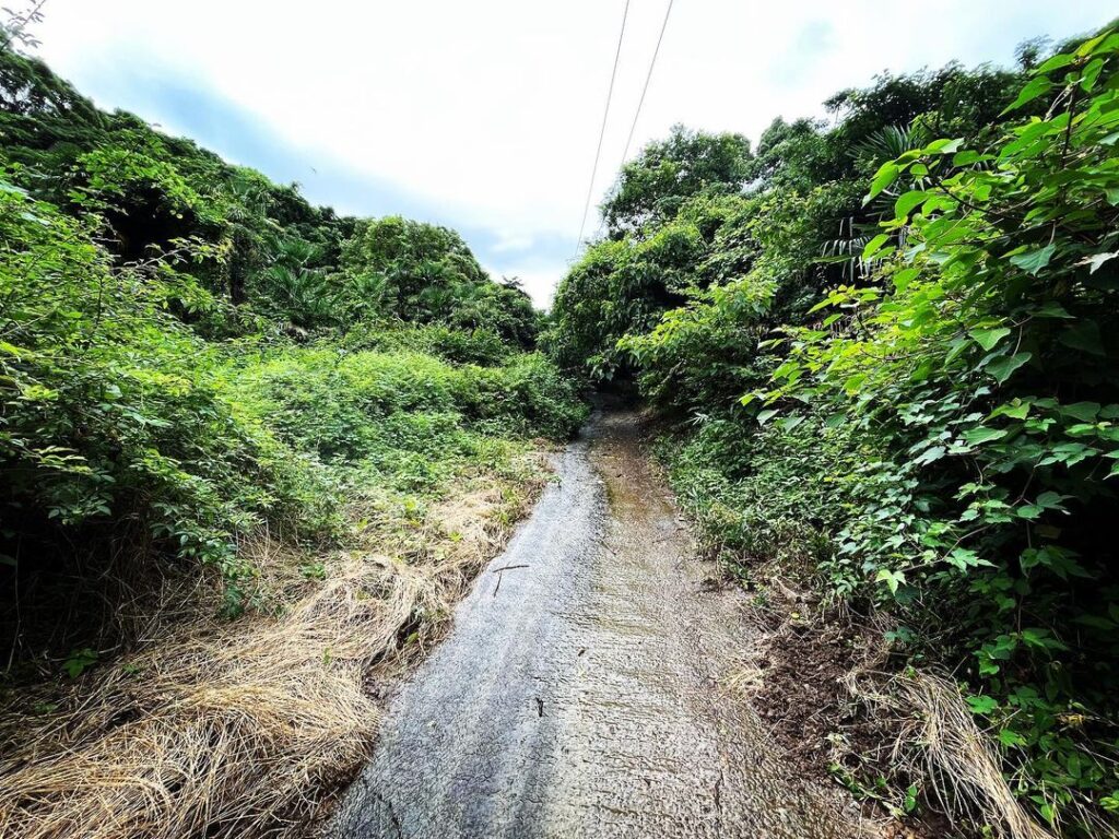
舗装された道を登っていくと、すぐに舗装がなくなります。
そこから少しだけ上るとピークっぽい地点に。
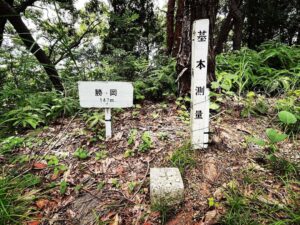
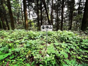
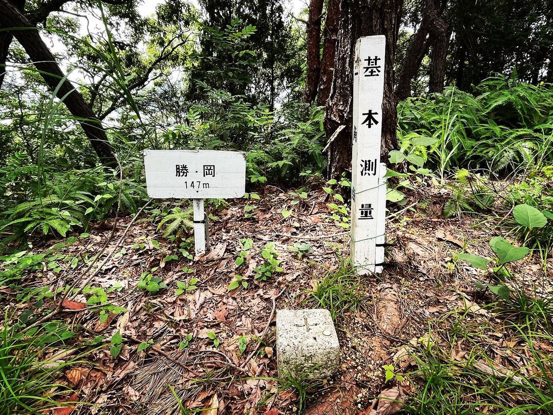
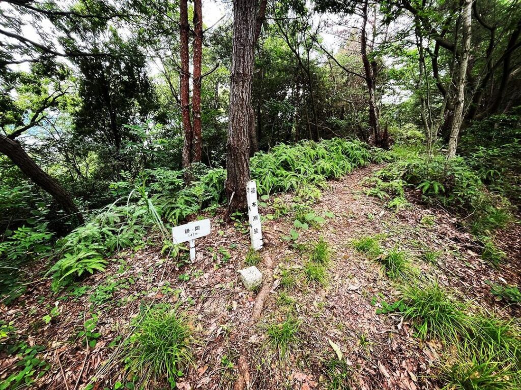
左手側に入っていくと、標識と三角点に出会えます!
縦走の本ルートから外れるため、知らないとスルーしちゃいますね。
勝岡八幡神社からの勝岡丘陵は、驚くほど簡単に登れます。
先日、地元の方が、秋~冬の眺望がお奨め!と話してくださったので、その時期にまた来たいと思います。


#勝岡
#かつおか
#標高147m
#勝岡山頂
#勝岡丘陵
#愛媛の小山登り
#小山登り
#愛媛県
#松山市
#三角点
#勝岡八幡神社
Continue to Katsuoka.
Continue west on the farm road south of Katsuoka Hachiman Shrine.
Passing a steel tower, keep going and going.
After walking about less than 1 km, you will arrive at a ridge where farm roads in three directions intersect.
This is the place you passed when you walked from Taisanji Temple to Shiraishinohana before.
Although the elevation is only about 110 meters, this is a superb viewpoint from which you can see the Hojo area, Kashima, and Mt!
After enjoying the view, we climbed up toward Taisanji Temple.
After enjoying the view, climb up the paved road, which soon runs out of pavement.
A short distance uphill from there is a peak-like point.
Entering on the left side, you will see a sign and a triangular point!
Since it is off the main route of the traverse, you will have to go through it if you don’t know it.
From Katsuoka Hachiman Shrine, the Katsuoka Hills are surprisingly easy to climb.
The other day, a local told me that the view from autumn to winter is recommended! I would like to come back at that time of the year.
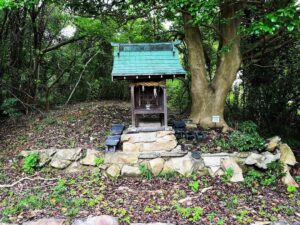
勝岡の登山口
勝岡丘陵の尾根(分岐点)
勝岡のMAP