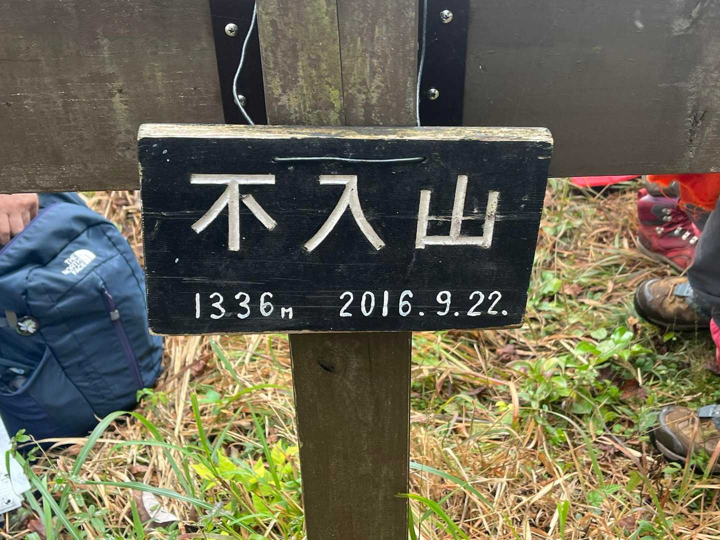
不入山 四万十川源流の地 秋は笹とコウヤマキの葉の道(高知県高岡郡津野町)標高1,336.2m
以前、鳥形山に行った際に、国道439号線の矢筈トンネルの手前に、不入山の案内がありました。
登りに行きたいと思いながら、あれから、なかなかタイミングが合わず。
松山ハイキングクラブの11月月例が不入山!
ワクワクしながら、登ってきました。
不入山は、高知県(標高1336m)の他にも、徳島県(標高1653m)にもあるとのこと。
高知県の不入山は、江戸時代に土佐藩の御留山であったとのこと。
そのため、不入山と名がついたのではないかと言われているそうです。
入ってはいけない山に入る楽しみ(笑)
もう一つ、不入山は四万十川の源流の地としても知られています。
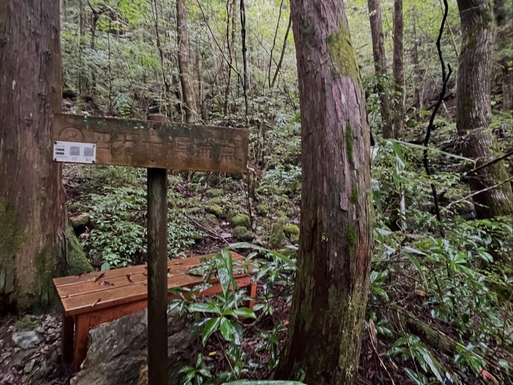
今回、源流点登山口から登山スタートです。
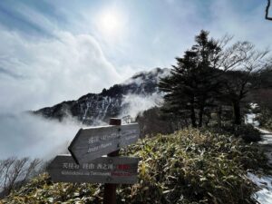
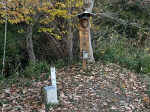
登山口には立派な四万十川源流の碑があります。
本日は雨上がりの天候。
まずは苔が美しい木々の間を登っていきます。
しばらく登ると、四万十源流点に到着です。
雨上がりということもあり、小さいながら、力強い水の流れでした。
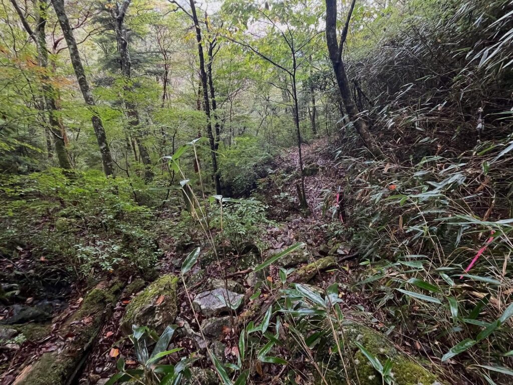
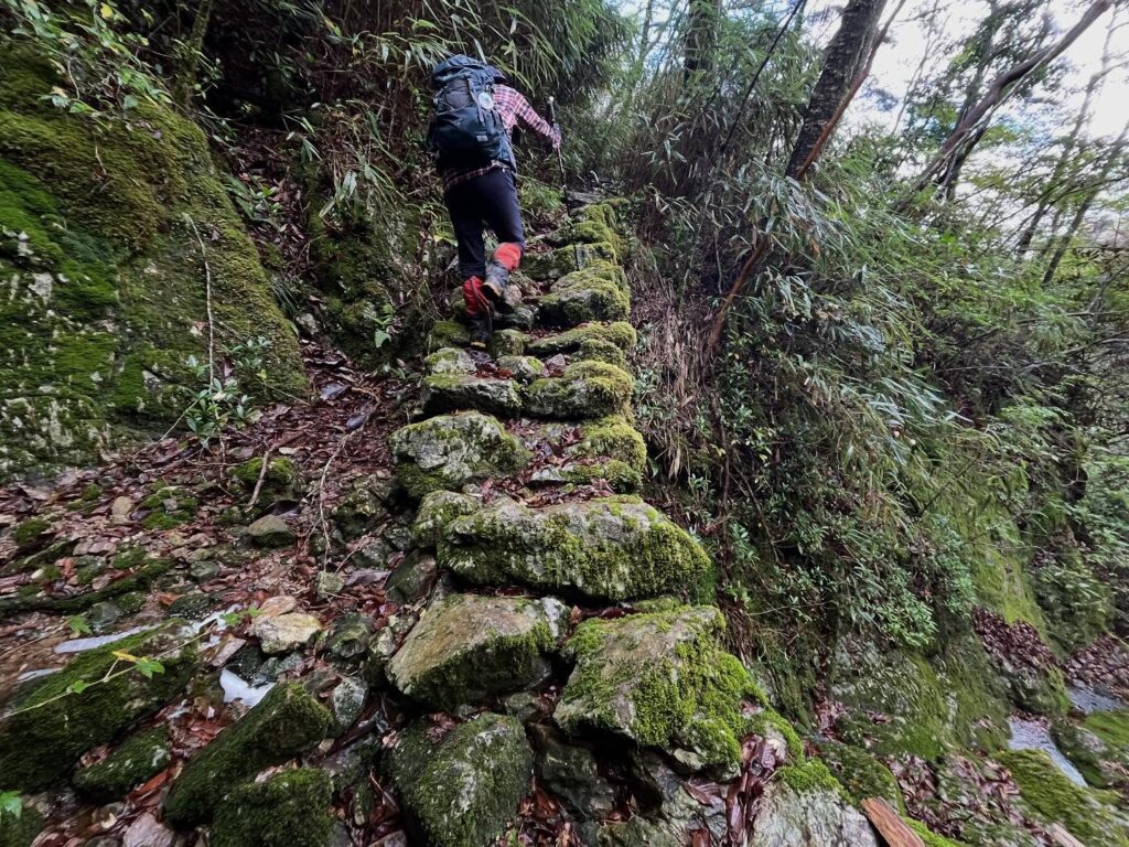
さて、ここから本格的に登山のスタートです。
急登が続きますが、気の根と岩で階段状になっており、ずっと階段を登っているような感じです。
これ、下りで滑りそう…
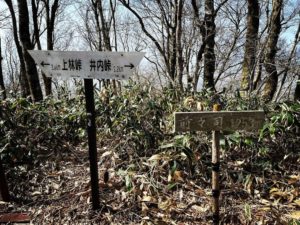
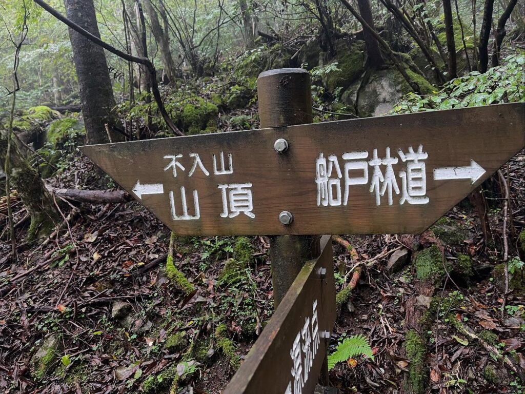
しばらく歩くと分岐点に。
どちらも山頂に通じていますが、本日は、登りは左回り、帰りは右回りのコースです。
北側の左回りにの道に入っていきます。
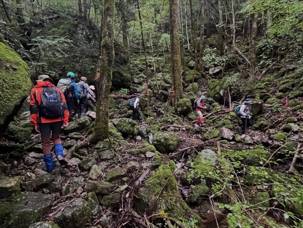
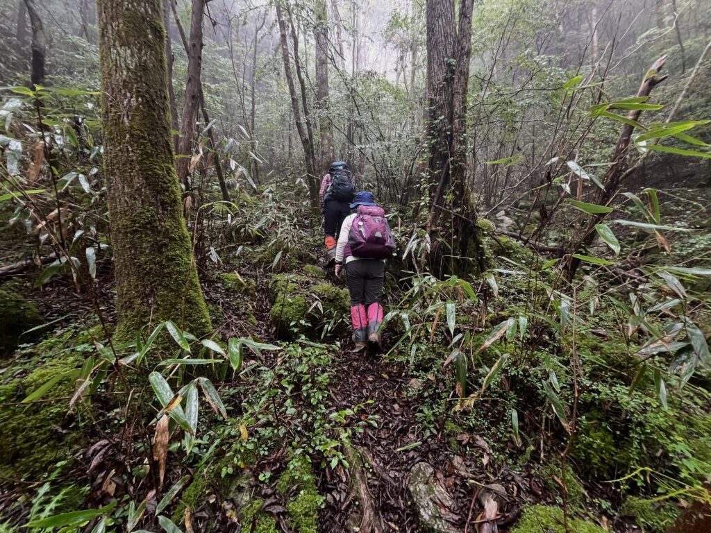
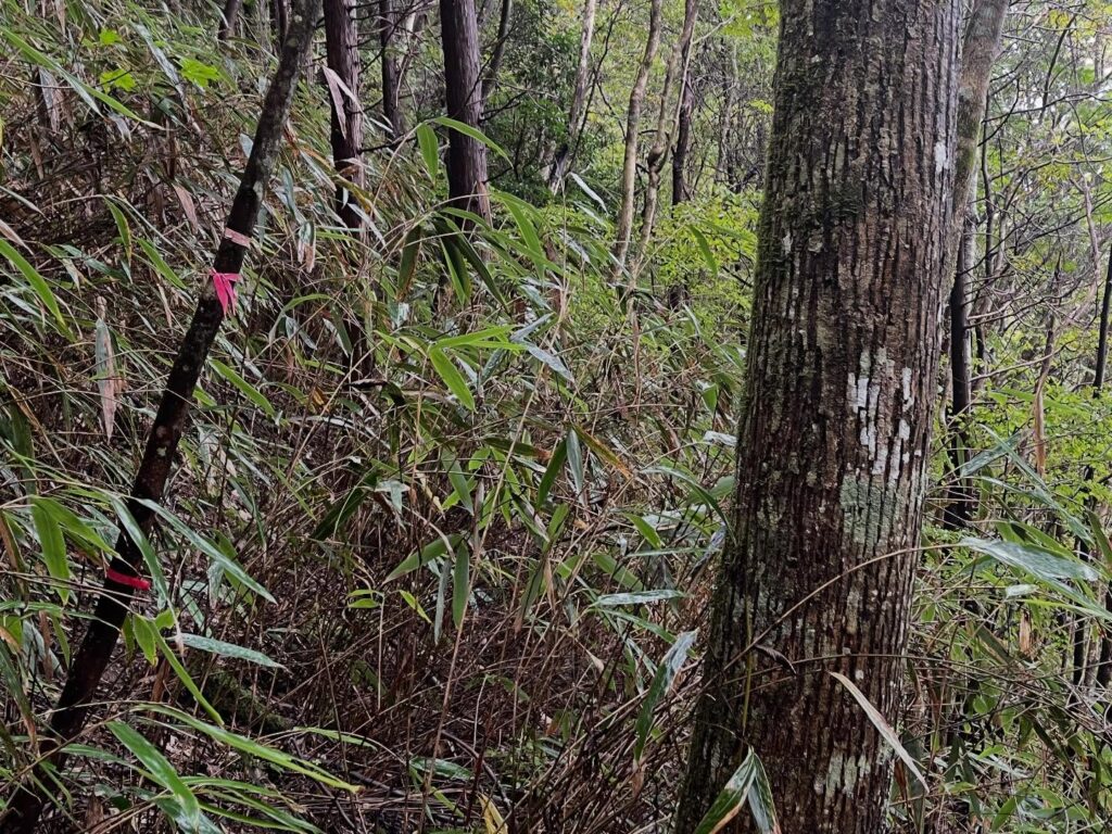
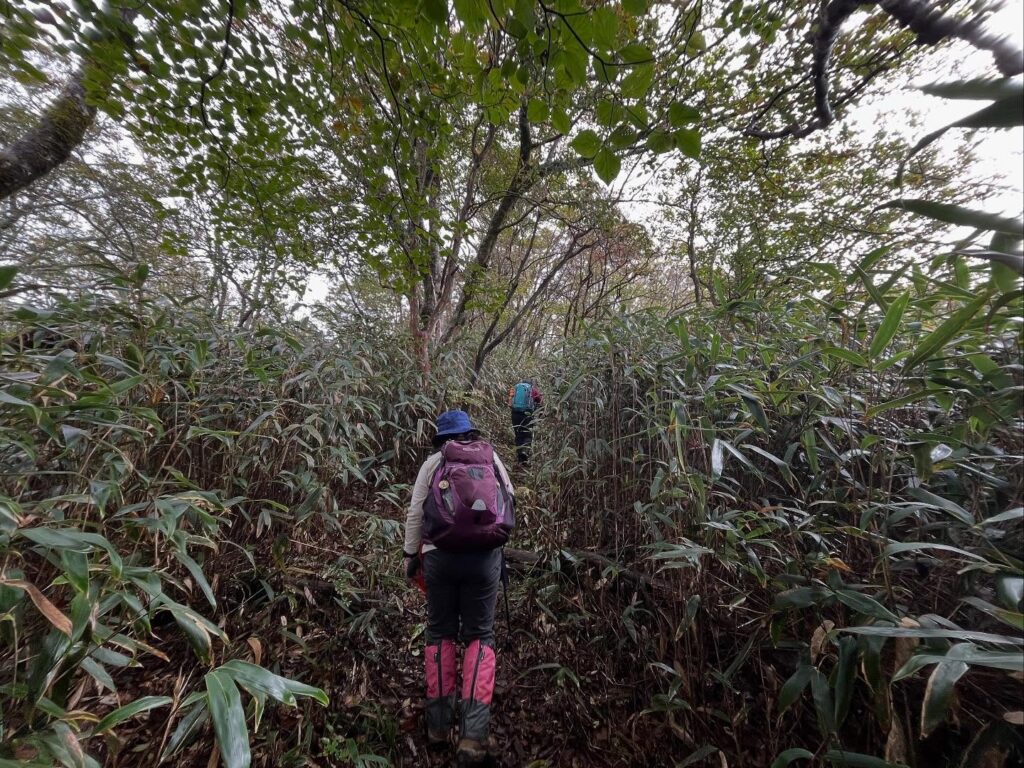
ここからが笹との戦いです。
濡れた笹が道を塞ぎ、笹を払いながら進んでいきます。
あっという間にびしょぬれです(汗)
途中からもうアトラクションのようで楽しくなってきました。
さらにこの道ですが、なんと下りが続きます。
地味に下り続けていたと思うと、本格的な下りになったり。
登っているはずが、標高を下げ続ける不思議な状況です。
そして、笹との戦いが続きます。
ようやく下りが終わると分岐点に。
右側が槙尾根コース、左側が幽谷コース。
どちらの道に進んでも後ほど合流します。
今回は槙尾根コースの道を進みます。
ここからは歩きやすいコース。
槙尾根コースというだけあって、コウヤマキ(高野槇)の木々の下を歩いていきます。
コウヤマキは、高野山の霊木で、それを持ってきているとのことでした。
このコウヤマキの葉が地面に積もっているのですが、不思議と滑ることなく歩きやすいのですよね。
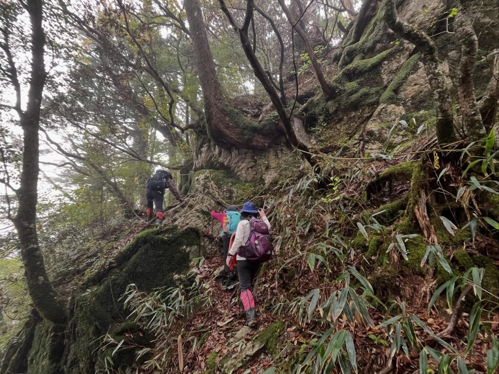
巨大な岩と木々の根が融合したような場所も。
ここをトラバースせずに、登っていくルートは面白かったです。
道が合流したあとは一本道です。
少し危険な場所もありますが、標高差の少ない道が続きます。
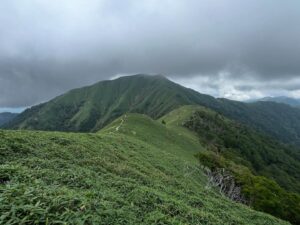
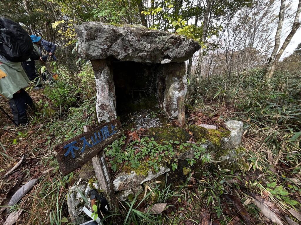
30分ほど歩くと不入山山頂に到着です!
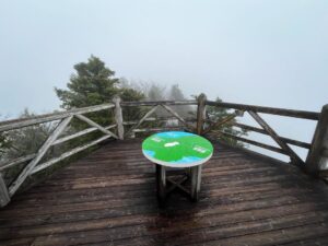
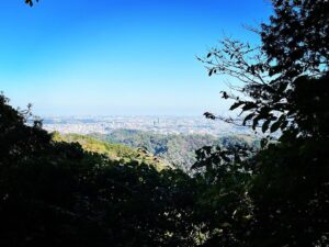
雨は降らなかったのですが、山頂は雲の中。
残念ながら眺望を楽しむことはできませんでした。
天気がよければ、鳥形山とか風車とか天狗高原とか見えるそうなので、次回のお楽しみですね。
帰りは右回りコースで。
最初は急勾配でしたが、その後はとても歩きやすい道でした。
後半、疲れたのか、調子に乗ったのか、木の根っこで1回滑って転倒し、岩で1回滑って転倒。
下りは技術と教えていただきましたが、修練不足が思いっきり出てしまった下りでした。反省。
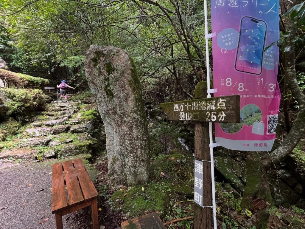
ここから四万十源流点まで25分

立派です!

さて、ここから不入山の登山がスタート!
登山道は枝や岩で階段のような感じです
(下りで滑ってしまうので要注意)
ずっと続きます
なぜかどんどん下っていきます
なかなかの急斜面もあり
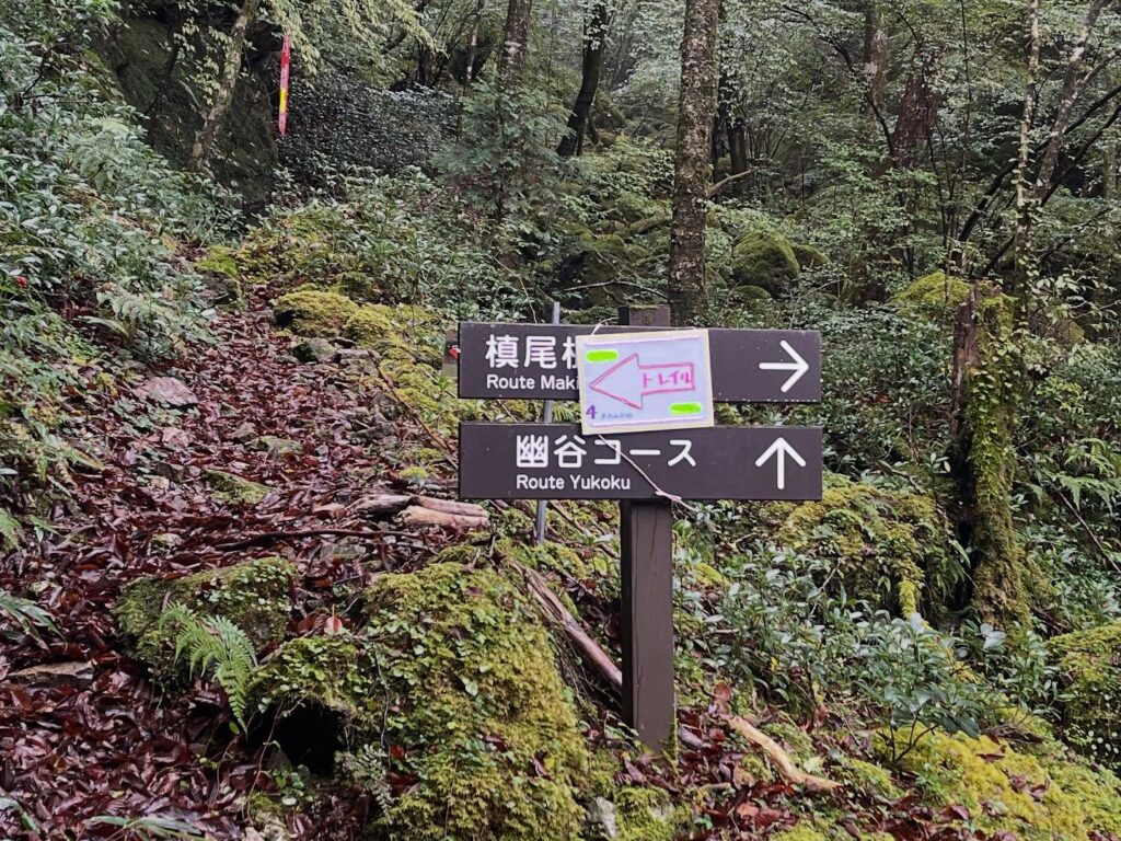
私たちは幽谷コースへ
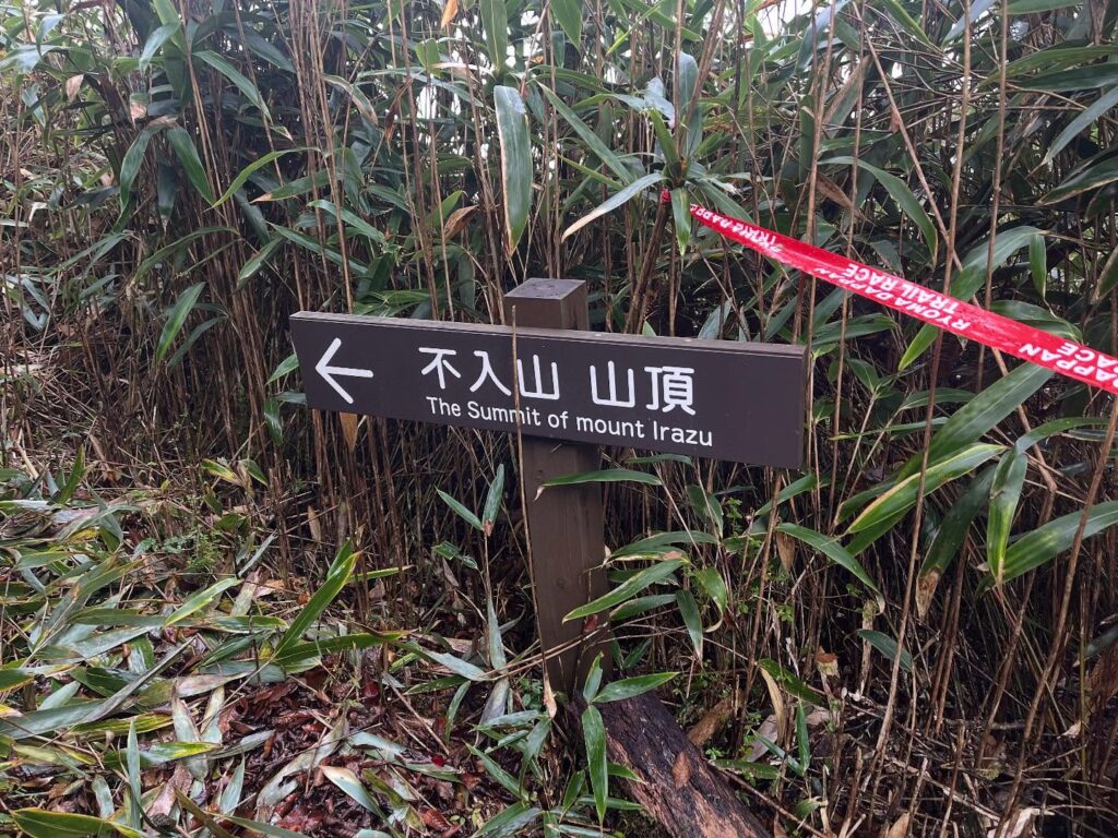
慎尾根コースの方は2025年10月19日に開催された
第31回 四万十川ウルトラマラソンのコースに使われたそうです
全長100kmのコースとかもう意味不明…
足元注意ですね
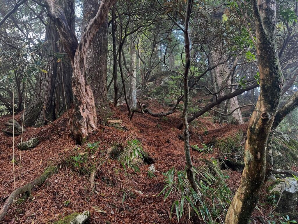
コウヤマキの葉が敷き詰められています
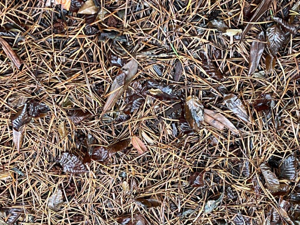
足元がしっかりグリップされて快適でした
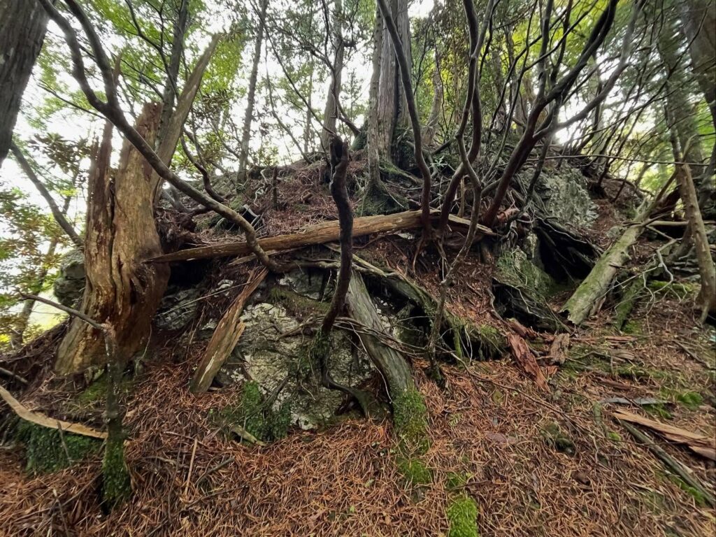
かなりの巨岩&木々の根っこです
ここをトラバースせずに登っていくのですよね
木の根は滑るので要注意
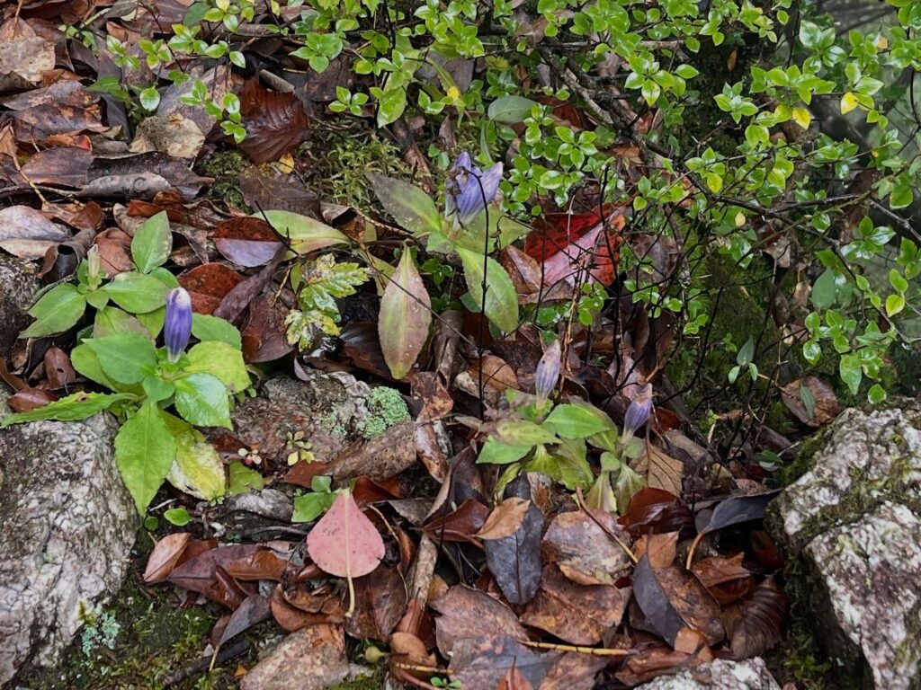
リンドウを見つけました
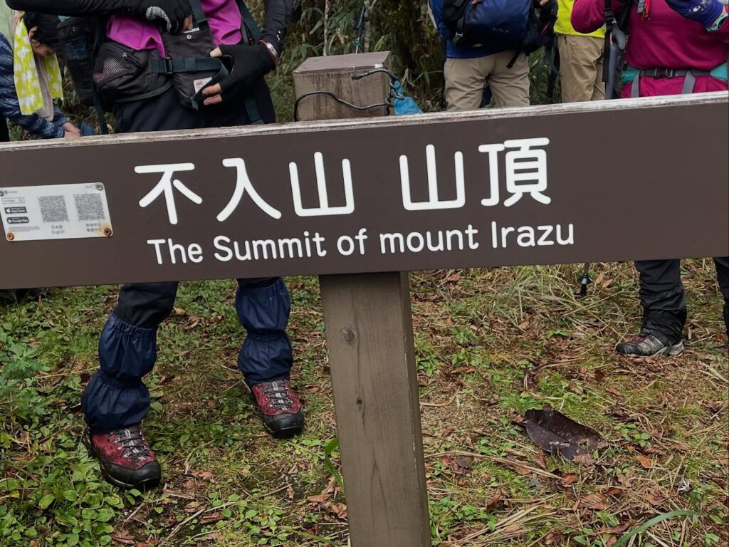
今見ると、QRコードが張られていますね
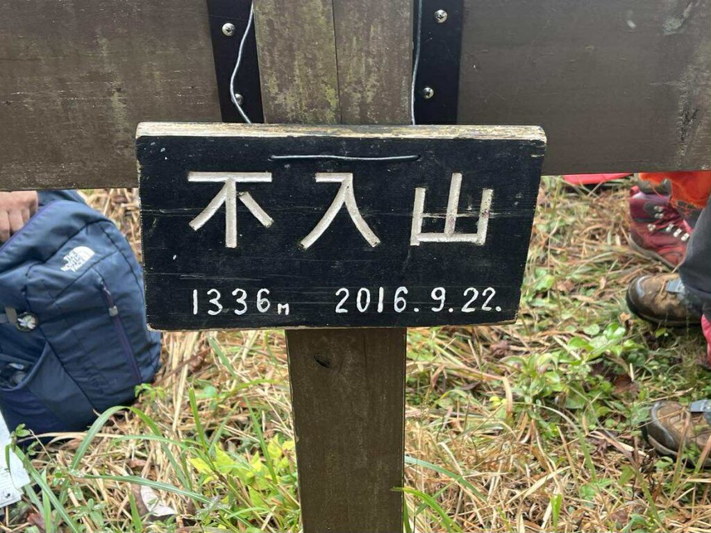
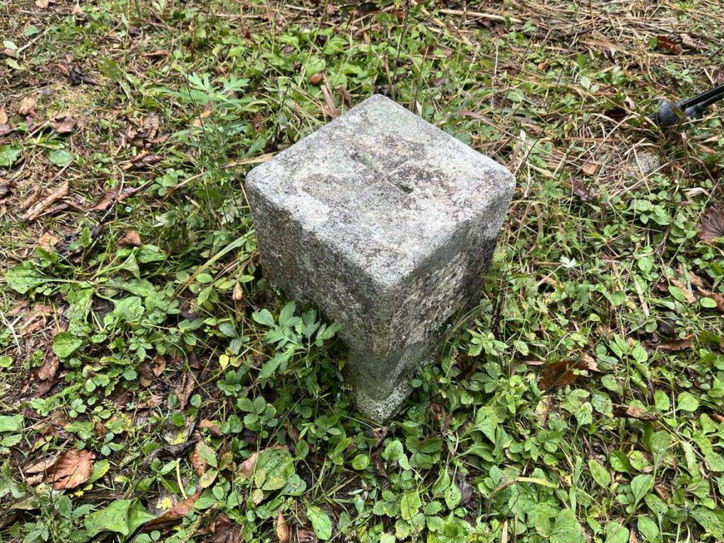
四国で5座選定の一等三角点百名山
(剣山、笹ヶ峰、二ノ森、工石山、不入山)
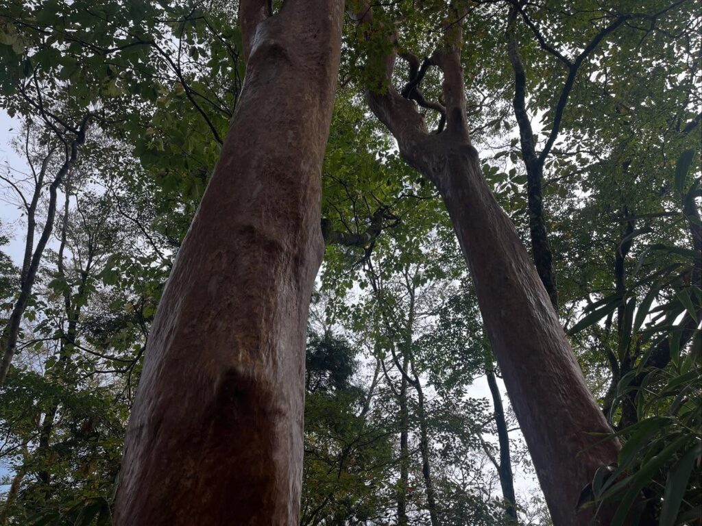
誰かが「ヒメシャラの門」と書かれていたのですが
なるほど、そんな感じでした
#不入山
#いらずやま
#標高1336m
#四万十川源流
#御留山
#三角点
#一等三角点百名山
#源流の碑
#四万十川源流の碑
#源流点登山口
#愛媛の小山登り
#小山登り
#高知県
#高岡郡
#津野町
#ヒメシャラの門
#リンドウ
#松山ハイキングクラブ
#MHC
#コウヤマキ
#高野槇
Previously, when I visited Mt.Torigata, I saw a sign for Irazuyama just before the Yahazu Tunnel on National Route 439.
I’d been wanting to hike it, but the timing never worked out since then.
The Matsuyama Hiking Club’s November monthly hike was to Irazuyama!
I climbed it with excitement.
Apparently, there’s a Irazu Mountain in Tokushima Prefecture (1,653m) as well as one in Kochi Prefecture (1,336m).
The Kochi Irazu Mountain was apparently a restricted mountain of the Tosa Domain during the Edo period.
That’s likely why it was named Irazuyama.
The fun of climbing a mountain you’re not supposed to enter.
Irazuyama is also known as the source of the Shimanto River.
This time, we started our hike from the source trailhead.
At the trailhead stands a magnificent monument marking the Shimanto River’s source.
Today’s weather was post-rain.
We began climbing through trees with beautiful moss.
After climbing for a while, we reached the Shimanto River source point.
Given the recent rain, the flow was small but powerful.
Now, the real climb begins here.
The steep ascent continues, but roots and rocks form stair-like steps, making it feel like climbing stairs the whole way.
This is going to be slippery on the way down…
After walking a while, we reached a fork.
Both paths lead to the summit, but today’s plan was to ascend counterclockwise and descend clockwise.
We took the northern, counterclockwise path.
From here, it was a battle with the bamboo grass.
Wet bamboo grass blocked the path, forcing us to push through it as we advanced.
Before we knew it, we were soaked through.
Partway through, it started feeling like an amusement park ride and became fun.
What’s more, this path kept descending.
Just when you thought it was a steady, unremarkable descent, it turned into a proper downhill stretch.
It was a strange situation – we should have been climbing, yet we kept losing elevation.
And the battle with the bamboo grass continued.
Finally, the descent ended at a fork.
The right path was the Maki Ridge Course, the left the Yūkoku Course.
Either path would eventually merge later.
This time, we took the Maki Ridge Course.
From here, the trail became easier to walk.
True to its name, the Maki Ridge Course led us under a canopy of Kōyamaaki (Kōya Japanese cypress) trees.
Koyamaki is a sacred tree of Mount Koya, and we were told these were brought here.
The leaves of these Koyamaki trees cover the ground, yet strangely, it’s surprisingly easy to walk on without slipping.
There are also places where huge rocks and tree roots seem fused together.
The route that climbs up without traversing this area was interesting.
After the paths merged, it became a single trail.
There were a few slightly dangerous spots, but the path continued with little elevation gain.
After about 30 minutes of walking, we reached the summit of Irazuyama!
It didn’t rain, but the summit was shrouded in clouds.
Unfortunately, we couldn’t enjoy the view.
I hear that on a clear day, you can see Mount Torigata, windmills, and Tengu Highlands, so that’s something to look forward to next time.
We took the clockwise route back.
It started with a steep slope, but after that, the path was very easy to walk on.
Later on, whether I was tired or overconfident, I slipped and fell once on tree roots and once on rocks.
I’d been told descending requires technique, but this descent really showed my lack of practice. I need to reflect on that.
不入山の登山口(源流点登山口)
四万十川源流点のMAP
不入山のMAP
活動データ(YAMAP)
活動データはYAMAPからご覧ください↓