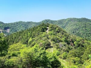
龍王山 大谷山から続く龍王山神 下りは滑ります!(愛媛県四国中央市・香川県観音寺市)標高450.11m
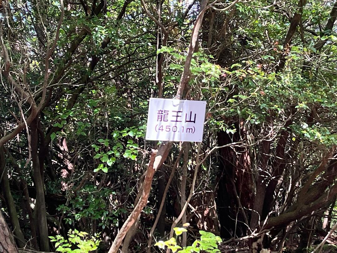
大谷山山頂に「龍王山」の標識がありました。
行ってみようとすると、山頂にいた方から
「途中の道が危ないので気をつけてくださいね」
とアドバイスいただきました。
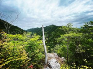
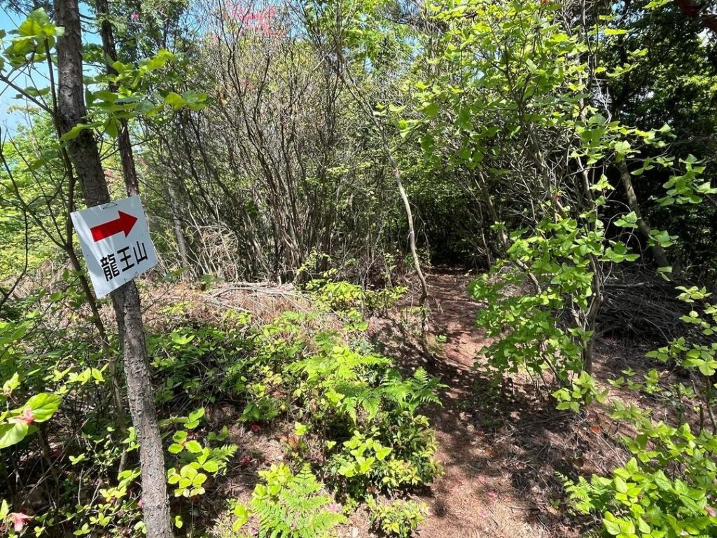
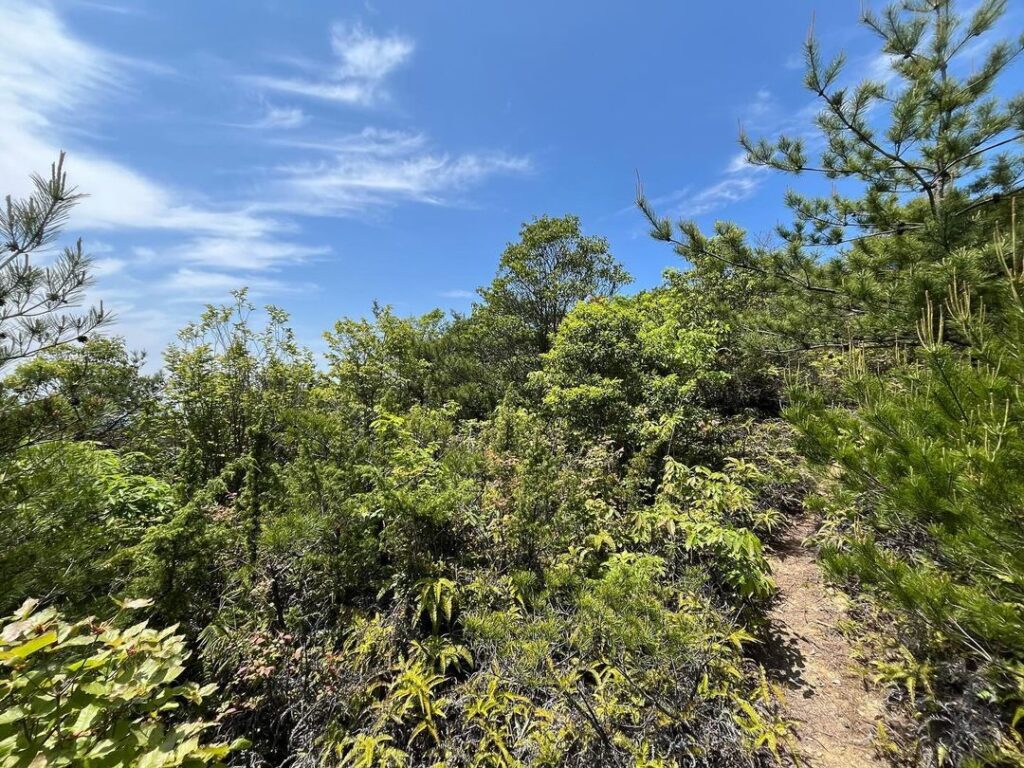
まずは下りからスタートです。
なかなかに急な下りです。
下は粘土質+落ち葉。
「あっ」と思った際に、滑り落ちてしまいました。
しかも2回(笑)
危ないのは、途中ではなく最初でしたね。
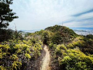
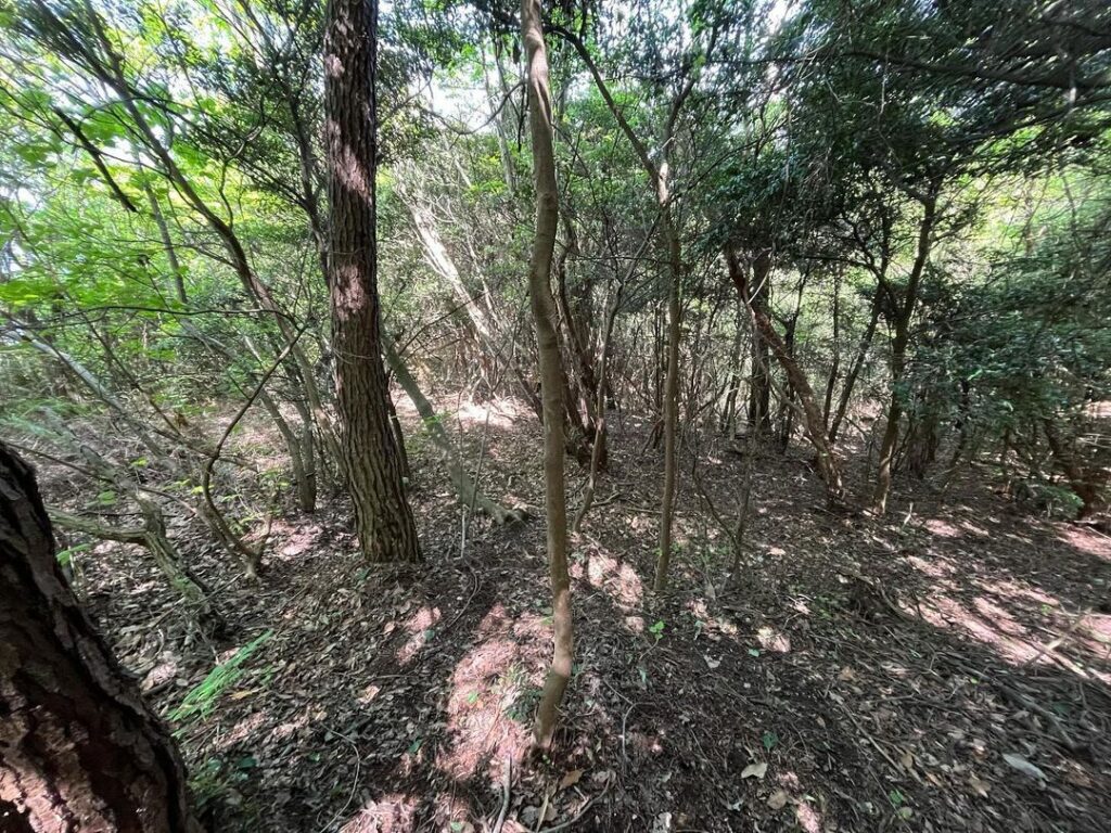
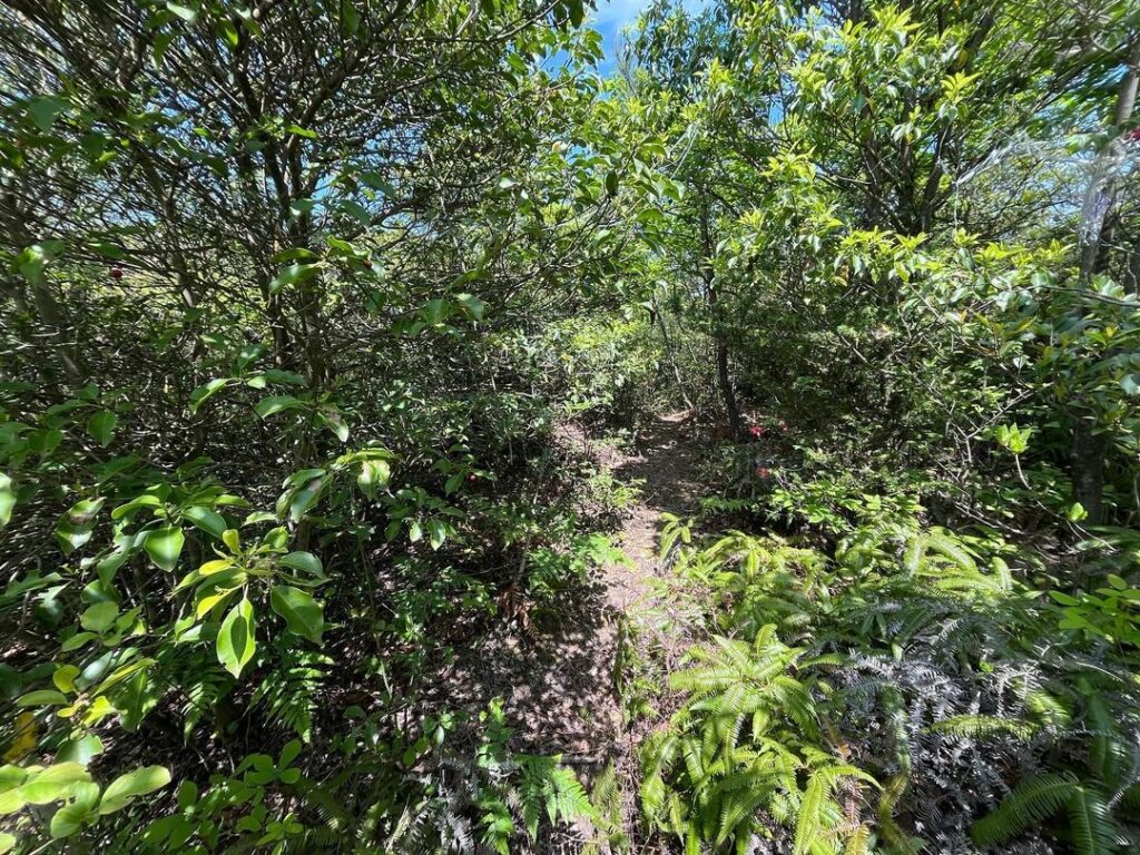
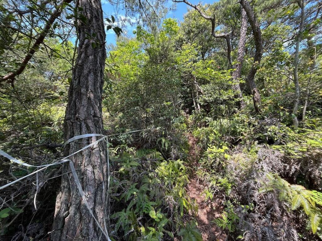
道は細いですが、しっかり踏み跡があります。
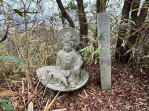
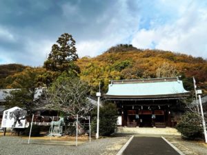
途中のピークいは石の祠らしきものが。
なぜか、ブルーシートの屋根があります。
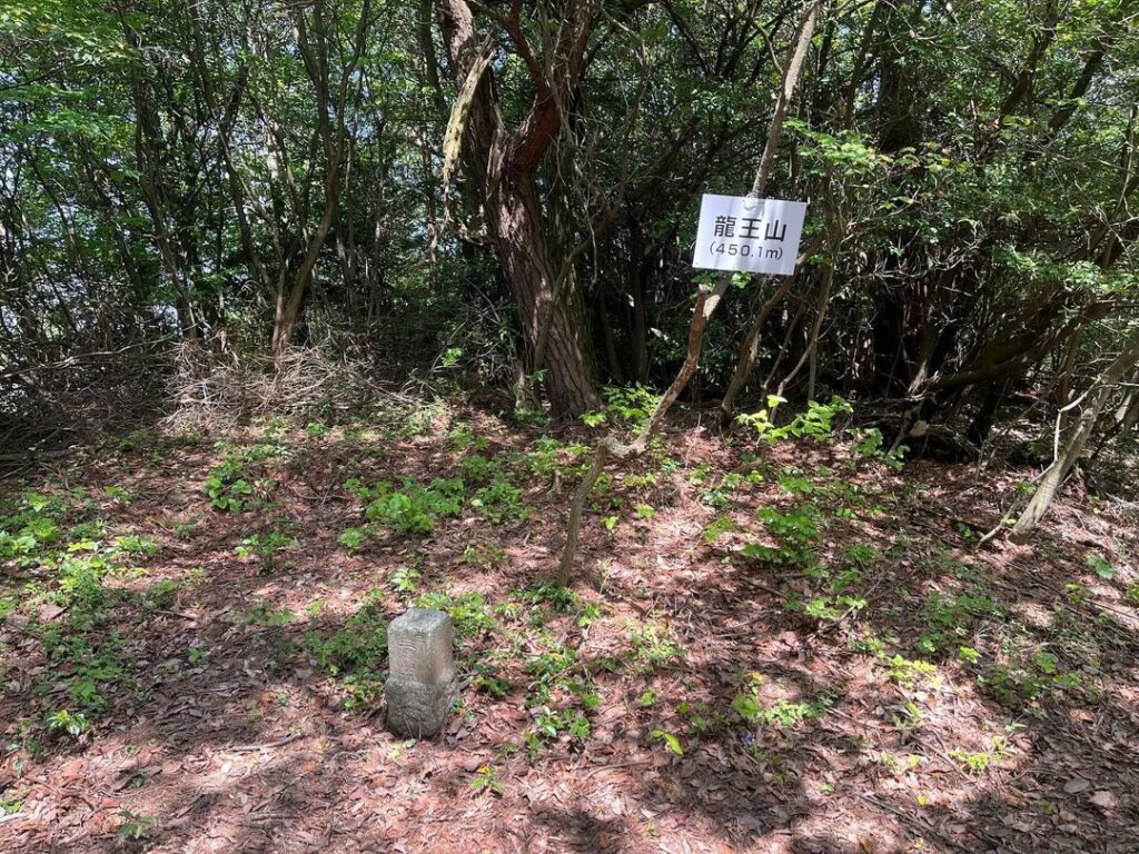
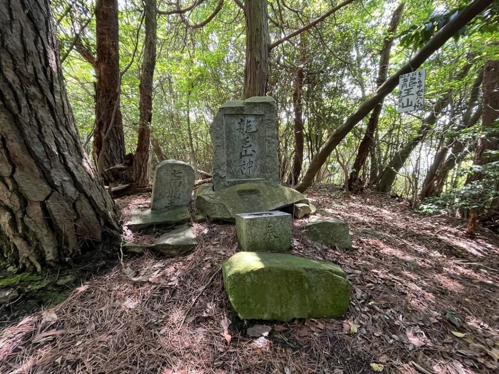
さらに進むと龍王山の山頂に。
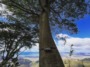
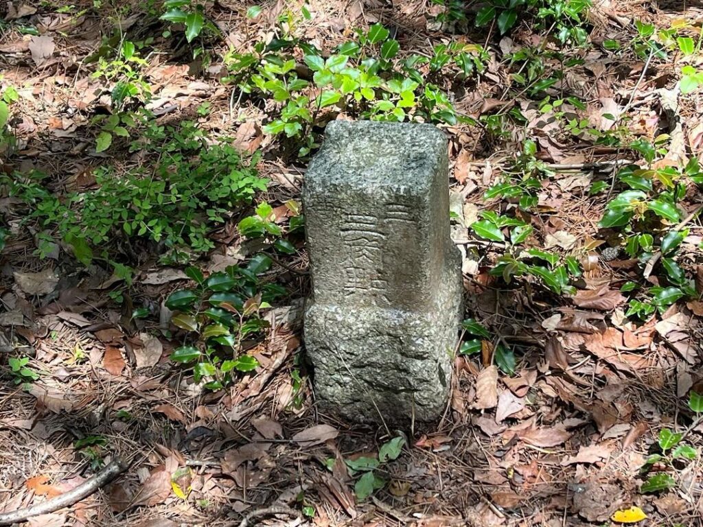
箕浦の三角点があります。
また、龍王山神の祠があります。
調べてみたところ、以前はこの山には名前がなかったようなのですが、龍王山という名前がついたのですね。
山頂からの眺望は残念ながら望めずですが、大谷山に登られたら、ぜひ縦走してみてくださいね。
粘土質の土でめちゃくちゃ滑り、2回も滑ってしまいました(汗)
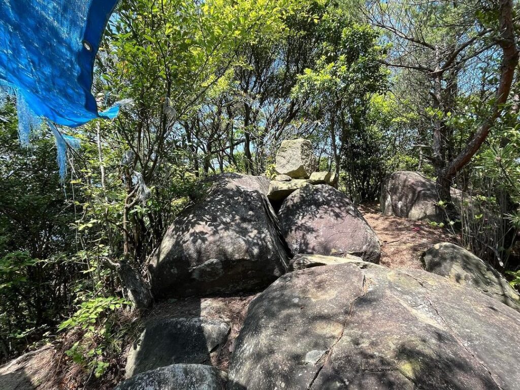
ブルーシートの屋根があるのはなぜでしょう?
#龍王山
#標高450m
#りゅうおうやま
#龍王山神
#七面龍王
#三角点
#箕浦
#みのうら
#愛媛の小山登り
#小山登り
#愛媛県
#四国中央市
#香川県
#観音寺市
#おっぱい山
#YAMAP
At the top of Mt. Otani, there was a sign for “Ryuohzan”
When I tried to go there, a person at the top of the mountain told me
I was advised by a person at the top of the mountain to be careful on the way to the top.
We started from the descent.
We started with the descent.
It is quite a steep descent.
The bottom was clay and fallen leaves.
When I thought, “Oh,” I slipped and fell.
And twice.
The danger was not in the middle of the trail, but at the beginning.
The path is narrow, but there are firm footprints.
On a peak along the way, there was what looked like a stone shrine.
For some reason, there is a blue-sheet roof.
Further on, we reached the summit of Mt.
There is the triangular point of Minoura.
There is also a shrine of the Ryuouzan deity.
I checked and found that this mountain did not have a name before, but it was named Ryuouzan.
Unfortunately, there is no view from the summit, but if you climb Mt. Otani.