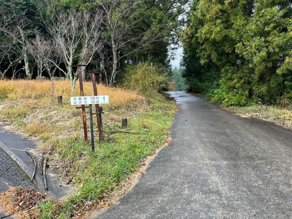
雪の皿ヶ嶺を目指して、まずは上林登山口→水の元→風穴登山口 標高953m(愛媛県東温市)
雪の皿ヶ嶺に行ってきました!
今週から気温が上がるということで、石鎚山頂もかなり雪が溶けてきたので、慌てて行ってきたのですが、結果的に新雪さらさらパウダースノーの貸切り状態でした!
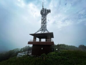
さてさて、私はタイヤチェーンを持っていないため、いつものように上林の鉄塔下に車を停めて、まずは風穴まで1時間20分の登りからスタートです。
(雪道は走らないと決めているのですが、そろそろタイヤチェーンが欲しくなってきましたね)
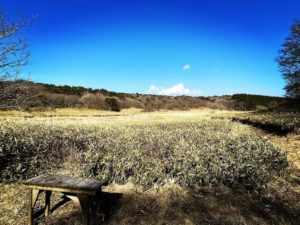
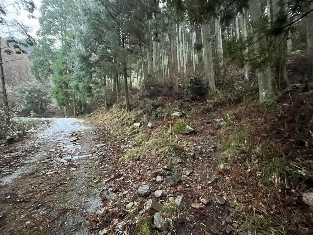
登り口は雪などまったくなく、小雨の中でスタート。
この登山道は、車道のくねくね道をまっすぐ直登する道のため、定期的に車道とクロスします。
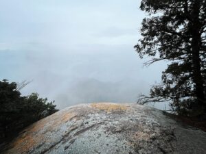
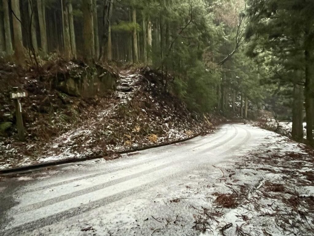
車道に出る度に、雪景色に変わっていくのが、なんともいえない醍醐味です。
雨も雪に変わっています。
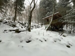
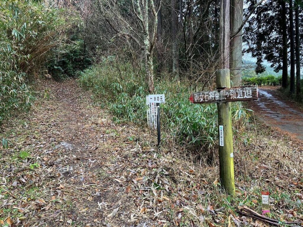
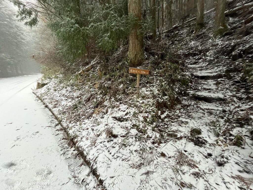
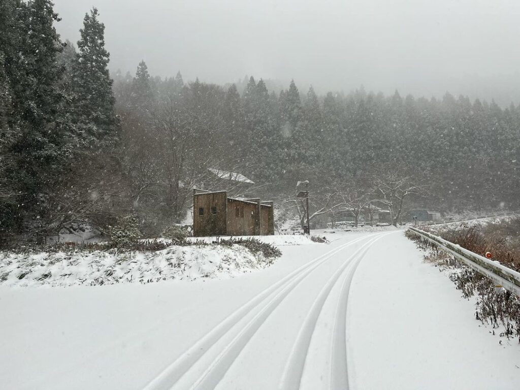
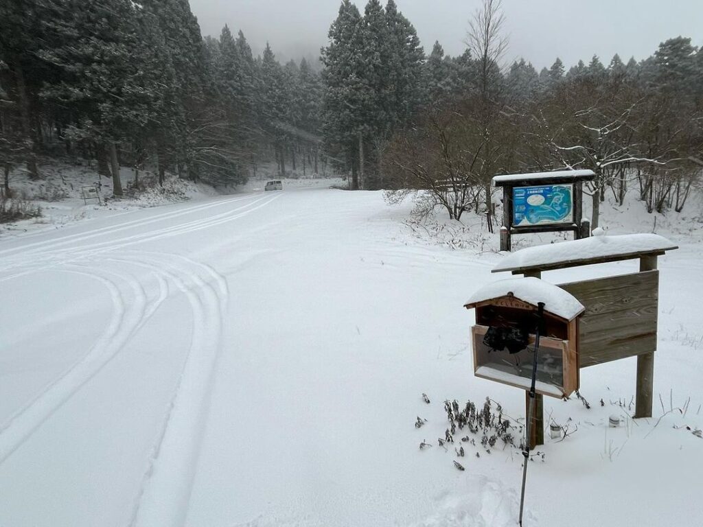
水の元は真っ白な足跡ひとつもない雪景色。
車の轍が1台分だけくっきりと。
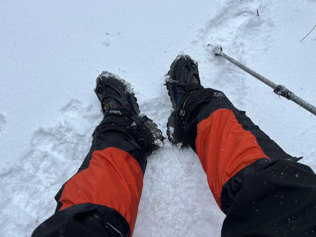
ここでチェーンスパイクを装着します。
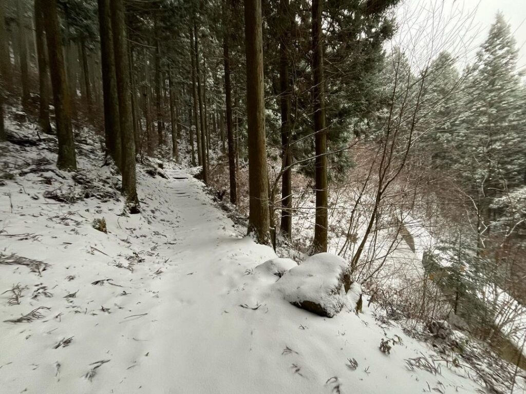
再び山の中に入り、ふかふかの雪道を楽しみます。
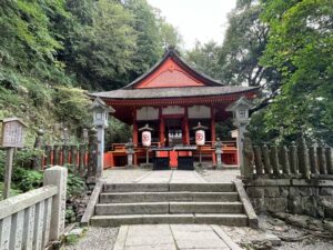
再度、車道に出たらそのまま上林森林公園の駐車場へ。
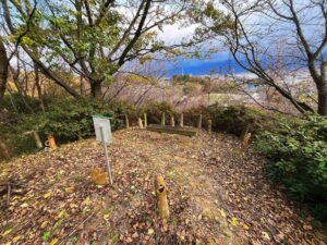
トイレ休憩をして風穴の皿ヶ嶺登山口へ。
さて、ようやくスタートです!
足跡はひとつもなく、一番乗りの気持ち良さがありました

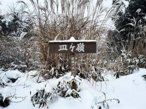
#皿ヶ嶺
#さらがみね
#標高1270m
#上林
#風穴
#風穴登山口
#標高953m
#愛媛の小山登り
#小山登り
#愛媛県
#上浮穴郡
#久万高原町
#東温市
#雪山
#雪山登山
#チェーンスパイク
#雪山最高
#上林森林公園
I went to the snowy Saragamine!
I was in a hurry to go there because the temperature is supposed to rise this week and the snow on top of Mt. Ishizuchi has melted considerably, but as a result, I was able to rent out the area for fresh snow and smooth powder snow!
Well, as I did not have tire chains, I parked my car under the steel tower in Kambayashi as usual and started with the 1 hour and 20 minute climb up to the windhole.
(I have decided not to drive on snow-covered roads, but it was time to get tire chains.)
There was no snow at all at the start of the climb, and we started in a light rain.
The trail crosses the roadway periodically as it goes straight up the winding road.
The best part is that every time you get to the roadway, it changes to a snowy landscape.
Even the rain is changing to snow.
The source of the water is a snowy landscape without a single white footprint.
Only one car rut is clearly visible.
Here we put on chain spikes.
We enter the mountain again and enjoy the soft snowy road.
Once on the road again, we go straight to the parking lot of the Kamibayashi Forest Park.
Take a restroom break and head for the Saragamine trailhead at the windhole.
Now, at last, we are ready to start!
水の元の登山口
水の元のMAP
風穴のMAP