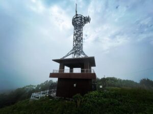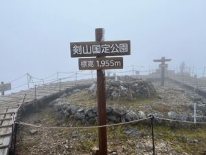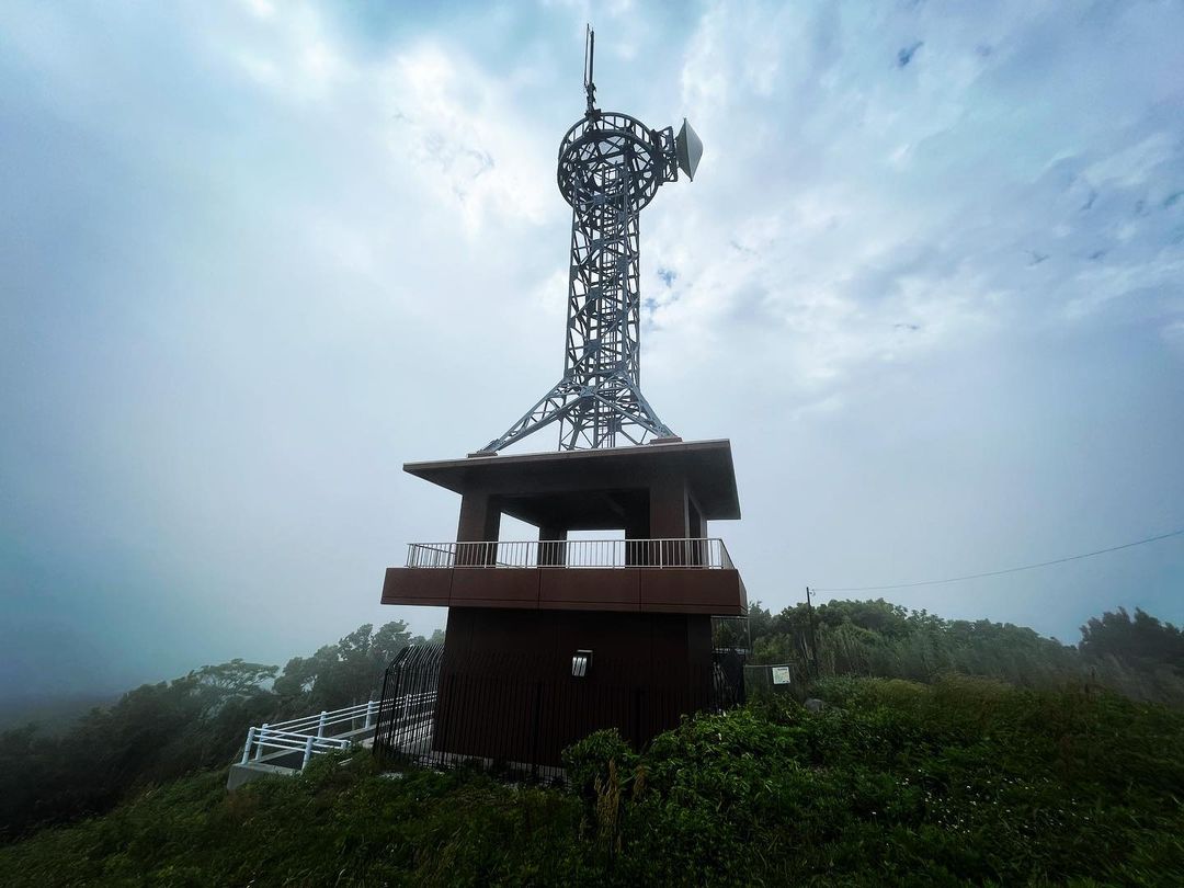
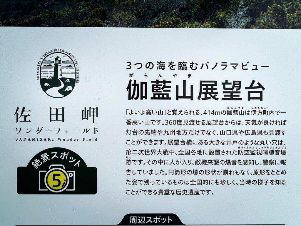
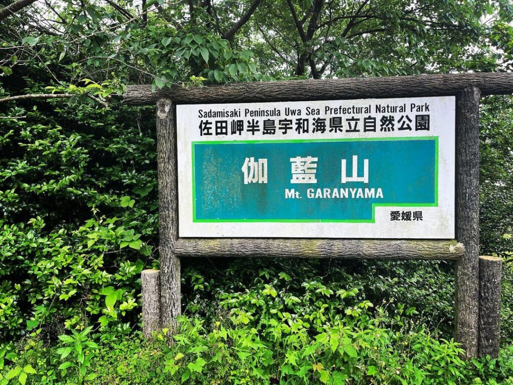
伽藍山展望台 360度パノラマと防空監視哨聴音壕跡(愛媛県西宇和郡伊方町)標高413.6m
伊方町で一番高い山、伽藍山。
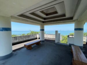
山頂に伽藍山展望台があります。
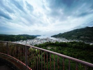
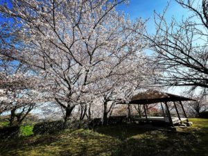
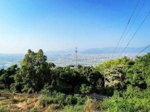
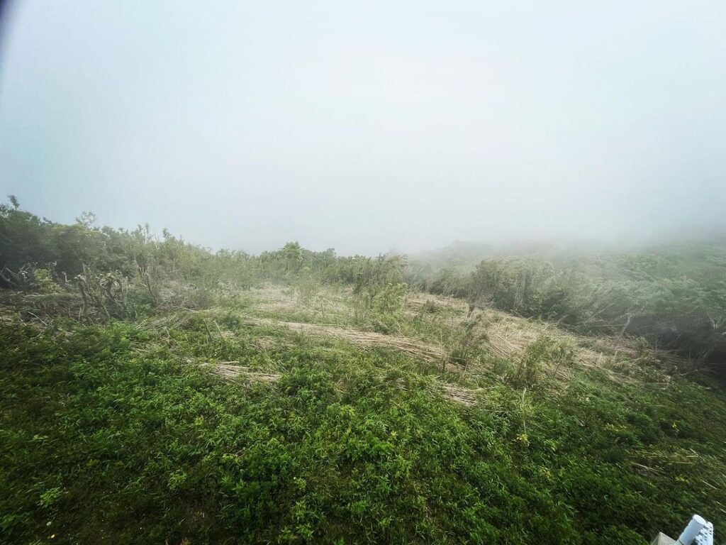
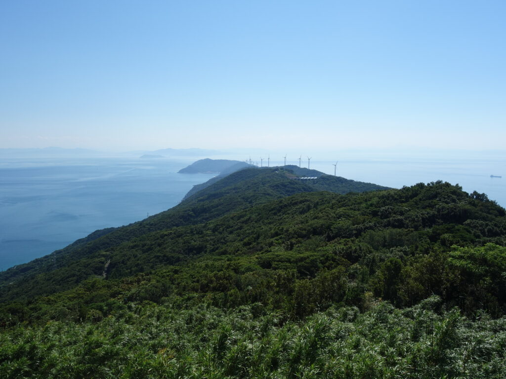
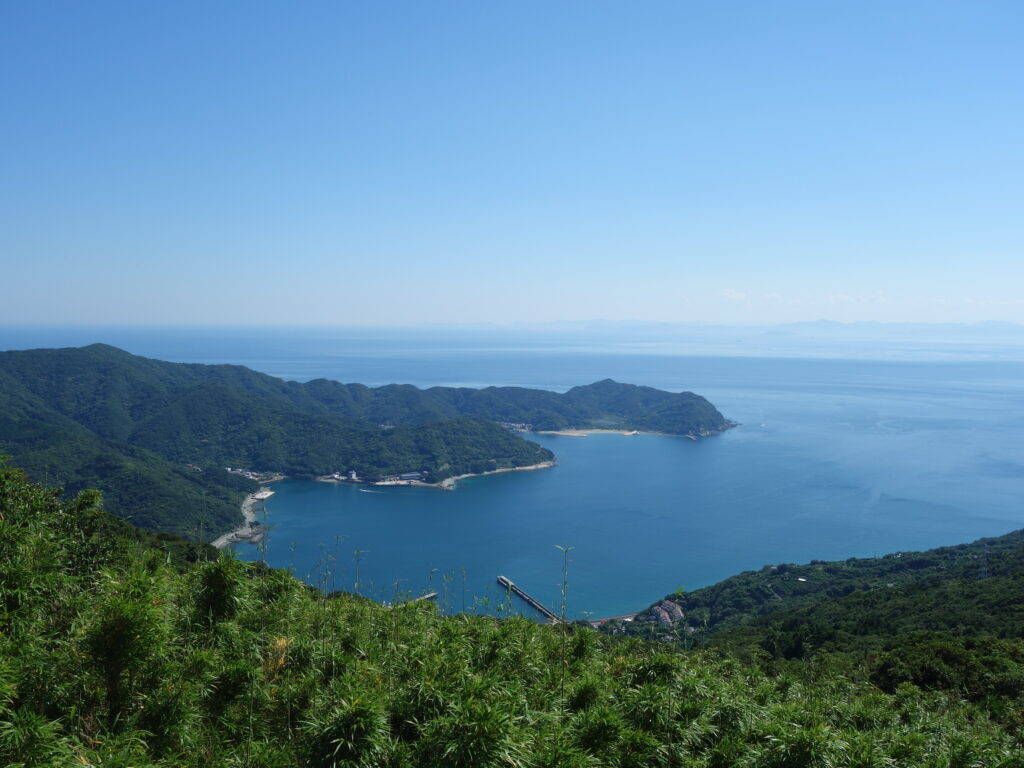
360℃のパノラマの景色なのですが、本日は雲の中(泣)
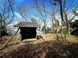
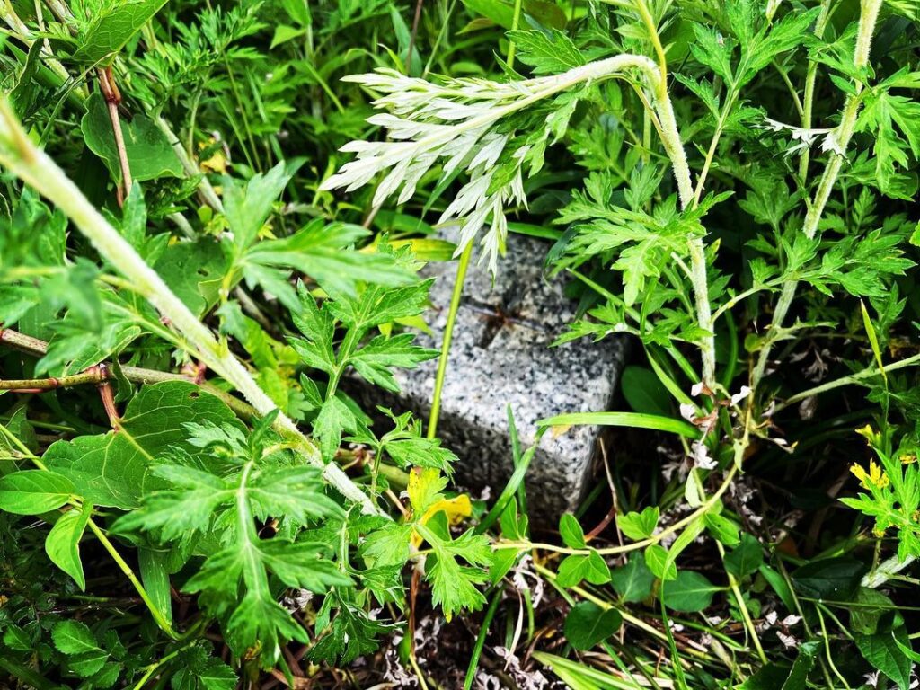
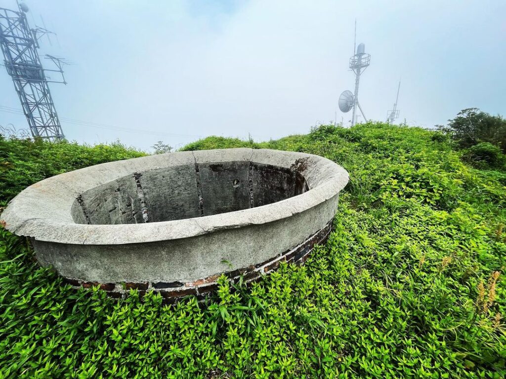
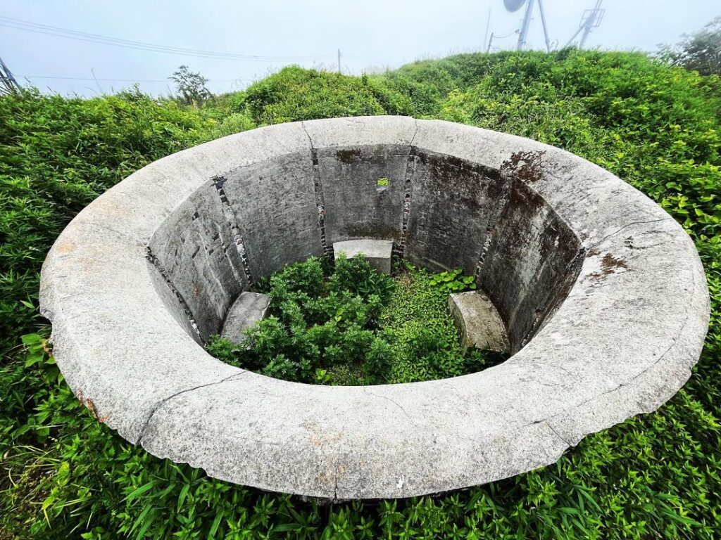
三角点の横には、第二次世界大戦中に設置された、防空監視哨聴音壕の跡があります。
この円筒形の壕に入って、敵機の爆音を感知して方向していたのか・・・と思いに浸れます。
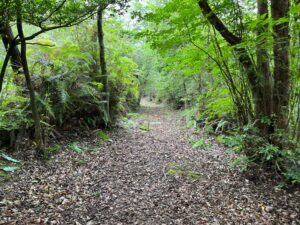
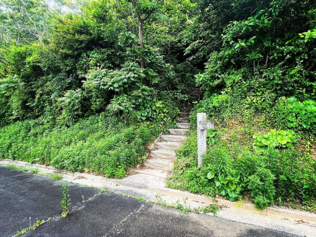
伽藍山展望台は車で直接来れるのですが、下の駐車場から遊歩道の階段で登ることもできます。
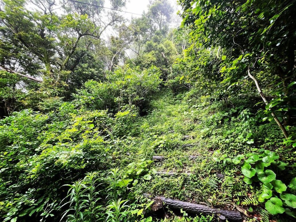
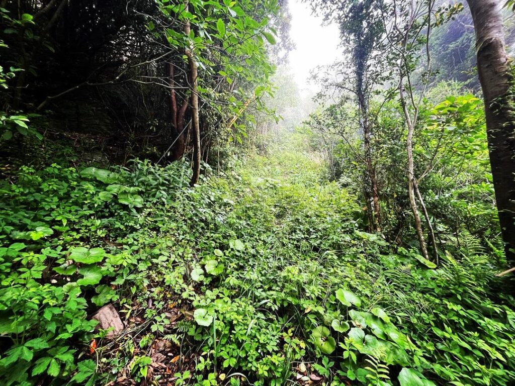
・・・が、毎年、有志の方々が草刈りをされているそうなのですが、本日は薮の中。
自然と化していて、登るのは諦めました。
草を刈っても、すぐに元に戻ってしまうとか。
自然の力って凄いですよね。
#伽藍山展望台
#展望台
#伽藍山
#がらんやま
#標高414m
#三角点
#佐田岬半島
#愛媛の小山登り
#小山登り
#愛媛県
#西宇和郡
#伊方町
#三崎
#伊方町で一番高い山
#防空監視哨聴音壕跡
#防空監視哨
#聴音壕
Mt. Garan is the highest mountain in Ikata Town.
Garanyama Observatory is located at the top of the mountain.
It has a 360°C panoramic view, but today it is in clouds.
A photo of the view from a previous visit is attached.
Next to the triangulation point are the remains of an air defence listening shelter set up during World War II.
You can enter this cylindrical shelter and wonder if they were able to detect and direct the sound of enemy aircraft explosions…
The Garanyama Observatory can be reached directly by car, but you can also climb the stairs of the promenade from the car park below.
The path is mowed every year by volunteers, but today it was in the bush.
It had become so natural that we gave up climbing it.
I heard that even if they cut the grass, it quickly reverts back to its original state.
The power of nature is amazing, isn’t it?
雲で何も見えない伽藍山展望台(動画)