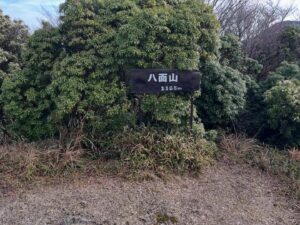
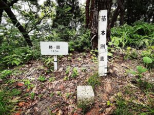
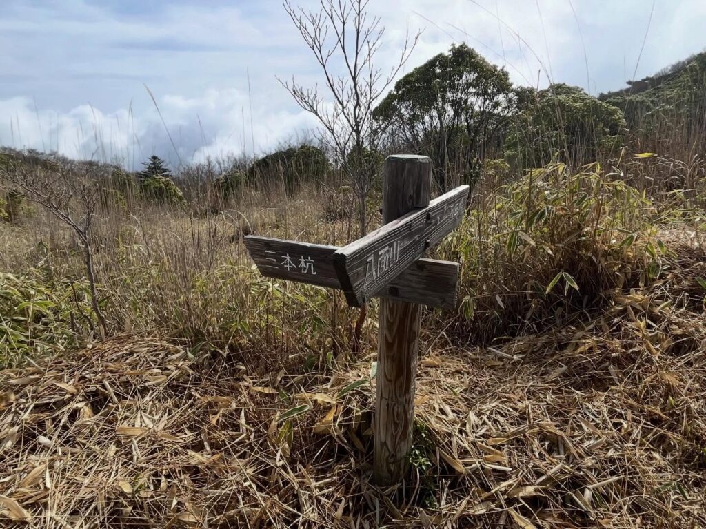
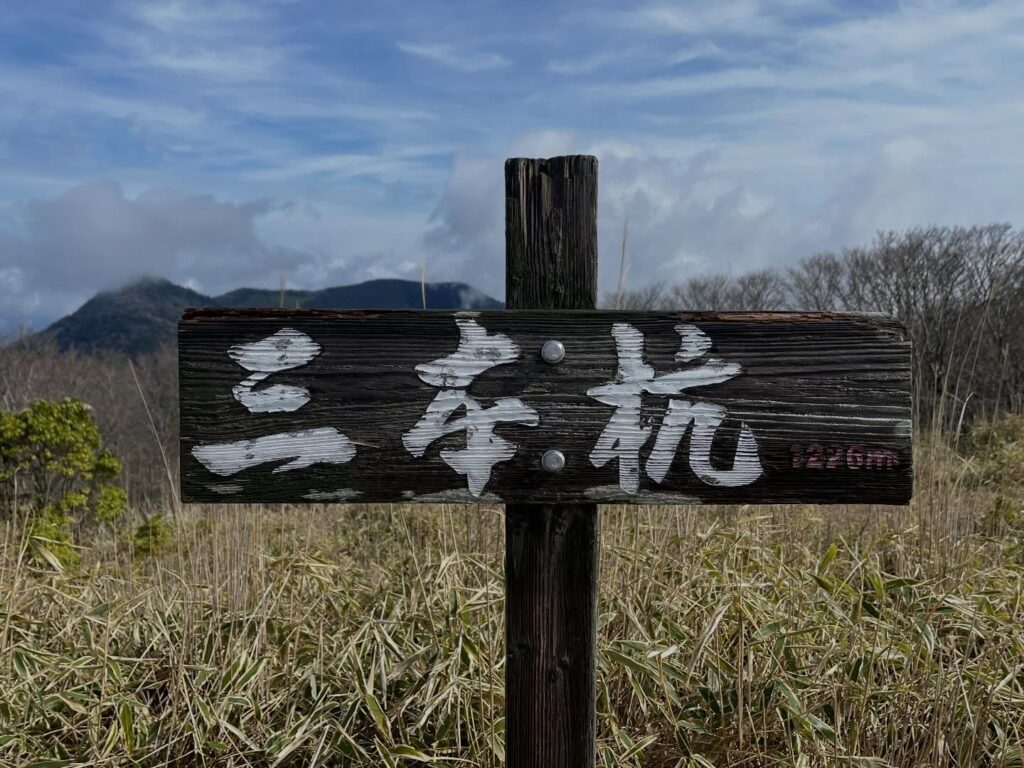
三本杭 3つの藩の境界 美しき笹原と眺望(愛媛県宇和島市・愛媛県北宇和郡松野町・高知県四万十市)標高1225.72m
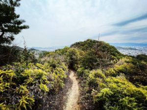
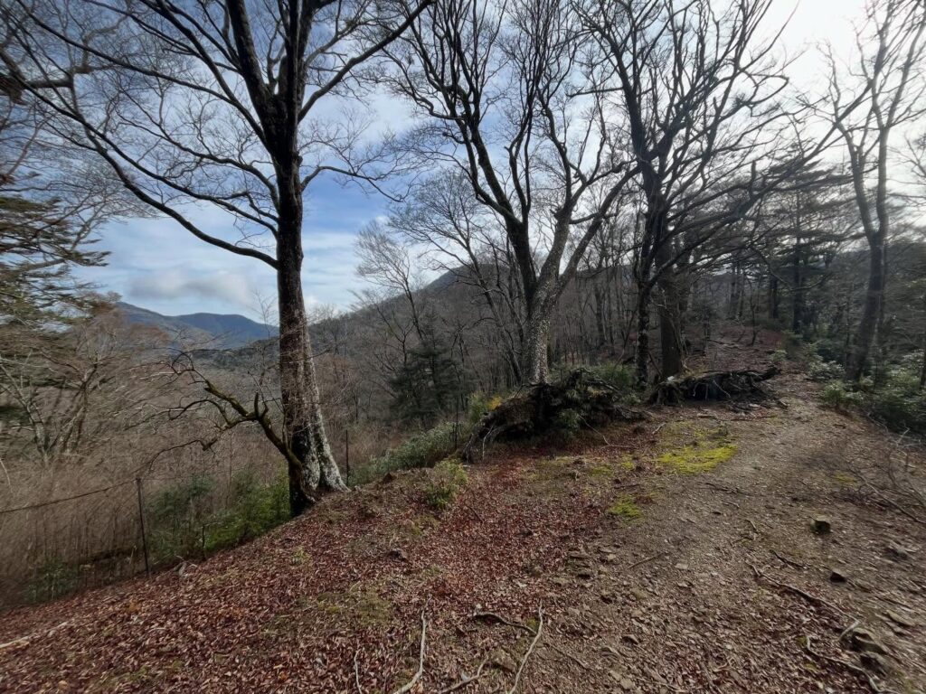
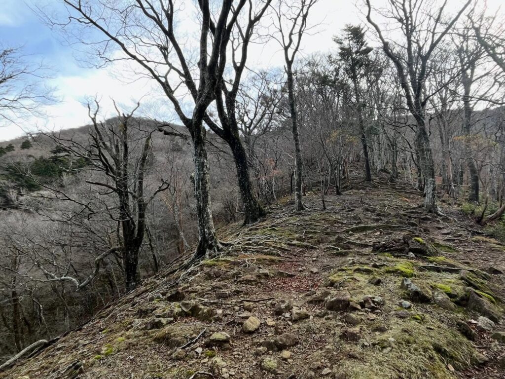
八面山から下り、尾根道をひたすら歩いていきます。
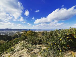
前回歩いた時はお天気が良くなかったのですが、今日は青空が広がり、とても気持ちが良いです。
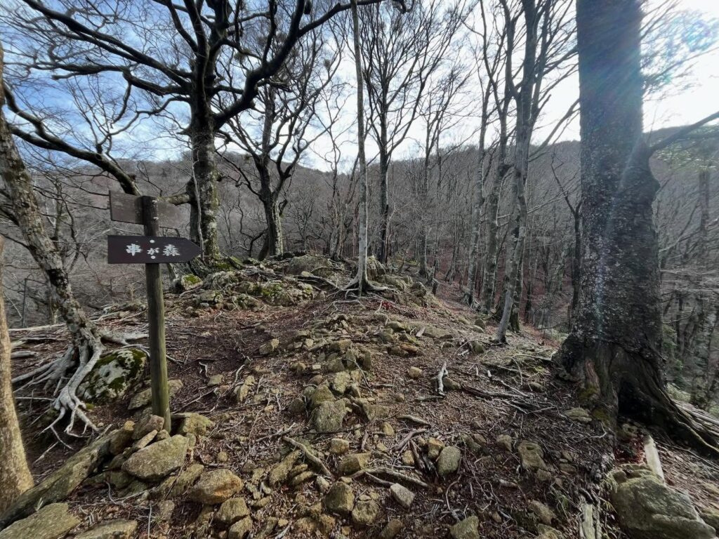
串ヶ森への分岐点から、急登がスタートします。
道があるのですが、あるようなないような道を登っていきます。
急登ですが、ゴールの尾根が見えていますので、ヤル気は漲りますね。
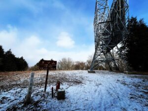
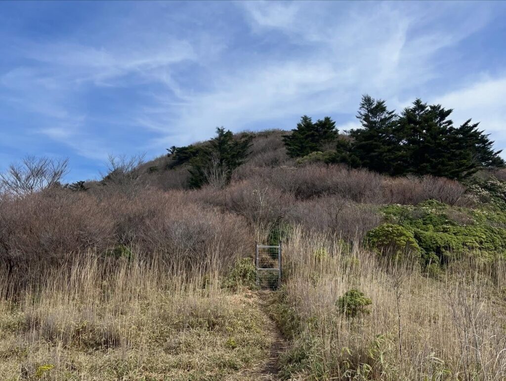
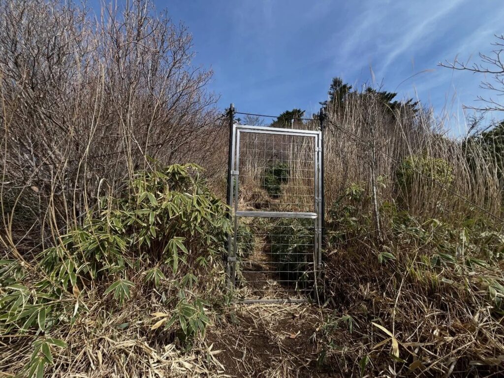
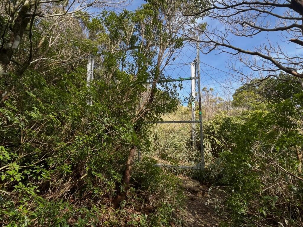
尾根についてしばらく歩くと、なんと格子の門が待っていました。
緑地化植生回復対策事業とのことです。
鹿などに食べられないための施策。
ちょっと環境的には寂しいのですが、仕方がないですね。
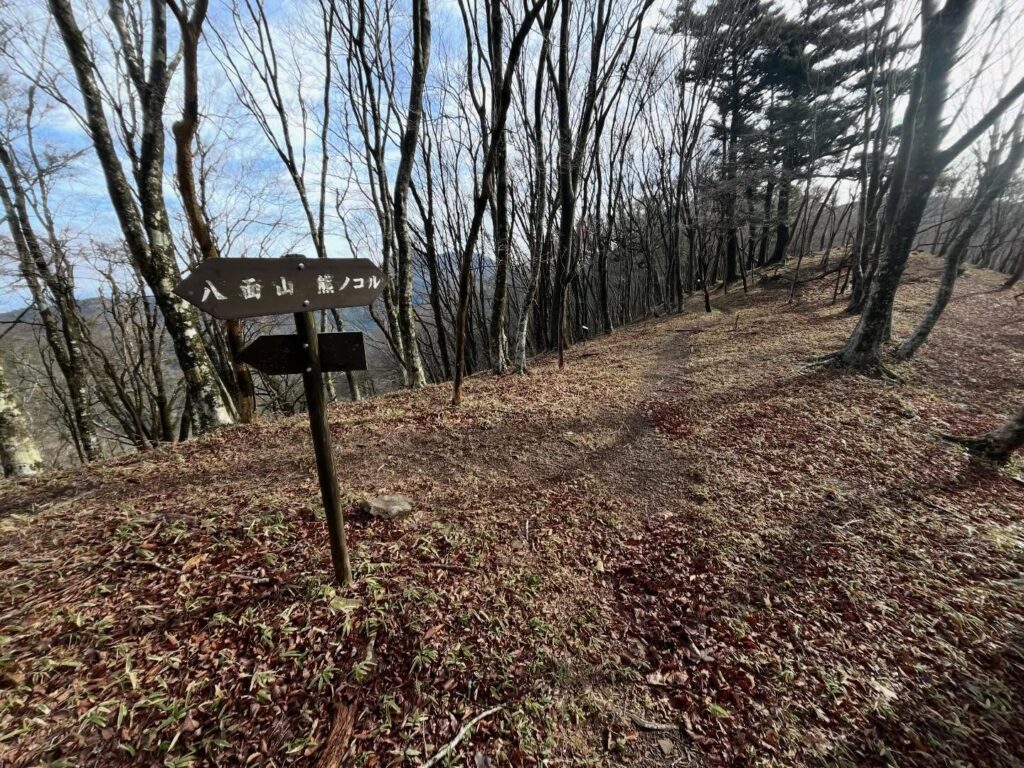
門をくぐって分岐を三本杭方向へ。
すると、再び、格子の第二の門が現れます。
これを抜けて、三本杭に登ります。
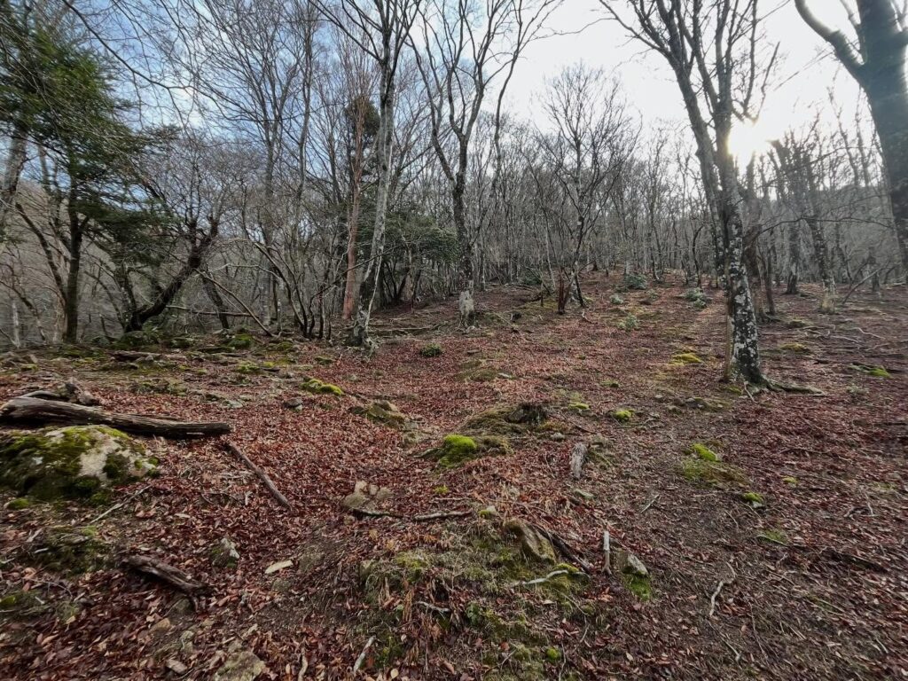
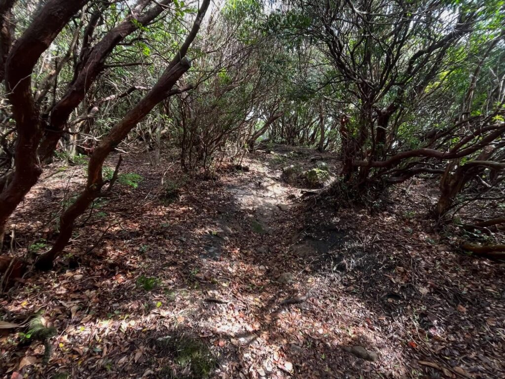
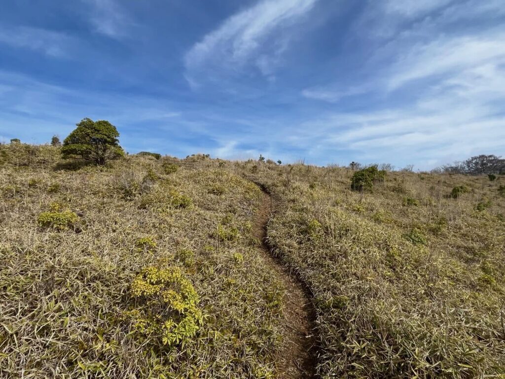
三本杭は笹山のイメージなのですが、しばらくは樹林帯です。
空が明るくなってきたなと思ったら、格子の第三の門が現れます。
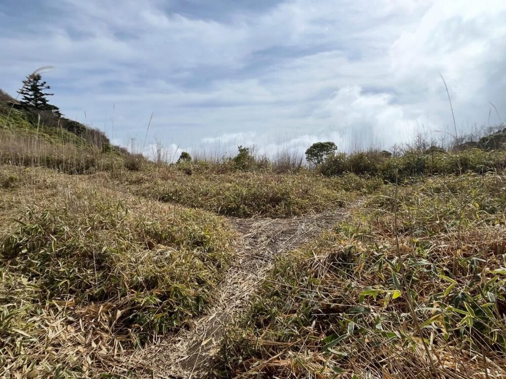
門を抜けると、空が広がり、草原が眼の前に現れます。
初めての三本杭に到着!
ずっと登りたかった山だけに、晴天に恵まれたことに感謝です!
とはいうものの、平家平のような場所をイメージしていたのですが、反対側にも格子の門があり、閉鎖された草原という印象です。
緑地化植生回復のためには致し方ないですね。
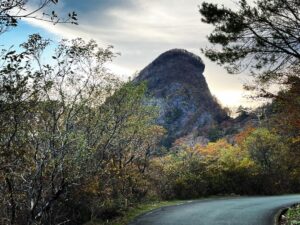
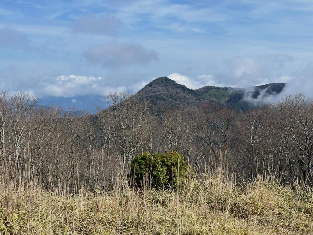
しかしながら、山頂標識の奥に立派な高月山を眺めることができるのは素晴らしいですね。
ザックを下ろして、しばしの至福の時間を堪能させていただきました。
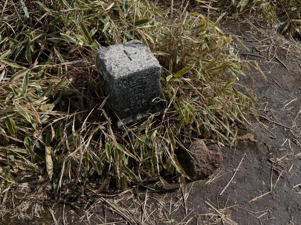
ちなみに、三本杭の名称をお勉強した所
江戸時代に宇和島藩、伊予吉田藩、土佐藩の3つの藩の境界を示す杭が立てらていた
とのことでした。
高い山というのは、わかりやすい境界になっていたのでしょうね。
今も3つの市町の境ですが、山頂は宇和島市だそうです。
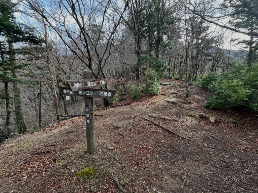
ここでトラバース道と合流です
行きに関しては八面山経由の方が圧倒的に楽だと思います
まっすぐ登ります
ここから尾根まで急登が続きます

ゲート1つ目
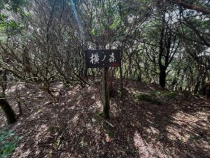
左に進むと三本杭、右に進むと横ノ森
もっと笹山をイメージしていました
3つ目のゲート
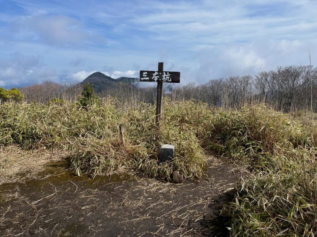
後ろには高月山が見えます
近いうちに登る予定です
#三本杭
#標高1226m
#さんぼんぐい
#滑床山
#なめとこやま
#一等三角点
#日本三百名山
#愛媛の小山上り
#小山上り
#愛媛県
#宇和島市
#北宇和郡
#松野町
#高知県
#四万十市
#鬼ヶ城連山
#鬼ヶ城山系
#南予アルプス
Descending from Mt. Yatsura, I walk steadily along the ridge trail.
The weather wasn’t great the last time I walked here, but today the sky is clear and blue, making for a very pleasant hike.
The steep climb begins at the fork leading to Kushigamori.
There is a path, but it’s barely there as I make my way up.
It’s a steep climb, but since I can see the ridge at the end, I’m feeling motivated.
After walking along the ridge for a while, I was surprised to find a lattice gate waiting for me.
It’s part of a vegetation restoration project.
A measure to prevent deer and other animals from eating the plants.
It’s a bit sad for the environment, but I suppose it can’t be helped.
I passed through the gate and took the fork toward Sanbongui.
Then, a second lattice gate appeared.
I passed through this one and climbed up to Sanbongui.
I had imagined Sanbonbuki to be like Sasayama, but for a while, it’s actually forested.
Just as I thought the sky was brightening up, a third lattice gate appeared.
Passing through the gate, the sky opened up, and a grassland appeared right before my eyes.
I’ve arrived at Sanbongui for the first time!
Since this is a mountain I’ve always wanted to climb, I’m so grateful for the clear weather!
That said, I had imagined a place like Heike-daira, but there’s another lattice gate on the opposite side, giving it the impression of a fenced-off grassland.
I suppose it can’t be helped for the sake of greening and restoring the vegetation.
However, it’s wonderful to be able to gaze upon the magnificent Mt. Takatsuki beyond the summit marker.
I took off my backpack and savored a brief moment of pure bliss.
By the way, after doing some research on the name “Sanbongui” ,
I learned that during the Edo period, stakes were erected here to mark the boundary between the three domains of Uwajima, Iyo-Yoshida, and Tosa.
I suppose a high mountain served as a clear boundary.
It’s still the border between three municipalities, but apparently the summit is in Uwajima City.