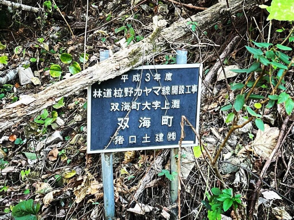
明神山 土砂崩れの林道柆野カヤマ線を越えてリベンジ登山(愛媛県伊予市)標高634.46m
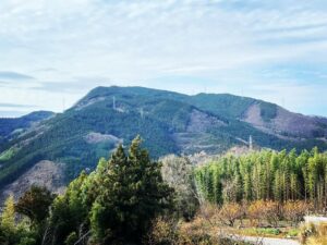
犬寄峠の黄色い丘から奥に進み、林道柆野カヤマ線に入ります。
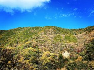
前回、6月には土砂崩れの上に、草藪がものすごくて諦めた明神山にリベンジ登山です。
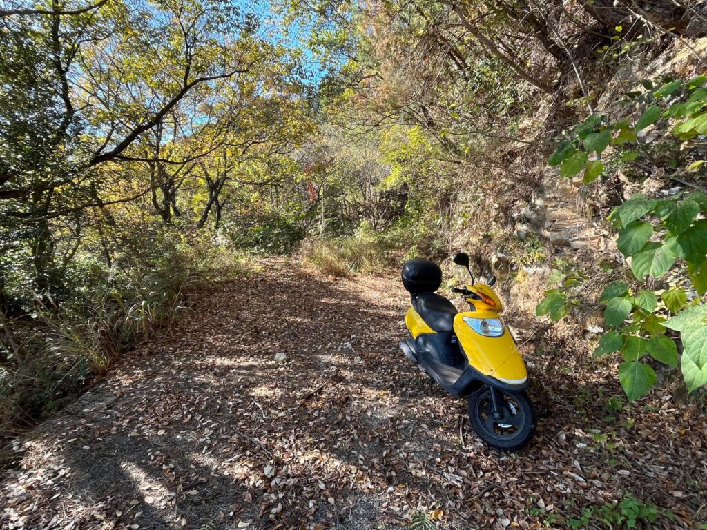
雑草が枯れ、スクーターである程度進めるかなぁと思ったのですが、残念ながら、前回の諦めポイントまでしかスクーターは進めず。
ここから歩きとなります。
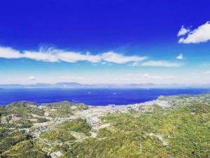
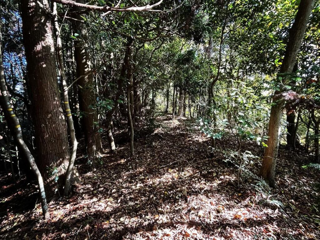
明神山の登山口まで、山すそを東から西まで歩きます。
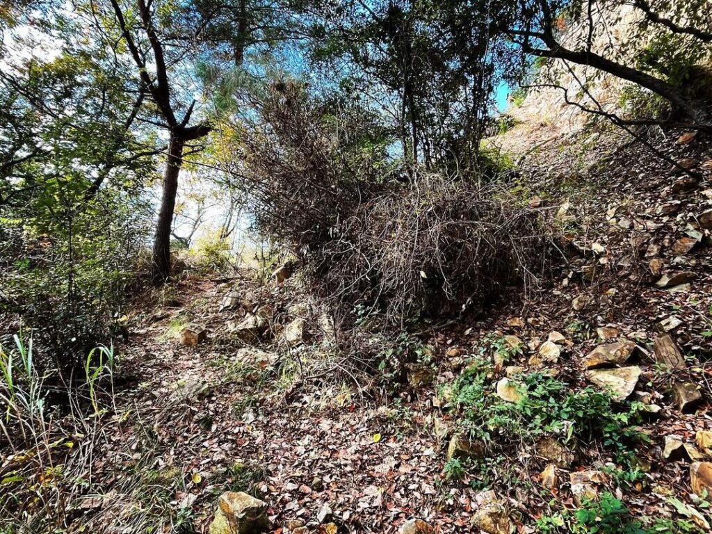
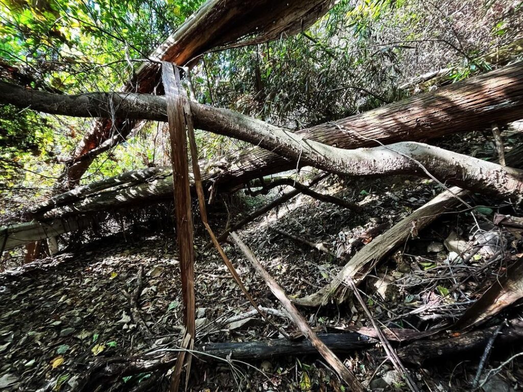
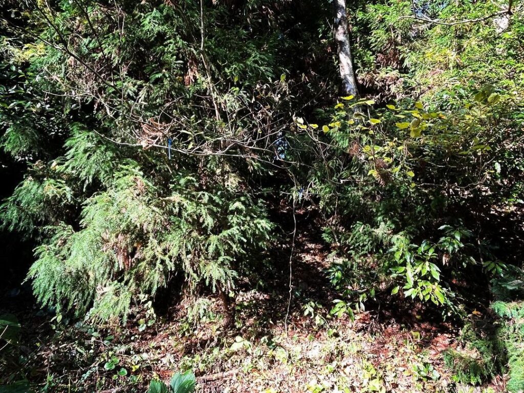
何ヵ所もの土砂崩れや倒木のため、まさにサバイバルレベルの道のり。
もとが良い林道だっただけに、バイクでも進めないのは本当に残念。
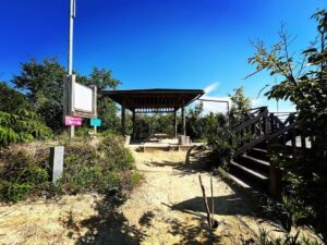
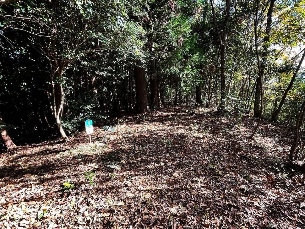
登山口は明神山の西側尾根。
とてもわかりにくいのですが、わずかにテープを貼ってくれていますので、YAMAPやgoogle mapで確認しながら見つけます。
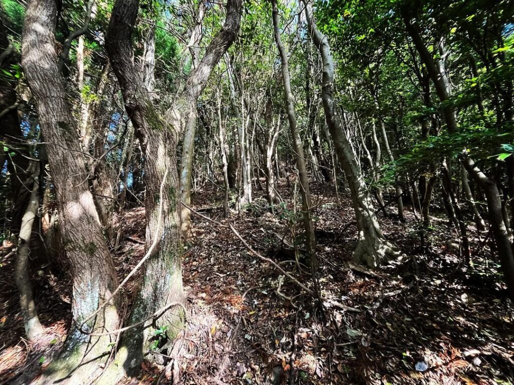
登山口に入ったら、尾根を右に登っていきます。
踏み跡があるようなないような、ということで確実に迷いそうなので、今回はテープを巻きながら登っていきました。(帰りにすべて回収しています)
踏み跡のない山って、登りはわかりやすいのですが、帰りは道を失ってしまうこともありますよね。
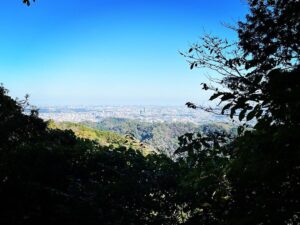
途中には急登する場所もあり、半信半疑で登っていきました。
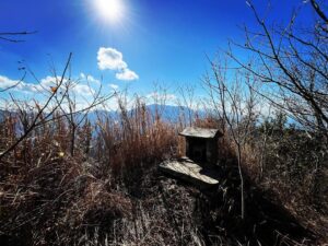
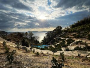
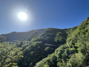
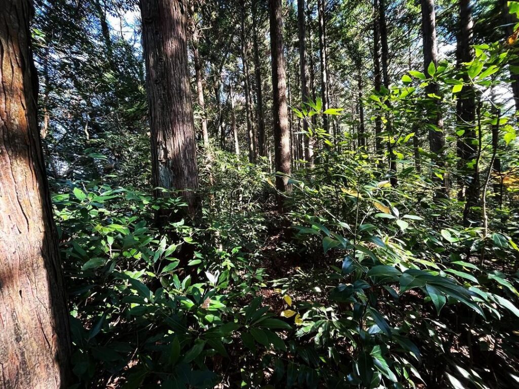
最後の尾根に出ると、太陽の光がたくさん入ってきて明るくなります。
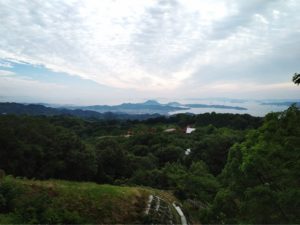
踏み跡もしっかりしており、山頂まで一直線に進めます。
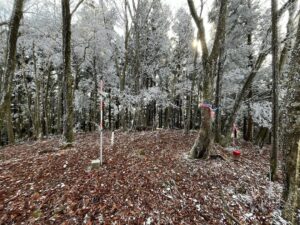
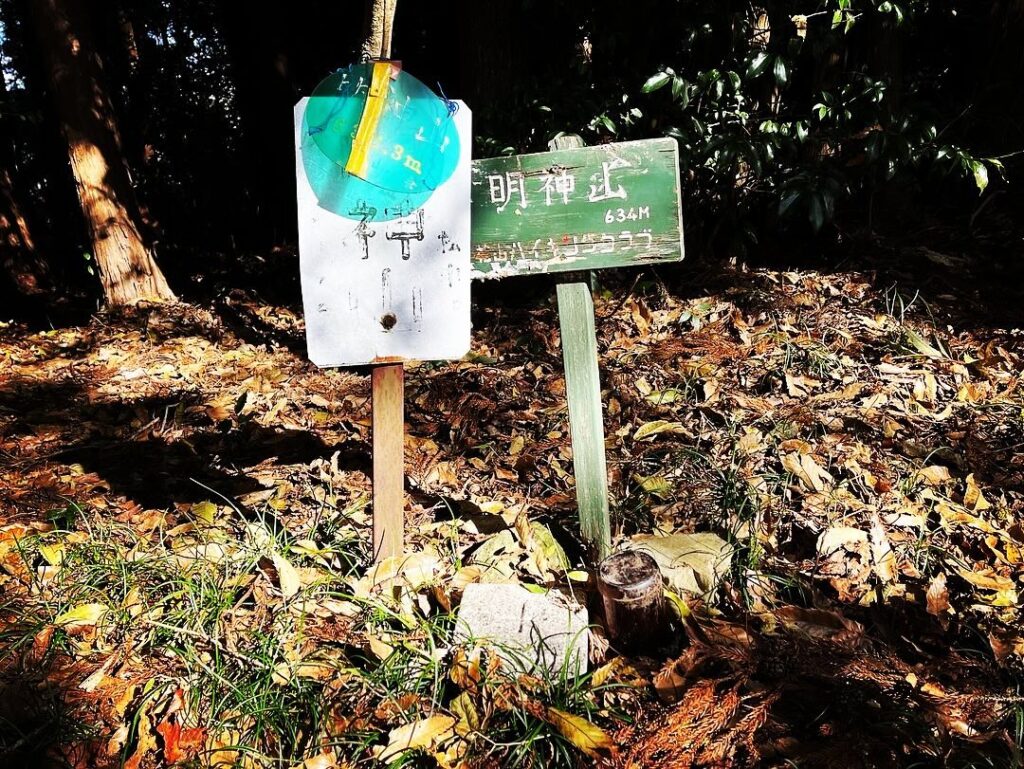
山頂には、明神山の標識と三角点。
ようやく、リベンジ登山を達成することができました。
もう少し行けそうかなと思ったのですが、岩と倒木で無理でした
乗り越えると、また道が始まりますので、諦めないで!
木の枝にテープが結ばれているのがわかりますでしょうか?
最初は急登ですが、頑張って登りましょう
私はテープを巻きながら登っていきました(帰路ですべて回収)
#明神山
#みょうじんやま
#標高634m
#三角点
#愛媛の小山登り
#小山登り
#愛媛県
#伊予市
#リベンジ登山
#林道柆野カヤマ線
#何ヶ所も土砂崩れ
#落石
#テープがお奨め
From the yellow hill of the Inuyose Pass, we went to the back and entered the forest road Kuinokayama line.
We were going to climb Myojinzan, which we had given up on last time in June due to a landslide and thick weeds.
We thought that the weeds had withered away and that we would be able to proceed with our scooters to some extent, but unfortunately, our scooters were only able to go as far as the point where we gave up last time.
From here, we started walking.
We walked from east to west along the edge of the mountain to the trailhead of Myojinzan.
The path was truly survival level due to numerous landslides and fallen trees.
It is a real shame that the trail is not accessible even by motorcycle, as it was originally a good forest road.
The trailhead is on the west ridge of Mt. Myoujin.
It is very difficult to find, but there is a small piece of tape posted on the ridge, so we found it by checking YAMAP and google map.
Once you enter the trailhead, climb up the ridge to the right.
There may or may not be a trail, so you will surely get lost, so this time we climbed up while rolling the tape. (We collected all the tape on the way back.)
It is easy to find your way up a mountain without any footprints, but you may lose your way on the way back.
There were places along the way where we had to climb steeply, so we half-heartedly continued up.
Once we reached the last ridge, it became brighter with lots of sunlight.
The trail is well trodden, and you can proceed in a straight line to the summit.
At the summit, we saw the Myojinzan sign and a triangular point.
Finally, we were able to complete our revenge climb.
明神山の入り口
林道柆野カヤマ線 スクーター限界点
明神山の登山口
明神山のMAP