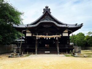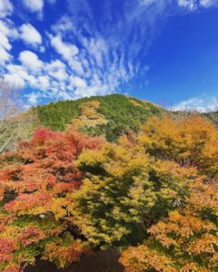
黒岩山浅草観音 黒岩山の山頂下にある高岡区の象徴(愛媛県伊予市)
本日は中山町の黒岩岳へ。
スクーター登山できるとのことで行ってきました。
とはいうものの、なかなか一筋縄には行かない道で
「お山へ行こう!」さんの情報様々でした!
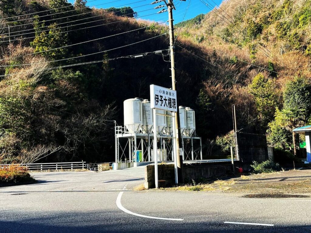
まずは、黒岩山浅草観音を目指します。
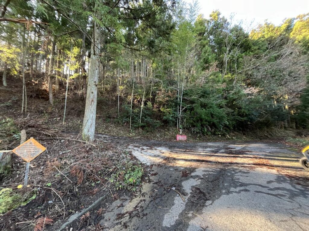
国道56号線の、昔、伊予大権現・観音立像があった場所が入り口です。
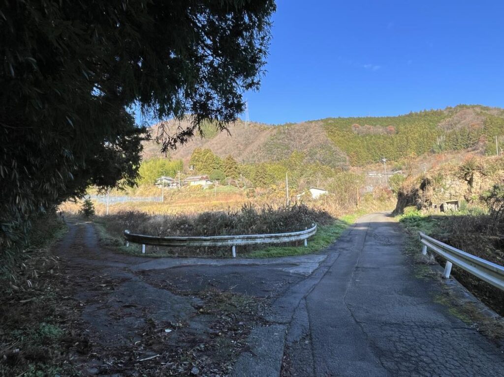
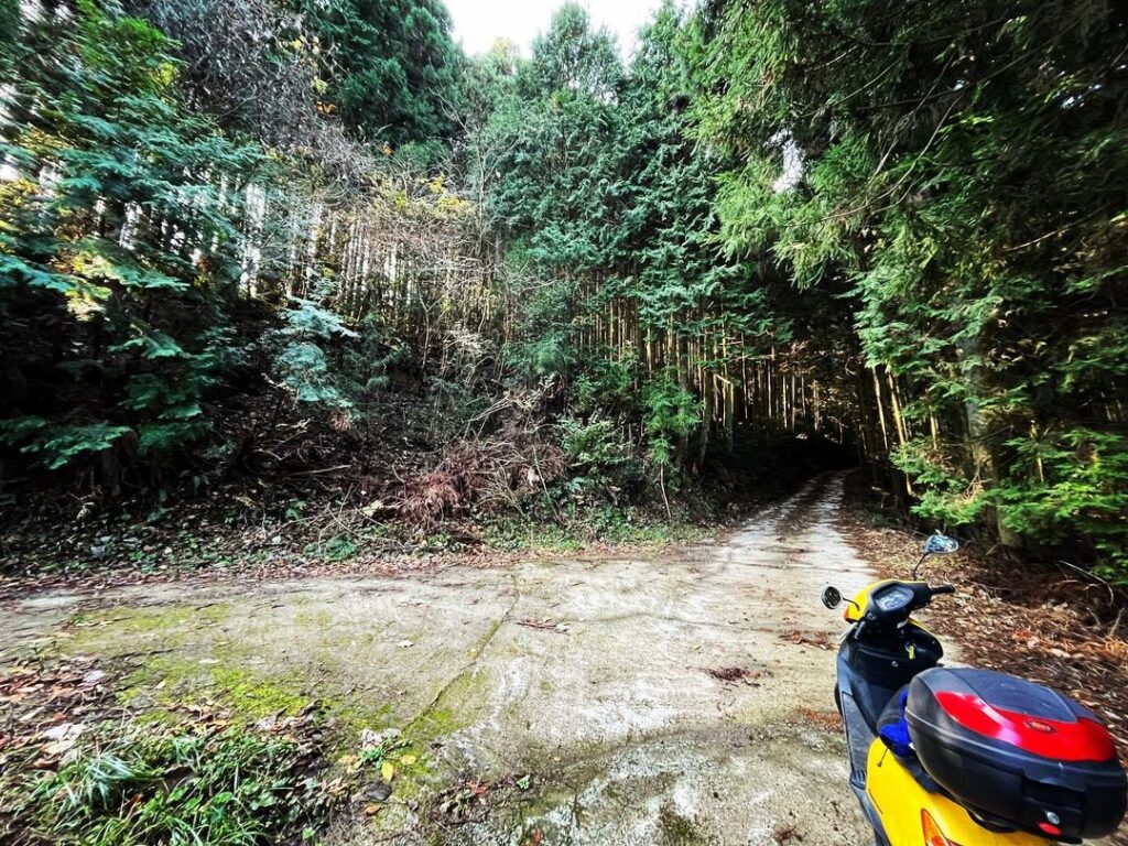
山沿いの道へ入っていきます。
しばらくアスファルト舗装されたきれいな道が続きます。
「←福元・柚之木」と書かれた立て札が第一目印です。
昔は「高岡→」という文字も書かれてあったのですが、今はありません。
ここをぐるっと右に折れて登っていきます。
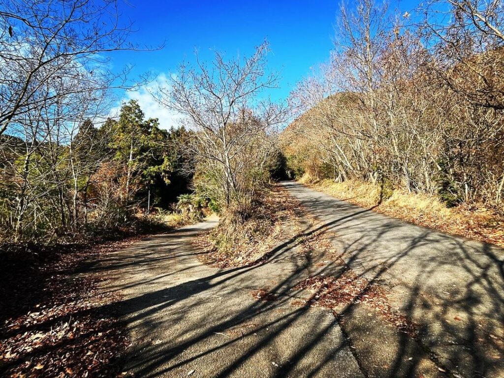
いくつか分岐点があるのですが、基本的には上に進む道を選ぶと大丈夫です。
(WEB版で詳細のご説明をしますね)
ちなみに、google mapで「黒岩山浅草観音」を選択して登っていくと、全く違う場所に連れて行かれますのでご注意ください。
大きな矢印が書いてある分岐点が見えたら、矢印通りに進みます。
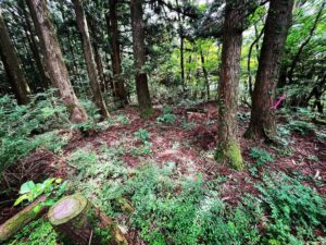
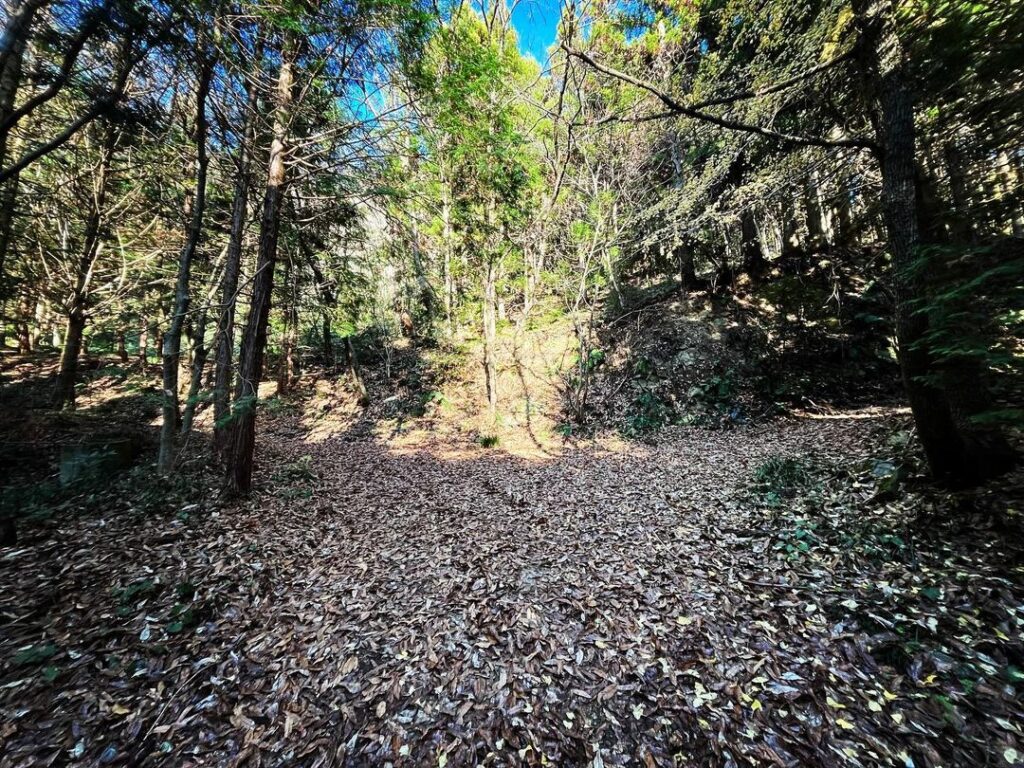
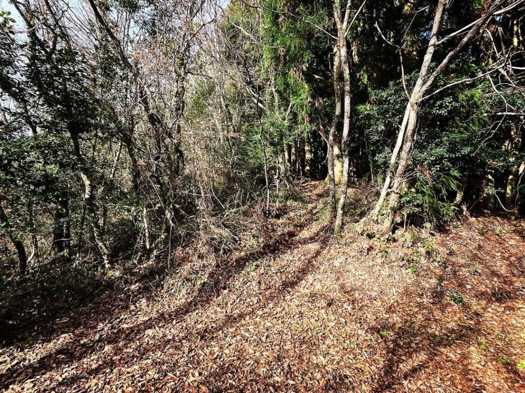
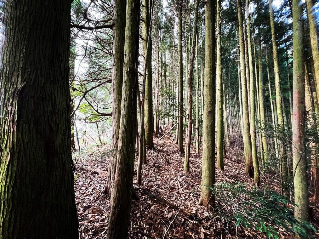
基本的に杉木林なのですが、ところどころ広葉樹ゾーンは落ち葉が積もっていました。
滑らないように注意です。
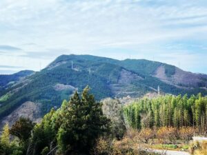
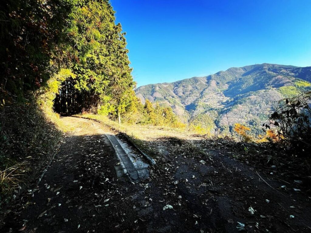
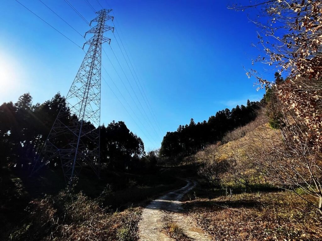
鉄塔が見えたら、横を通って登っていきます。
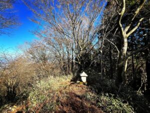
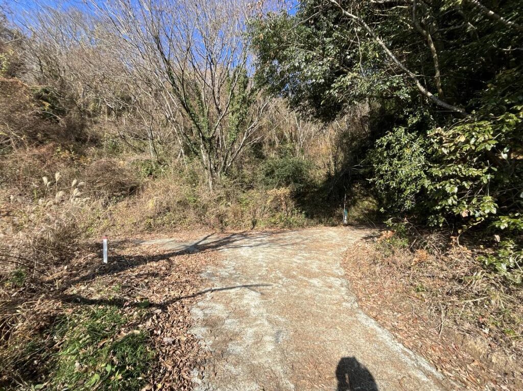
さらに進むと、三叉路があります。
左に行くと黒岩山浅草観音、まっすぐ進むと黒岩山の山頂近くまで続きます。
まずは左折して黒岩山浅草観音へ。
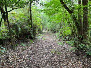
倒木が道を塞いでいましたが、なんとか除けて進めました。
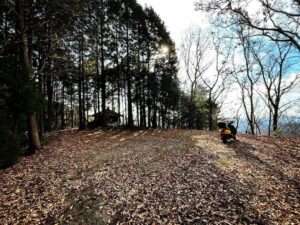
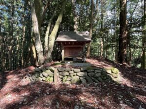
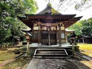
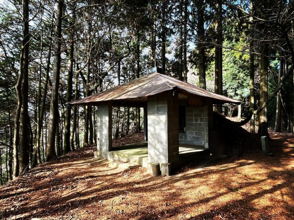
少し登ると、黒岩山浅草観音の裏の広場に。
屋根のある祠にご挨拶させていただきました。
ちなみに、google mapの場所がずれていて、少し場所が違います。
裏の広場には、黒岩山山頂への登山口があります。
少し入ってみました。
杉木の間を通って、なんとなく踏み跡があるのですが、こちらはここまで。
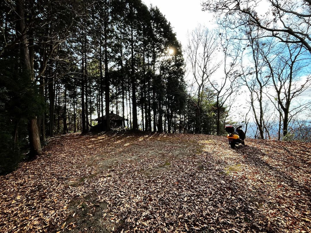
戻って、スクーターで山頂近くまで進みます。
右の道で上に登っていきましょう!
左に行くと黒岩山浅草観音、真っ直ぐ進むと黒岩岳山頂近くへ

#黒岩岳
#くろいわだけ
#標高698m
#黒岩山
#愛媛の小山登り
#小山登り
#愛媛県
#伊予市
#中山町
#三角点
#黒岩山浅草観音
#くろいわやまあさくさかんのん
#浅草観音
#黒岩岳トンネル
#延長2308m
#伊予大権現
#スクーター登山
Today we went to Mt. Kuroiwa in Nakayama Town.
We went there because we were told that we could climb the mountain by scooter.
However, it was not an easy road to climb.
Let’s go to the mountain! I got a lot of information from “Let’s go to the mountain!
First, we set out for Asakusa Kannon (Goddess of Mercy) on Mt.Kuroiwa.
The entrance is on Route 56, where there used to be a standing statue of Iyo-daigongen, the Goddess of Mercy.
We entered the road along the mountain.
A beautiful asphalt-paved road continues for a while.
The first landmark is a sign that reads “←Fukumoto/Yuzunoki.
In the past, the sign also read “Takaoka→” but it is no longer there.
Turn right around here and climb up.
There are several forks, but basically it is safe to choose the path going up.
(I will explain the details in the web version.)
By the way, please note that if you select “Kuroiwa-yama Asakusa Kannon” on google map and go up, you will be taken to a completely different place.
When you see a junction with a big arrow, follow the arrow.
The area is basically a cedar forest, but in some places the broadleaf tree zone was covered with fallen leaves.
Be careful not to slip.
When you see a steel tower, go up through the side.
Further on, you will come to a three-way junction.
Go left to Kuroiwa-yama Asakusa Kannon and continue straight ahead until you are near the summit of Kuroiwa-yama.
First, turn left to go to Kuroiwa-yama Asakusa Kannon.
A fallen tree was blocking the path, but we managed to get rid of it and proceeded.
After a short climb, we reached the plaza behind Kuroiwa-yama Asakusa Kannon.
We were greeted by a shrine with a roof.
By the way, the location on google map is off and the place is a little different.
In the back square, there is a trailhead to the top of Mt.
We went in a little.
There are some kind of footprints through the cedar trees, but that’s as far as we went.
We went back and proceeded by scooter to near the summit.
黒岩岳・黒岩山浅草観音の入り口
黒岩岳と黒岩山浅草観音の分岐点
※google mapの「黒岩岳の浅草観音堂」の場所はずれて間違っているのでご注意ください。
黒岩山浅草観音のMAP
※google mapの「黒岩岳の浅草観音堂」の場所はずれて間違っているのでご注意ください。
黒岩岳の登山口(黒岩山浅草観音駐車場より)