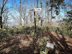
陣ヶ森 東温アルプス縦走 上林峠→陣ヶ森(愛媛県上浮穴郡久万高原町)標高1206.85m
前回は車道を通って登ったので、今回は楽しみの東温アルプスルート。
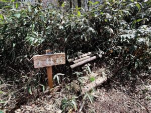
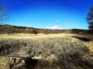
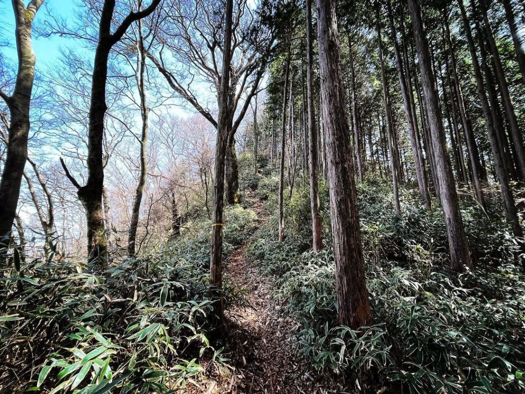
上林峠から登っていきますが、いきなり急な登りからスタート。
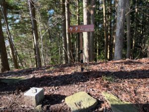
笹と杉の木に囲まれた道を歩いていきます。
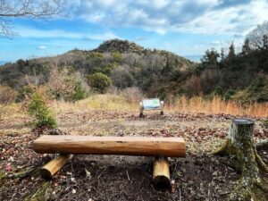
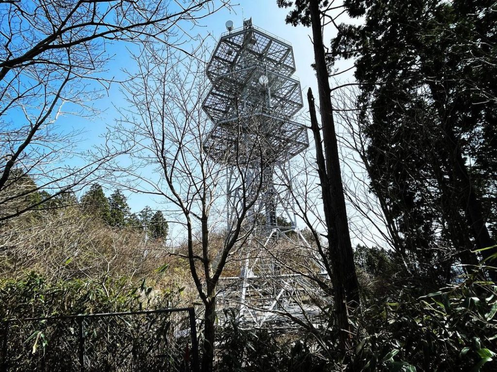
20分程で陣ヶ森の電波塔に。
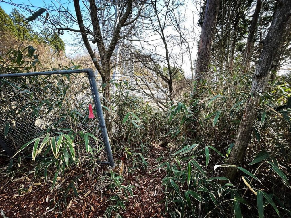
電波塔をぐるりと回って、最後の登りに。
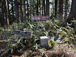
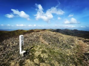
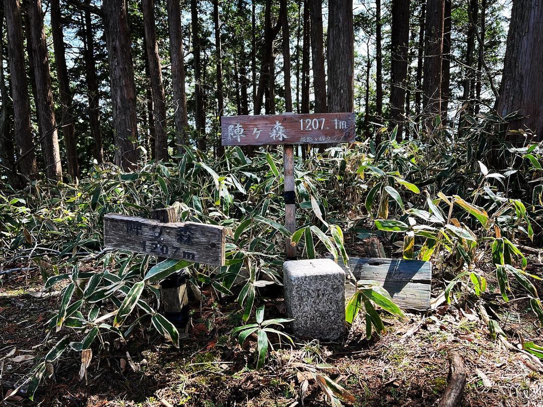
陣ヶ森の三角点、1207.1m
前回、たどり着けなかったので、ちょっと感動です。
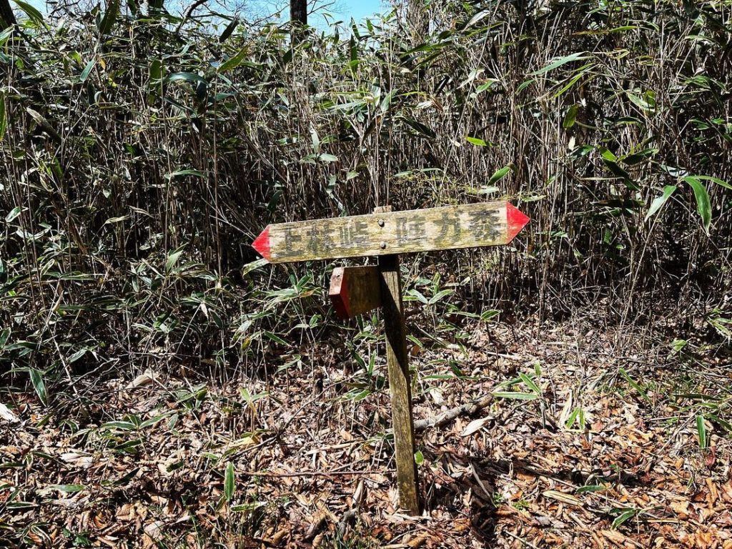
前回わからなかった、電波塔の下から登る方法もわかりました。
これ、上からはわかりやすいのですが、下からでは全くわからない(汗)
#陣ヶ森
#標高1207m
#電波塔
#無線中継塔
#三角点
#上林
#上林峠
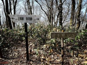
#皿ヶ峰連峰
#東温アルプス
#縦走
#愛媛の小山登り
#小山登り
#愛媛県
#東温市
#上浮穴郡
#久万高原町
Last time we climbed via the road, so this time we took the Toon Alps route, which we were looking forward to.
We climbed up from the Kanbayashi Pass, and the ascent started steeply.
We walked along a path surrounded by bamboos and cedar trees.
After about 20 minutes, we reached the radio tower in Jingamori.
After circling around the radio tower, we will make the final ascent.
Jingamori’s triangular point, 1207.1m
We are a bit impressed since we couldn’t reach it last time.
I also figured out how to climb from the bottom of the radio tower, which I couldn’t figure out last time.
It was easy to understand from the top, but not at all from the bottom.
陣ヶ森の登山口
陣ヶ森のMAP