壺神山(壷神山)ほぼスクーターで登れる約1000mのお山(愛媛県大洲市、愛媛県伊予市)標高970.79m
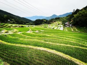
樫谷棚田で壺神山の約半分の標高。
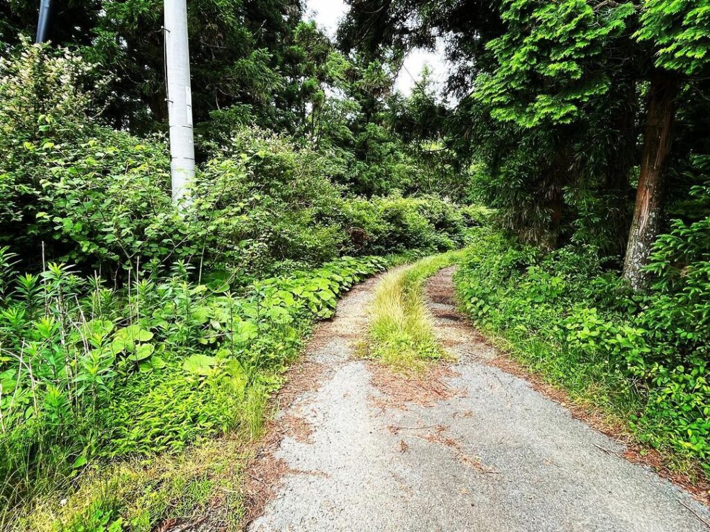
細道をどんどんとスクーターで登っていきます。
車だと、離合なんて、どうするのでしょうね?(汗)
道に分岐点がたくさんあるのですが、壺神山の案内板がたくさん出ているので迷うことはないと思います。
先に壺神神社に行く予定だったのですが、藪の中で道を見つけることができませんでした。
リサーチ不足です・・・
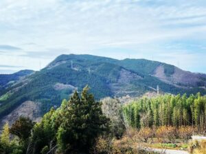
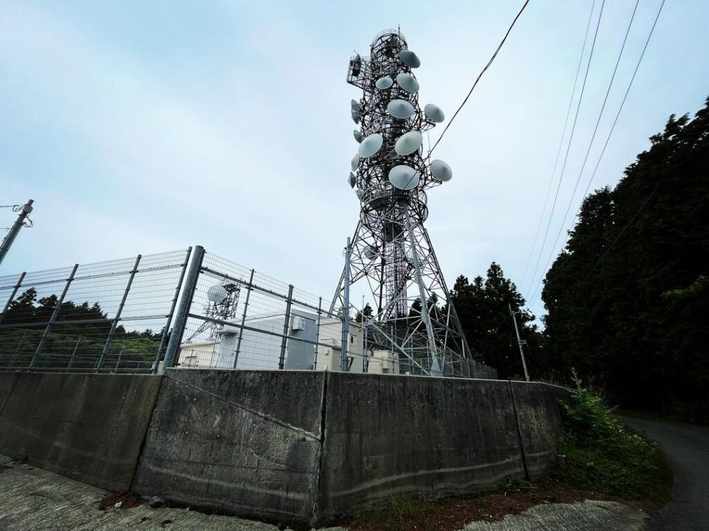
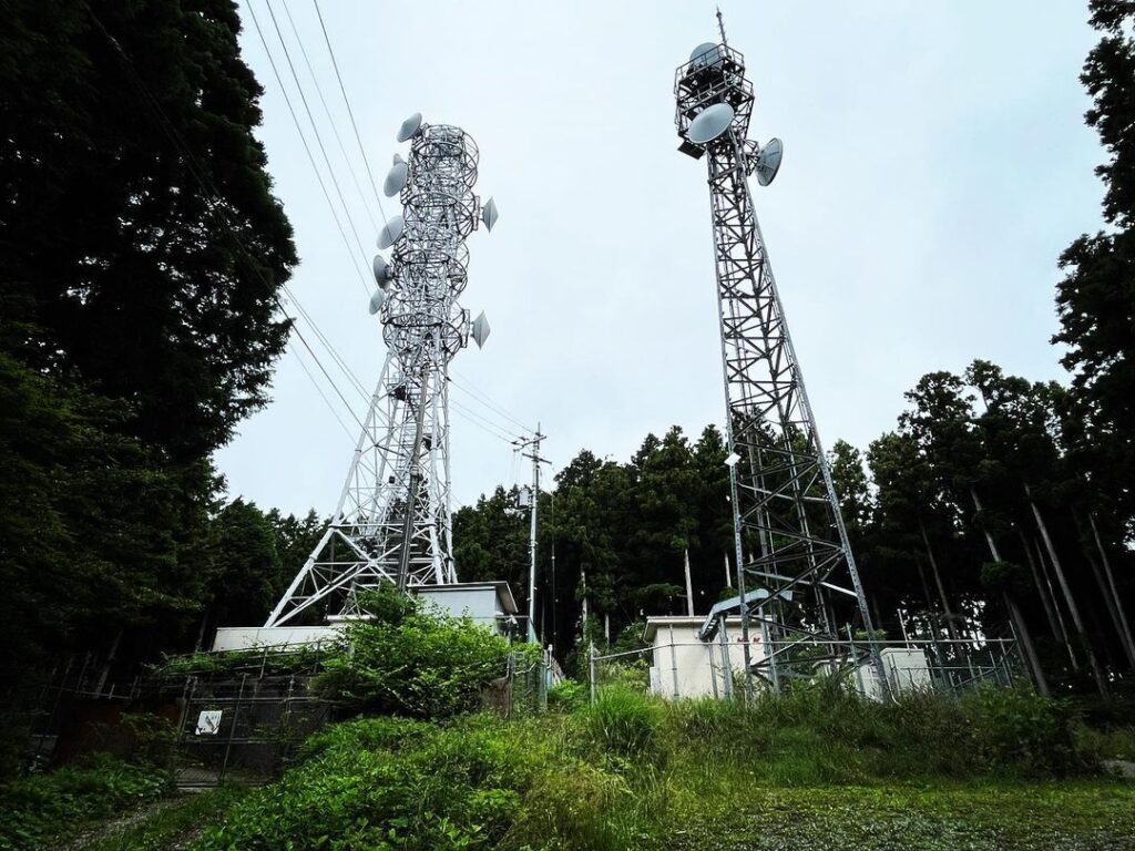
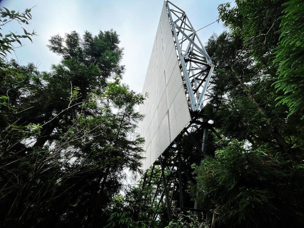
アンテナ鉄塔の横を抜け、舗装がなくなった道を進むと、2つのアンテナ鉄塔に到着。
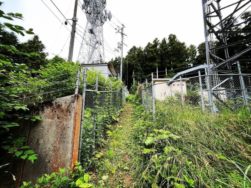
ここから歩きです。
鉄塔の間の草藪が道です!
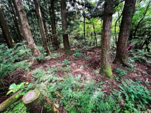
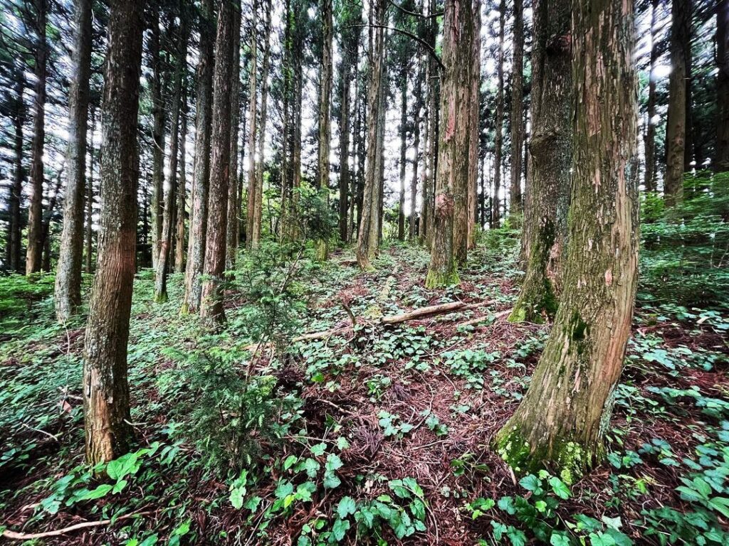
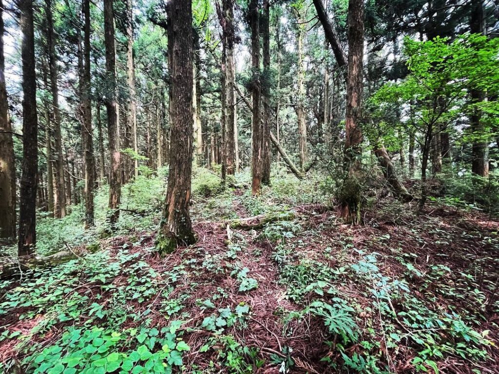
5mほど草薮を抜けると、山道に。
林の木々の中を進んでいきます。
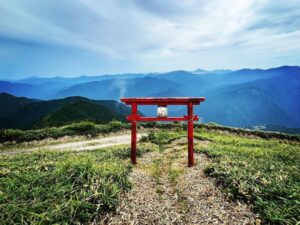
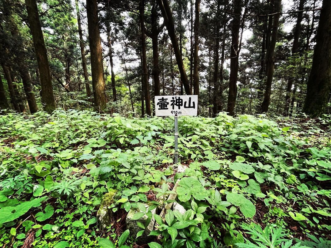
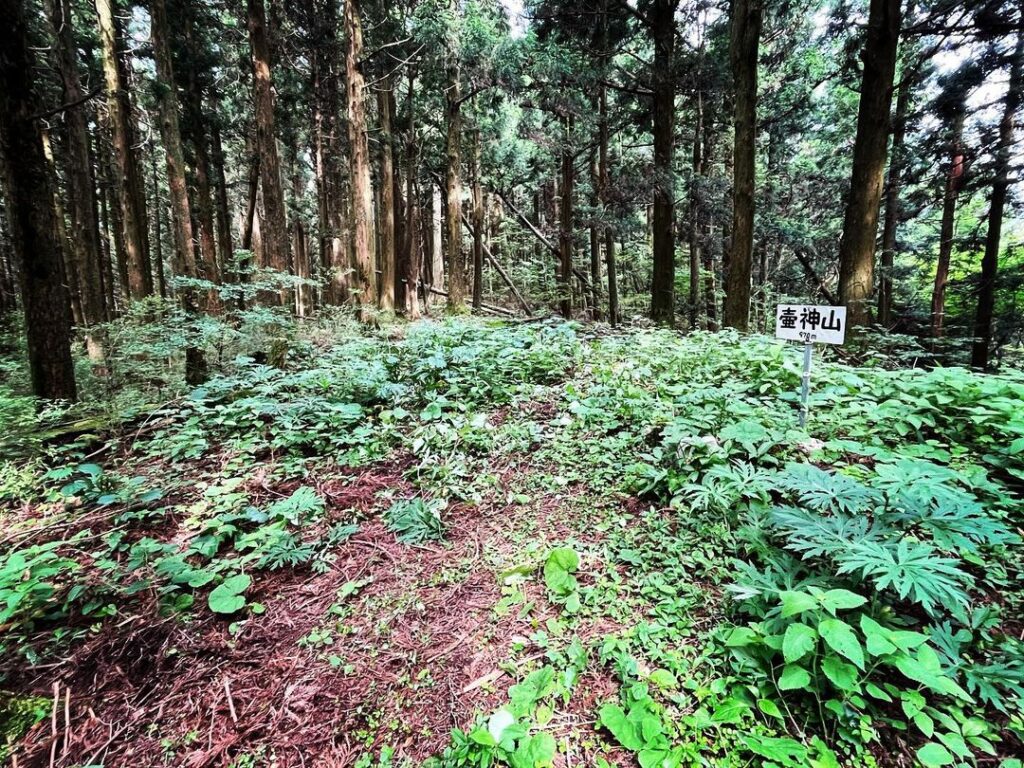
反射板の横を抜け、緩やかに登っていくと山頂に到着です。
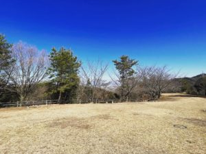
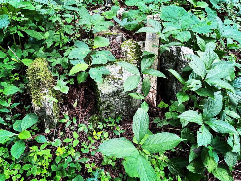
山頂には看板と三角点。
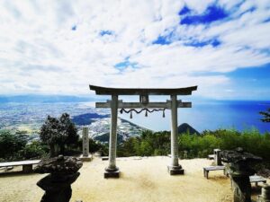
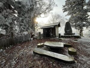
展望はありませんが、ここから滝山までの尾根道が楽しめます。
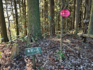
この少し下あたりから壺神神社へ行けるはずです
#壷神山
#壺神山
#つぼがみやま
#標高971m
#愛媛の小山登り
#小山登り
#愛媛県
#大洲市
#長浜町
#伊予市
#双海町
#三角点
The scooter goes up and up and up on the narrow road.
I wonder how a car would be able to take off from a scooter?.
There are many forks in the road, but I don’t think you will get lost because there are many information boards for Tsubogamiyama.
We had planned to go to Tsubogami Shrine first, but we couldn’t find the path in the bushes.
I did not do enough research.
After passing by the antenna towers and following a path that had lost its pavement, we arrived at two antenna towers.
From here, we started walking.
The path is in the bushes between the towers!
After passing through the grassy area for about 5 meters, you will reach a mountain path.
Continue through the trees in the forest.
Passing by a reflector and climbing gently, you will reach the summit.
At the summit, there is a signboard and a triangular point.
There is no view, but you can enjoy the ridge path from here to Takiyama.
壺神山の登り口
壺神山の登山口
壺神山のMAP