赤柴峠 600mの標高差を一気に登る 上林→赤柴峠→引地山(愛媛県上浮穴郡久万高原町・愛媛県東温市)標高1032m
今日は、上林から引地山を目指します。
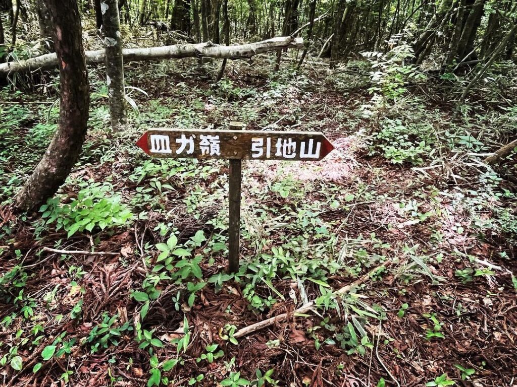
赤柴峠から引地山って実は近いのですよね。
以前は、風穴から赤柴峠経由で下っただけでしたので、忘れ物を取りに行く感覚です。
なのですが、感覚的に上林から水の元に登る程度の気持ちで登り始めたのですが、よくよく考えると、倍ぐらいの時間がかかるのですよね。
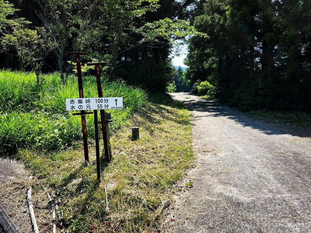
そういえば、入口の看板に、赤柴峠100分、水の元55分と書いていましたね(汗)
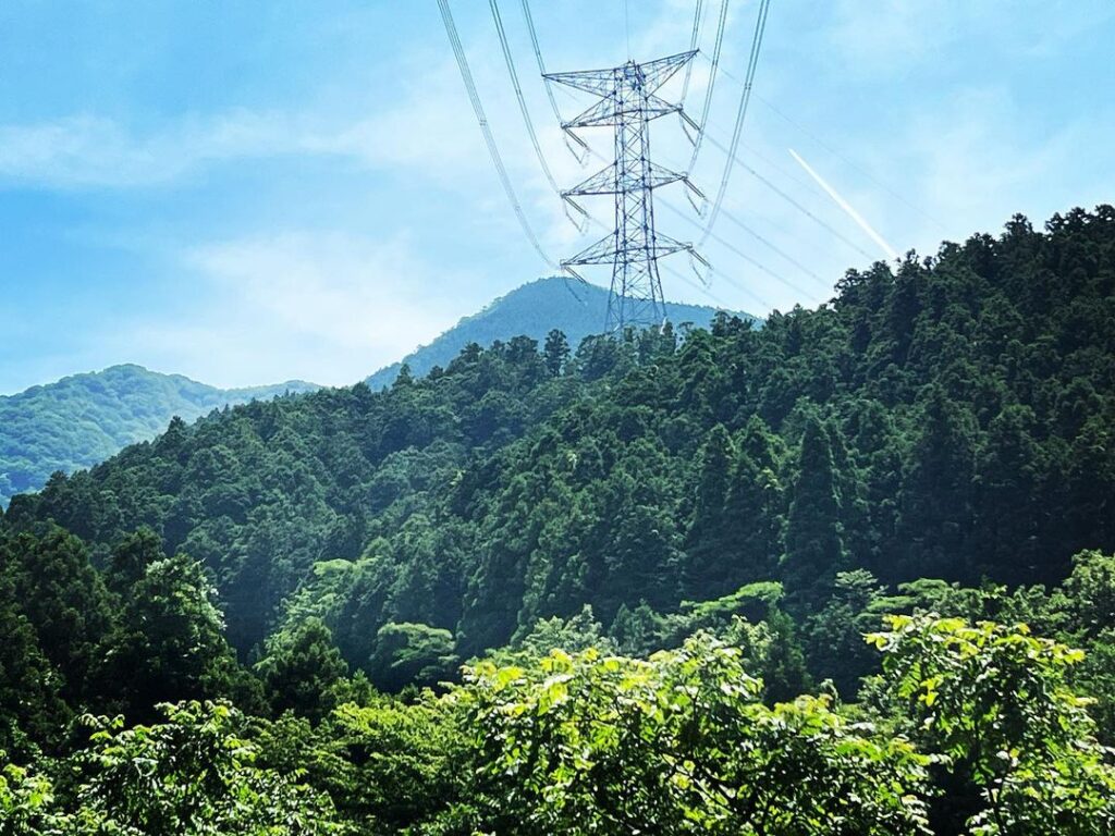
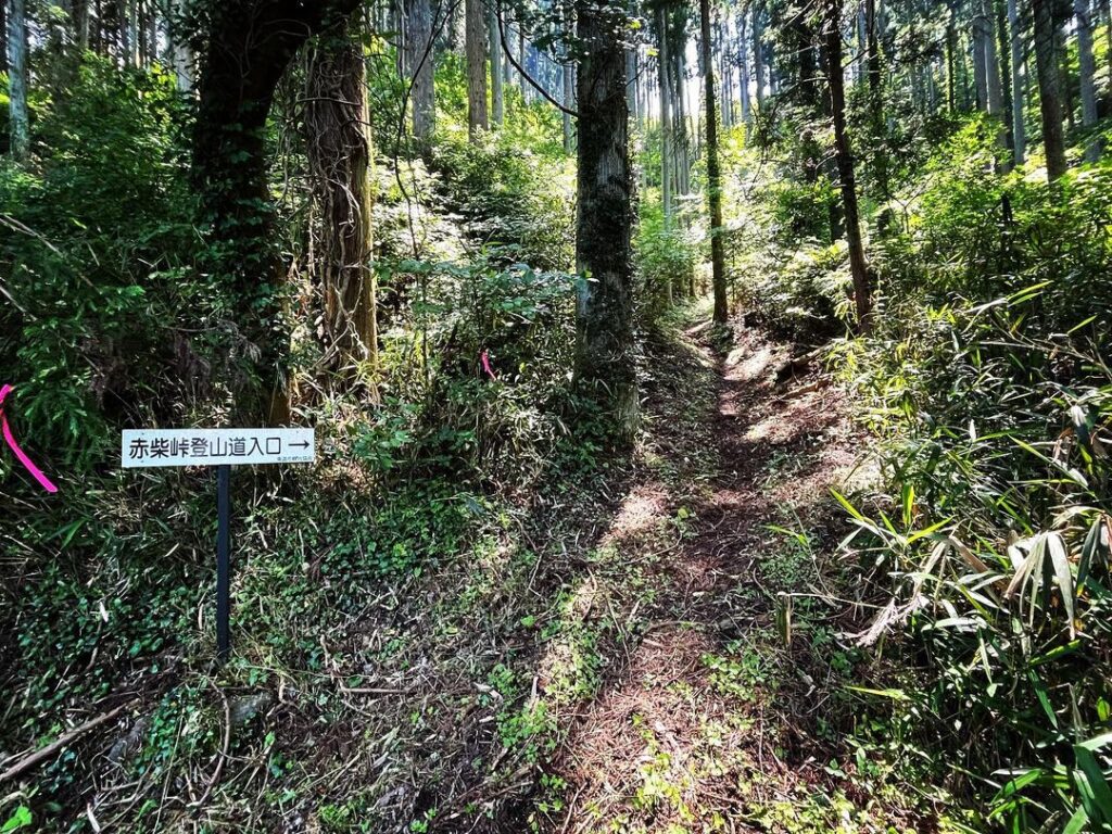
赤柴峠までの道は、前半は鉄塔巡視路です。
まずは、小川を越え、段々畑の展望を見て、ここから本格的な山道が始まります。
上林から赤柴峠まで標高差が約600mありますので、なかなか急で長い道のりです。
1本目の鉄塔をくぐり、杉の木々の中の登山道を抜け、鉄橋を渡ります。
2本目の鉄塔を過ぎると、いよいよ本格的な急こう配に。
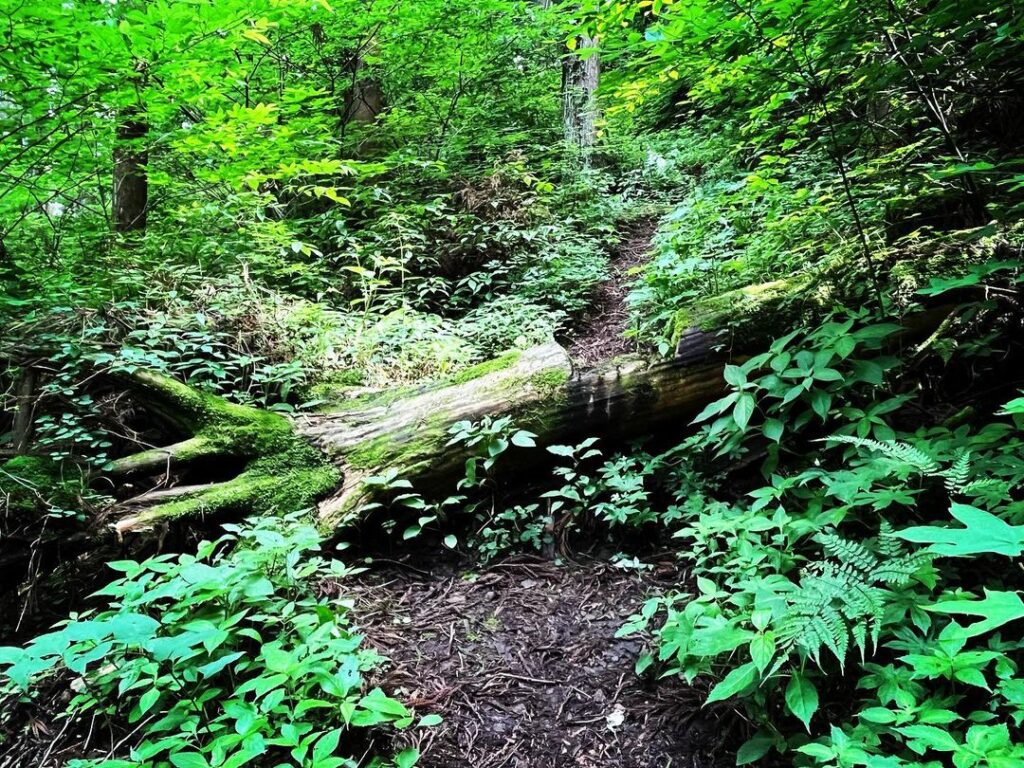
ここから山道が狭くなります。ここからが長いです!
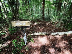
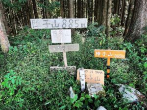
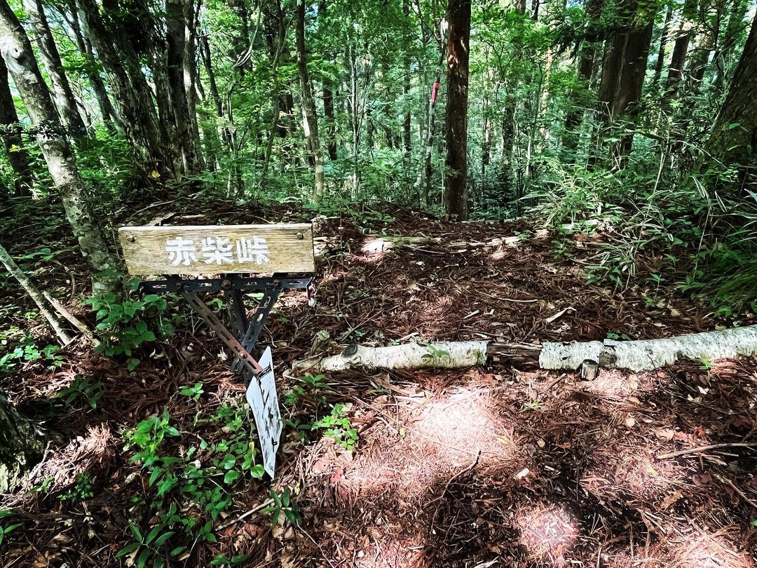
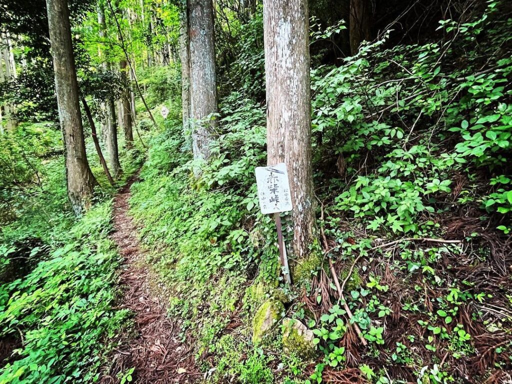
後半の300mの山道を登りきると、赤柴峠の標識が。
いやぁ、長かった!
軽い気持ちで登ったらダメですね(汗)
少し休憩したら、引地山に向かいます。
ちなみに、初めて生態系の頂点「おにやんま君」を試したのですが、虫除けの効果は絶大でした!
オニヤンマって凄い!
と思ったら標高差が600mもありました(汗)
水の元の感覚で登り始めたのは失敗でした
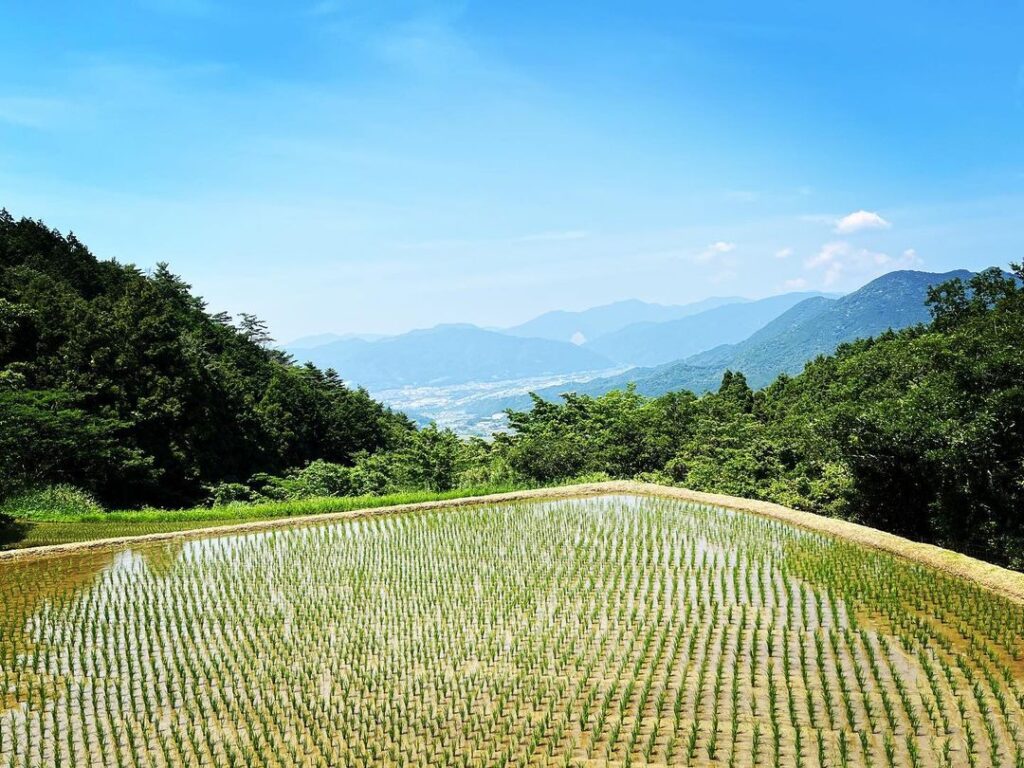
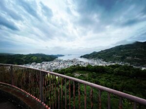
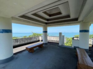
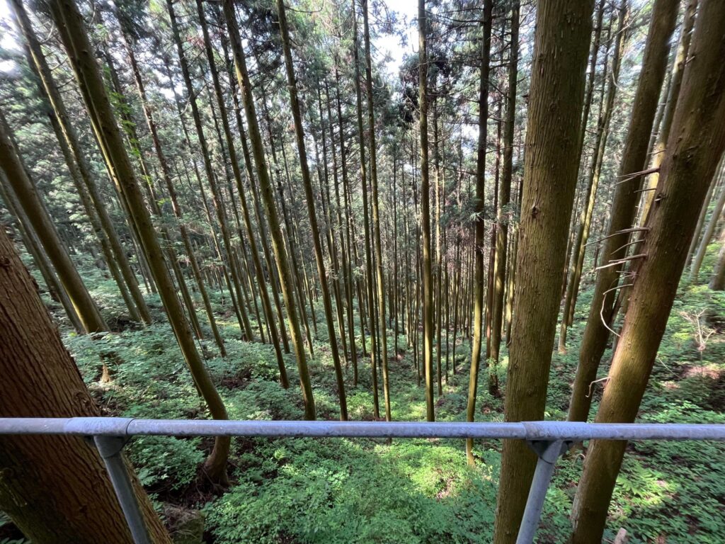
ここの景色が本当に美しいです!
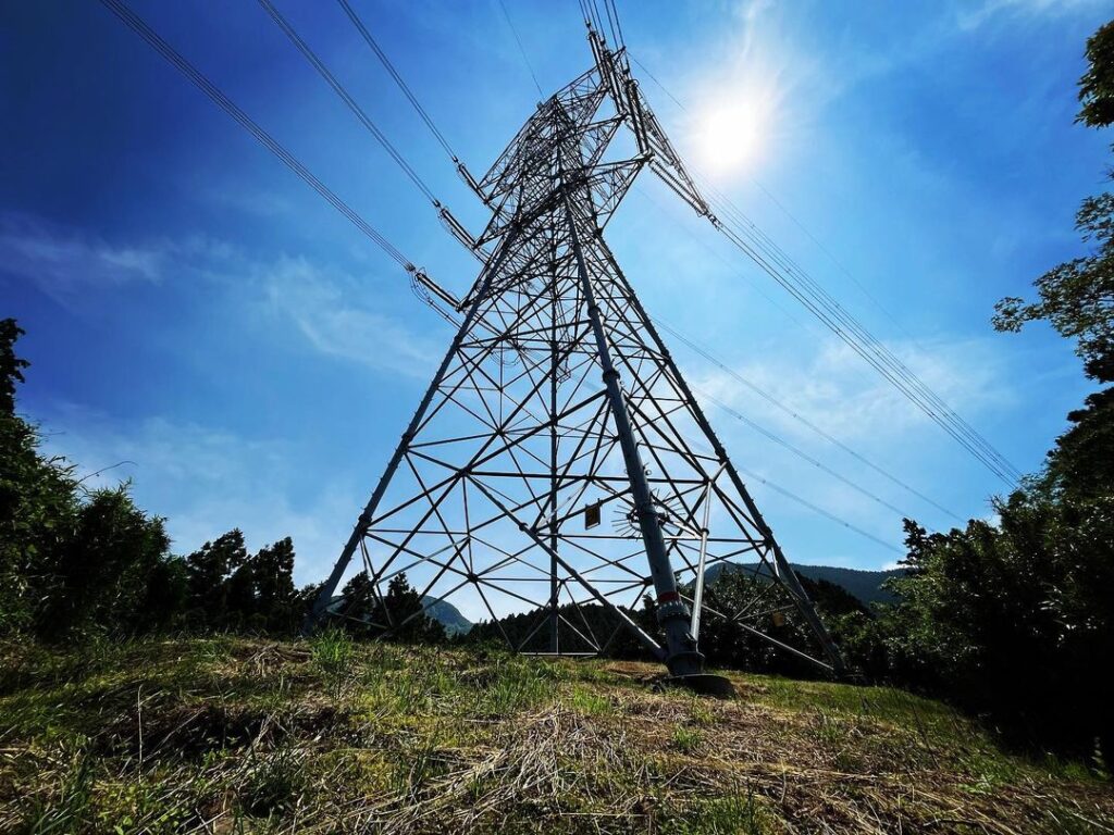
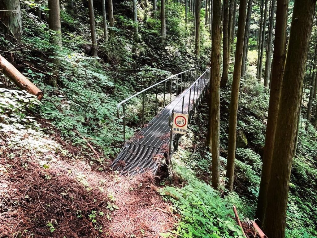
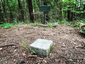
少し谷側に傾いていて怖いですが、基礎はしっかりしています
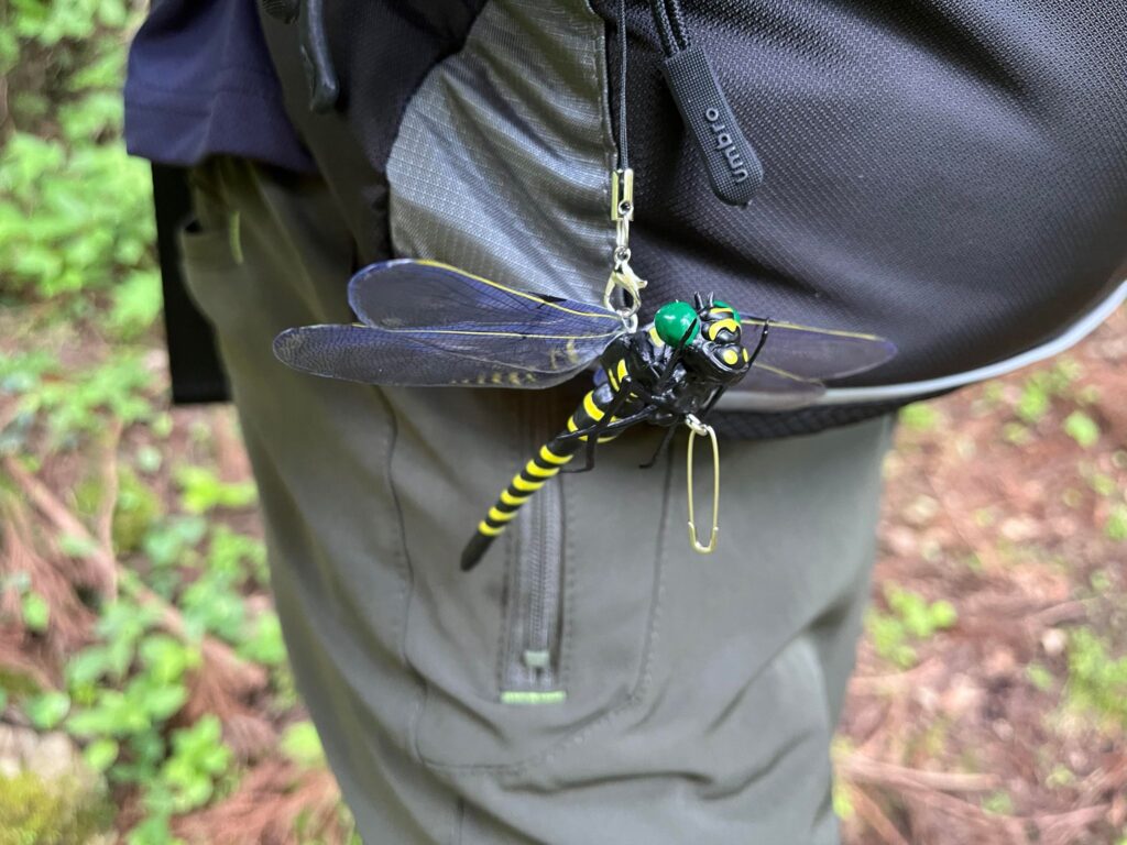
アブが全く追いかけて来ず、快適に登れました!
#赤柴峠
#あかしばとうげ
#標高1032m
#上林
#引地山
#皿ヶ嶺
#愛媛の小山登り
#小山登り
#愛媛県
#上浮穴郡
#久万高原町
#東温市
#YAMAP
#おにやんま君
#オニヤンマ
#生態系の頂点
#食物連鎖の頂点
Today, we will go from Kanbayashi to Hikichiyama.
Hikichi mountain from Akashiba Pass is actually very close.
Previously, we had only descended from the windhole via Akashiba Pass, so it was like going to pick up something we had forgotten.
But I started to climb the mountain with the feeling of going up from Kanbayashi to Mizumoto, but when I think about it, it takes about twice as long.
Come to think of it, the signboard at the entrance said Akashiba Pass 100 minutes and Mizumoto 55 minutes.
The first half of the road to Akashiba Pass is a steel tower patrol route.
First, you cross a creek and see a view of terraced fields, from here the real mountain path begins.
There is a difference in altitude of approximately 600 m from Kanbayashi to Akashiba Pass, so it is quite a steep and long road.
Passing through the first pylon, the trail passes through cedar trees and crosses a railway bridge.
After passing the second pylon, the trail finally becomes seriously steep.
From here, the mountain path narrows. From here it is a long way up the mountain!
After the last 300 m of the mountain path, you will see a sign for the Akashiba Pass.
Well, it was long!
You can’t take the climb lightly.
After a short break, we will head towards Hikichi Mountain.
Incidentally, for the first time we tried the apex of the ecosystem, Oniyanma-kun, and it was extremely effective in repelling insects!
Oniyanma is amazing!
赤柴峠の景色(動画)
赤柴峠・引地山の入り口
赤柴峠・引地山の登山口
赤柴峠のMAP