九島山(鳥屋が森) 登山口まで車道1時間歩き 九島大橋と鬼ヶ城山系の眺望(愛媛県宇和島市)標高322m
鬼ヶ城山系をフルコースで楽しんだのですが、一人登山のためか、予定より2時間以上早く終えることができました。
せっかくなので、毛山から眺めていた、九島の鳥屋が森に登ってみました。
フルコースの後のスイーツ感覚ですね。
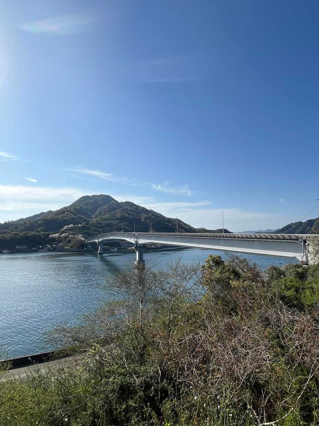
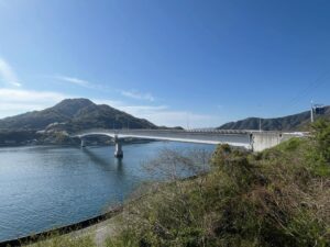
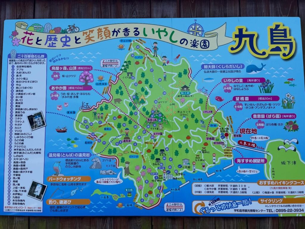
九島には2016年4月に、全長468mの九島大橋がかけられ、車で渡ることができます。
ちなみに鳥屋が森は、日本離島センターのしま山100選に選ばれています。
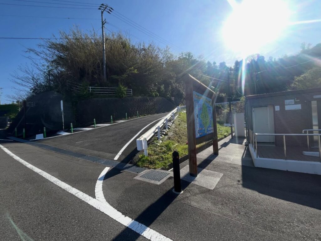
とはいうものの、鹿のコルを15時に出たので、市営九島大橋駐車場に着いたのが16時。
YAMAPを見ていると、標高300mちょっとの山に、なぜか2時間半以上かかっている人が多く不思議だったのですよね。
理由は明確で、登山口まで車で上がるのは禁止されています。
ということで、登山口まで車道1時間コースのスタートです。
この日の宇和島市の日の入は18時33分、なんとか明るいうちに戻ってきたいです。
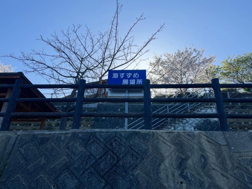
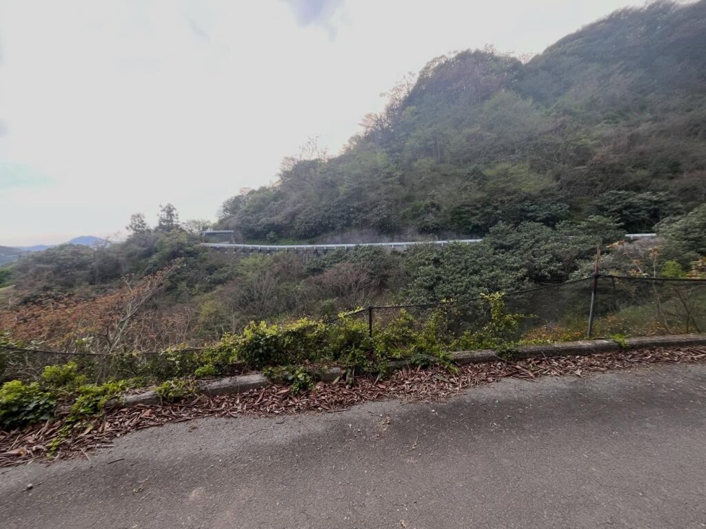
車道を登り始めると、すぐに「海すずめ展望所」があります。
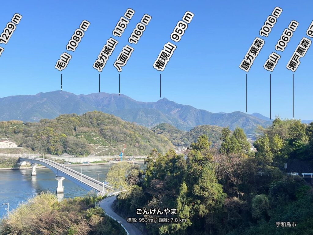
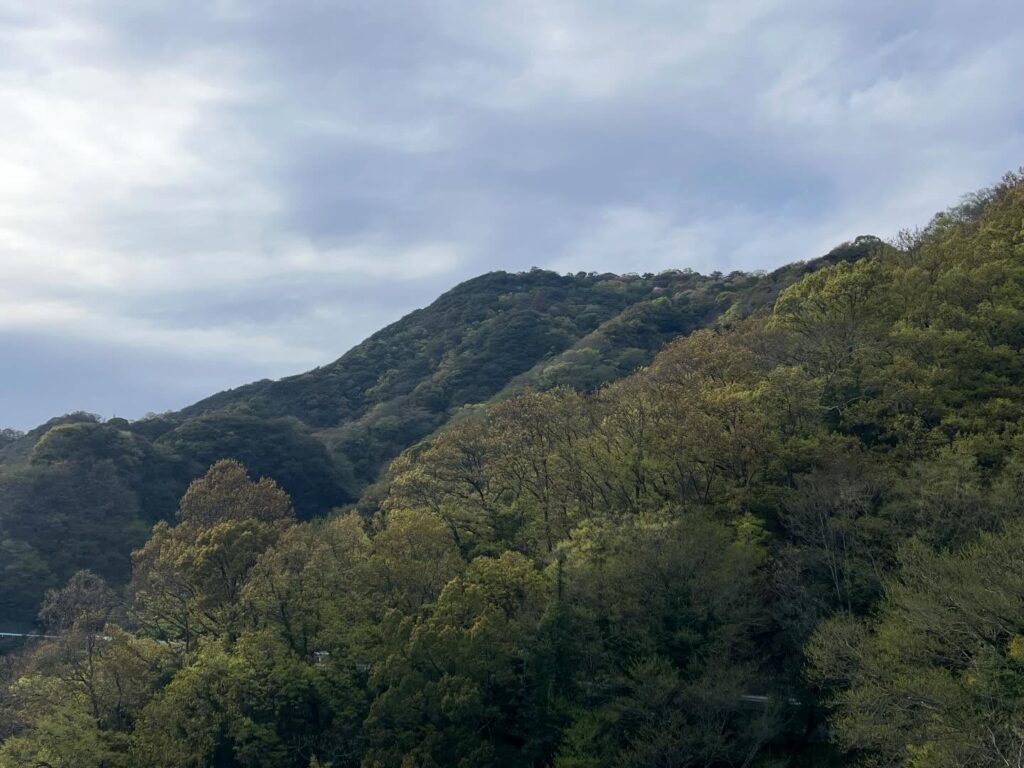
ここに限らずなのですが、九島大橋とその奥に広がる鬼ヶ城山系の景色は本当に素晴らしいですね。
この景色を眺めながら、黙々と車道を歩いていきます。
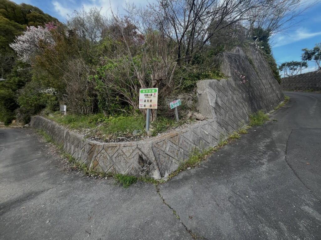
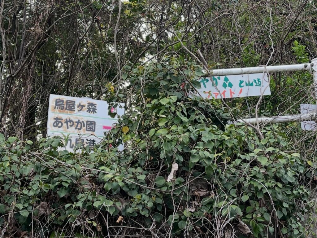
途中で道を間違えて時間をロスしてしまいましたが、基本的には「あやか園」に向かって進んでいけば大丈夫です。
ちなみに「あやか園」は、様々な花が咲く展望公園で、無料で解放されています。
「あやか園」を過ぎ、最後の折り返しの道を進んでいくと、鳥屋が森の登山口に到着です。
YAMAPの登山口表示とは少し場所がずれています。
木々に隠れた小さな案内板を見逃すとわからないかもしれません。
この時点で17時、頑張ろう!
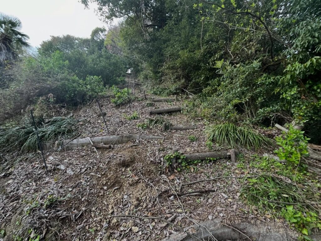
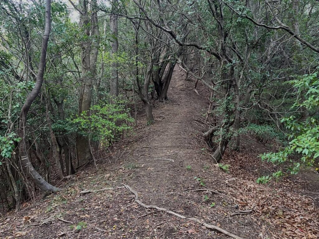
登山道はとても整備されています。
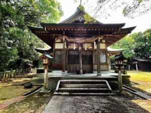
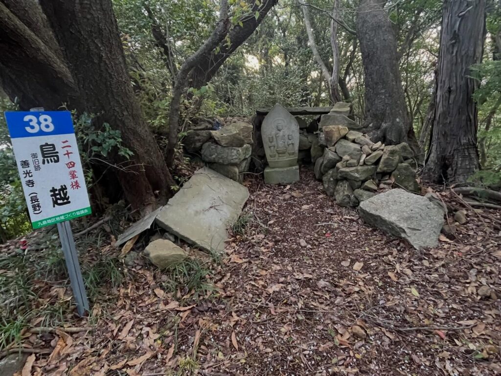
登山道のあちこちに、親鸞の門弟24人を祀った「二十四輩様」の祠と石像が見られます。
登山道では3ヶ所だったと思うのですが、島全体には45ヶ所の祠があるそうです。
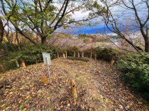
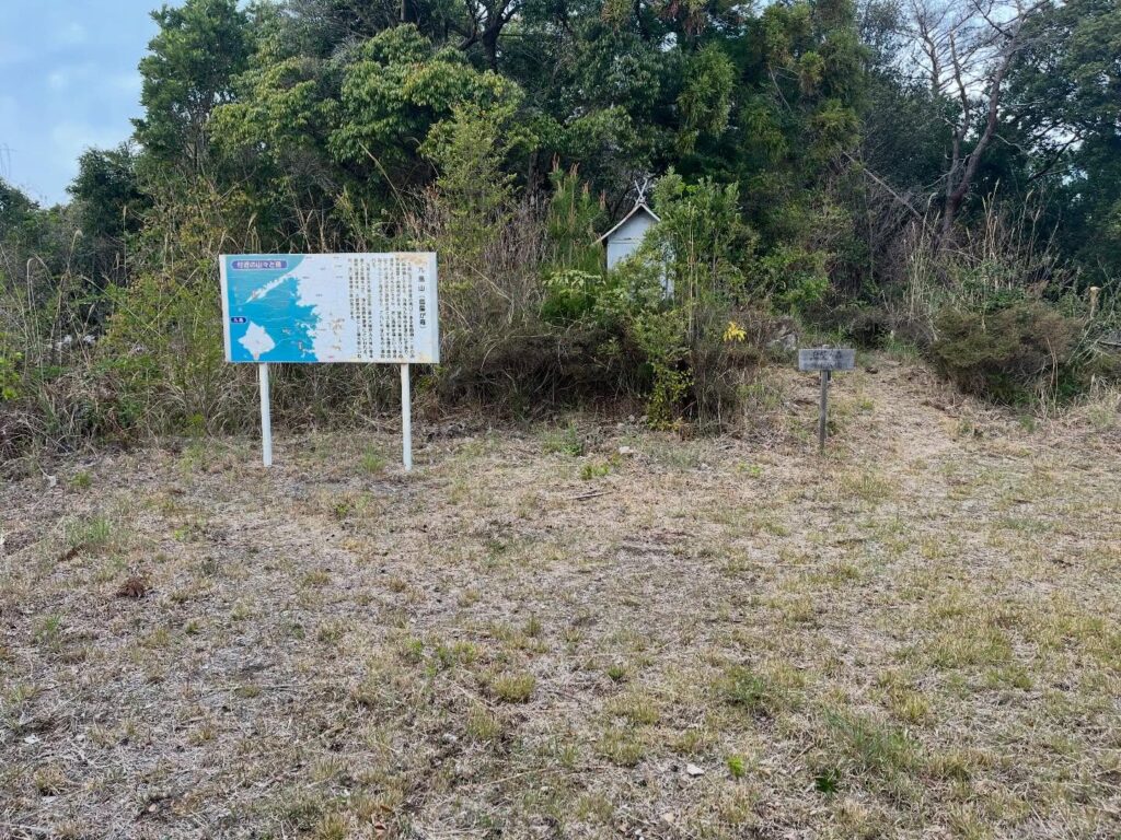
山頂は広場になっていて、案内看板があります。
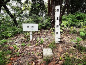
鳥屋が森は正式名称は九島山です。
山頂の森が渡り鳥のねぐらとして有名なので、鳥屋が森の名前がついたのだとか。
ウサギが生息するので兎ヵ森(同じくとやがもり)という宛字もあるとのことです。
三角点はこの広場からもう少し奥に入った所にあります。
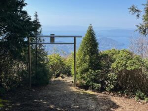
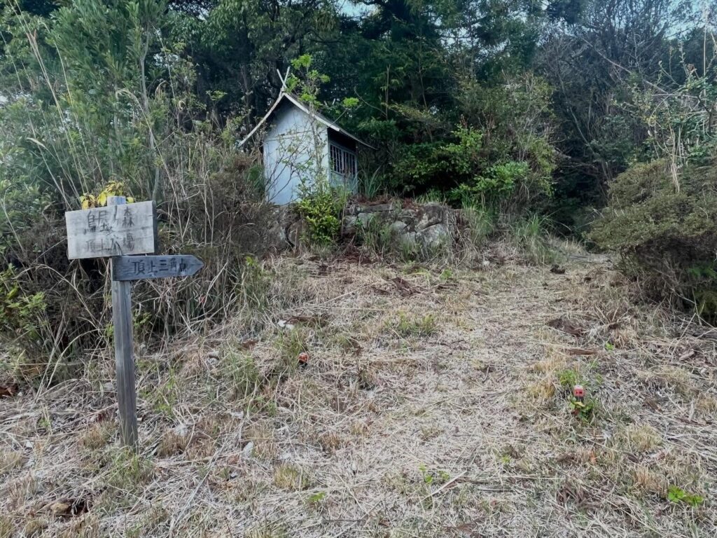
入口の祠にご挨拶して、少し進めば山頂、三角点です。
こちらは森の中で、眺望はありません。
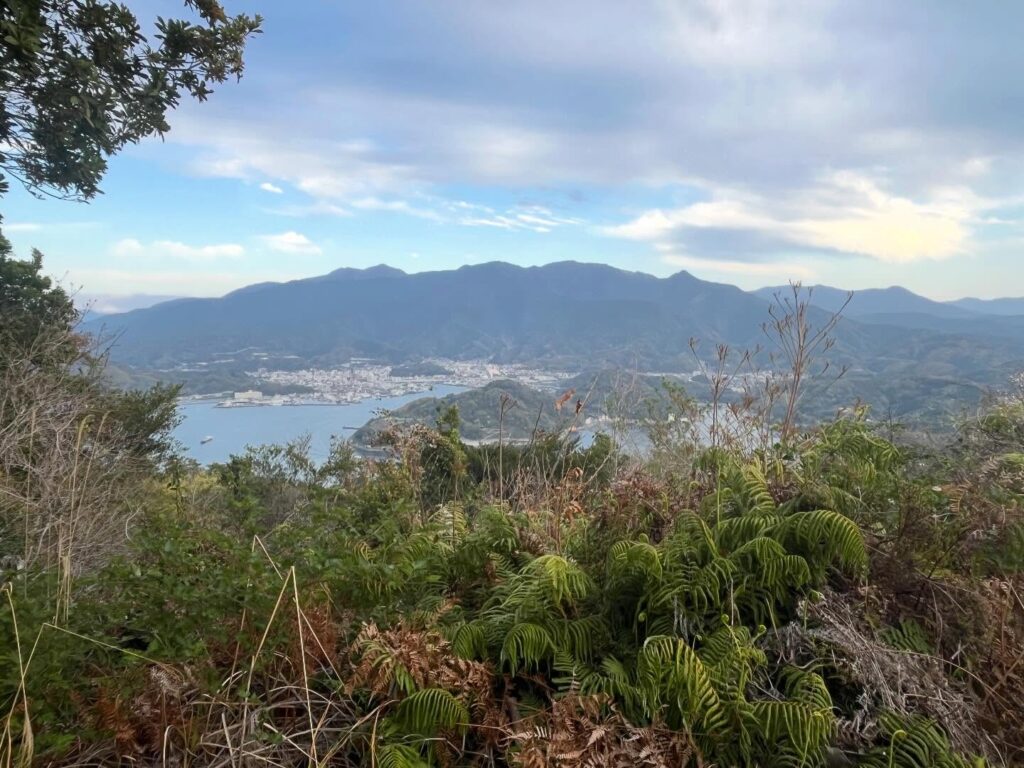
広場に戻って、眺望ポイントから、本日登っていた鬼ヶ城山系の山々を眺めます。
夕日は雲に隠れていましたが、良い夕方でした。
あとは黙々と下りるだけ。
市営九島大橋駐車場に戻ったのは18時30分でした。
大満足の1日でした。

車で上がることは禁止されています
次回はスクーターでじっくり回ってみたいですね
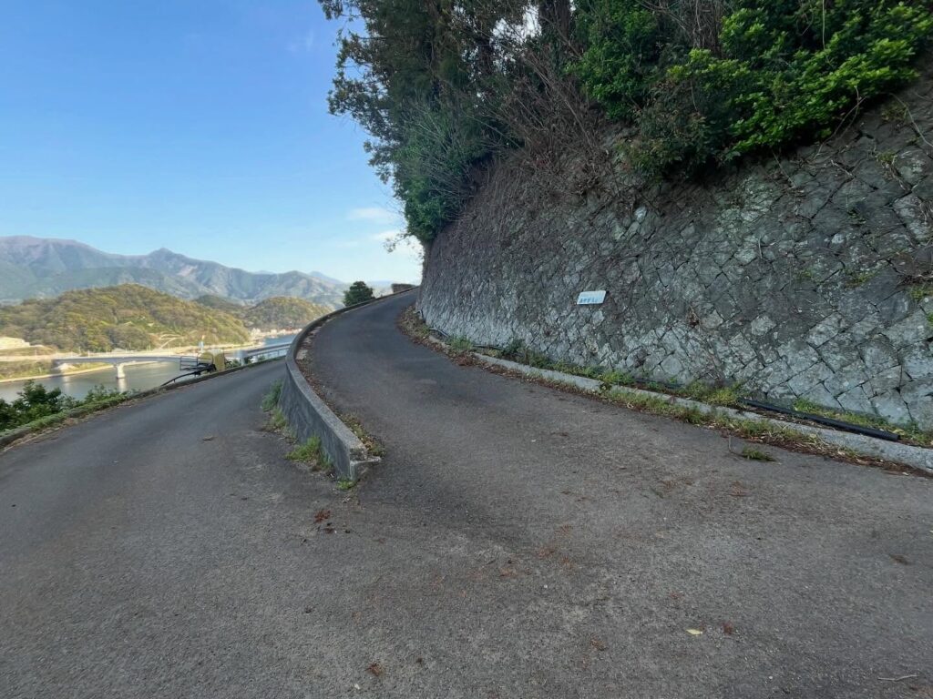
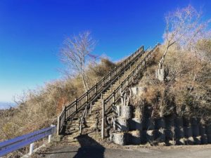
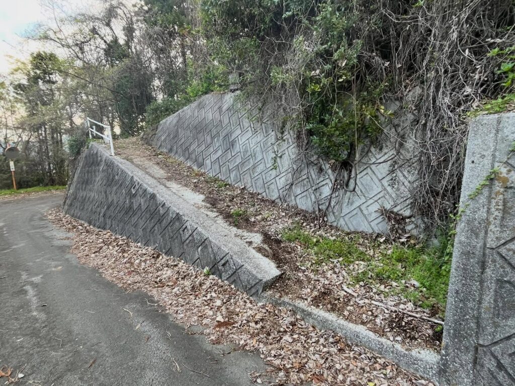
ここで折り返して上っていきます
「あやか園」さんの案内が目印
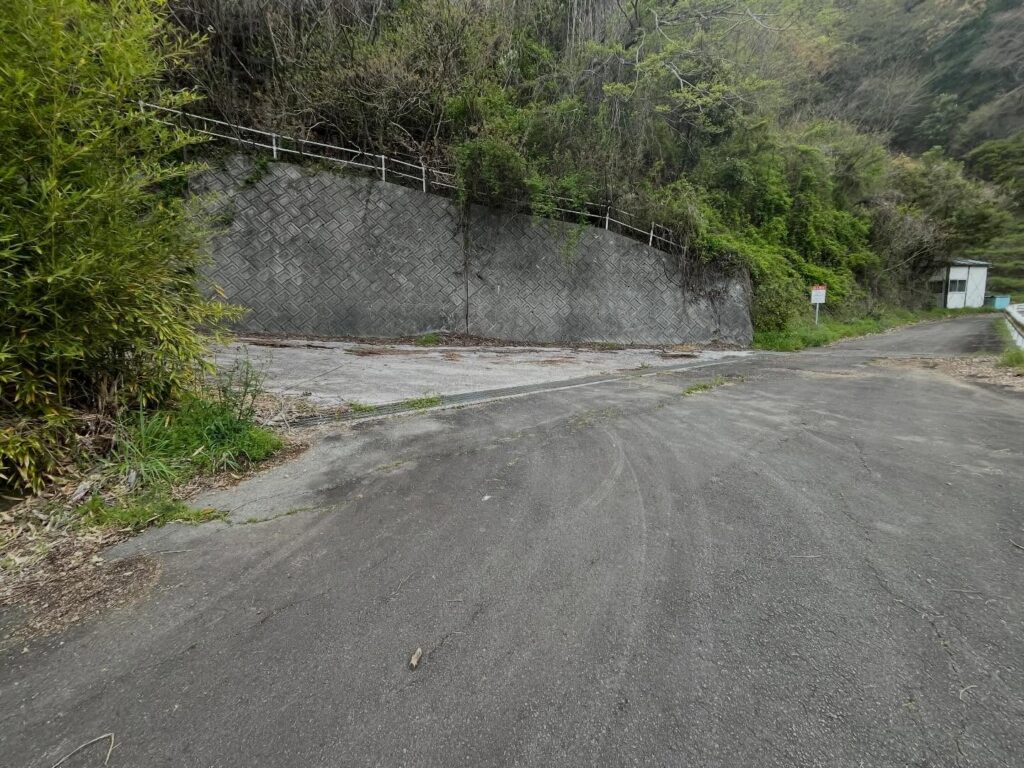
植物に隠れたこの案内板が目印


#鳥屋が森
#鳥屋ヶ森
#とやがもり
#標高322m
#兎ヵ森
#九島山
#くしまやま
#九島大橋
#しま山100選
#市営九島大橋駐車場
#二十四輩様
#にじゅうよはいさま
I completed the full course of the Onigajo Mountain Range, and perhaps because I was hiking alone, I finished more than two hours ahead of schedule.
Since I was already there, I decided to climb Toriya-ga-mori on Kushima, which I had been admiring from Mount Ke.
It felt like a little dessert after the main course.
In April 2016, the 468-meter-long Kushima Bridge was completed, allowing visitors to cross to Kushima by car.
Incidentally, Toriya-ga-Mori has been selected as one of the “100 Best Island Mountains” by the Japan Remote Islands Center.
That said, since I left Shika-no-Koru at 3:00 PM, I arrived at the municipal Kushima Ohashi Bridge parking lot at 4:00 PM.
Looking at YAMAP, I found it strange that so many people were taking over two and a half hours to climb a mountain just over 300 meters in elevation.
The reason is clear: driving up to the trailhead is prohibited.
So, I started the 1-hour hike along the road to the trailhead.
Sunset in Uwajima City that day was at 6:33 PM, so I really wanted to make it back while it was still light out.
As soon as I started hiking up the road, I came to the “Umisuzume Observation Deck.”
It’s not just this spot, but the view of the Kushima Bridge and the Onigajo Mountain Range stretching beyond it is truly magnificent.
I walk along the road in silence, taking in the view.
I took a wrong turn along the way and lost some time, but basically, as long as you head toward “Ayaka-en,” you’ll be fine.
By the way, “Ayaka-en” is a scenic park where various flowers bloom, and it’s open to the public for free.
After passing “Ayaka-en” and proceeding along the final winding road, I arrive at the Toriya-ga-Mori trailhead.
The location is slightly off from what’s marked on YAMAP.
You might miss it if you overlook the small sign hidden among the trees.
It’s 5:00 PM at this point—let’s keep going!
The trail is very well-maintained.
Here and there along the trail, you’ll see shrines and stone statues dedicated to the “Twenty-Four Disciples,” honoring Shinran’s 24 disciples.
I think there were three of these along the trail, but apparently there are 45 shrines across the entire island.
The summit is a clearing with an information sign.
The official name of Toriyagamori is Mt. Kushima.
Apparently, the mountain was named Toriyagamori because the forest at the summit is famous as a roosting ground for migratory birds.
It’s also said that because rabbits inhabit the area, there’s another name for it: Usagakamori (also pronounced “Toriyagamori”).
The triangulation point is located a little further in from this clearing.
After paying my respects at the shrine by the entrance and walking a short distance, I reached the summit and the triangulation point.
This spot is deep within the forest, so there is no view.
I returned to the clearing and looked out from the viewpoint at the mountains of the Onigajo Range that I had climbed today.
The sunset was hidden by clouds, but it was a lovely evening.
All that was left was to silently make my way back down.
I returned to the municipal Kushima Ohashi Bridge parking lot at 6:30 PM.
It was a thoroughly satisfying day.
市営九島大橋駐車場のMAP
九島山(鳥屋が森)登山口
九島山(鳥屋が森)のMAP
活動データ(YAMAP)
活動データはYAMAPからご覧ください↓