鬼ヶ城山 鹿のコル→鬼ヶ城山 鬼ヶ城山系縦走(愛媛県宇和島市)標高1151m
ずっとソロで山登りしていたのですが、ご縁をいただき、松山ハイキングクラブ(MHC)に入会させていただきました。
今後は、ソロと団体の両方で登っていきます。
初めてのMHCは、鬼ヶ城山系!
南予は未踏で、鬼ヶ城山系は今年の目標でしたので嬉しく、ありがたいですね。
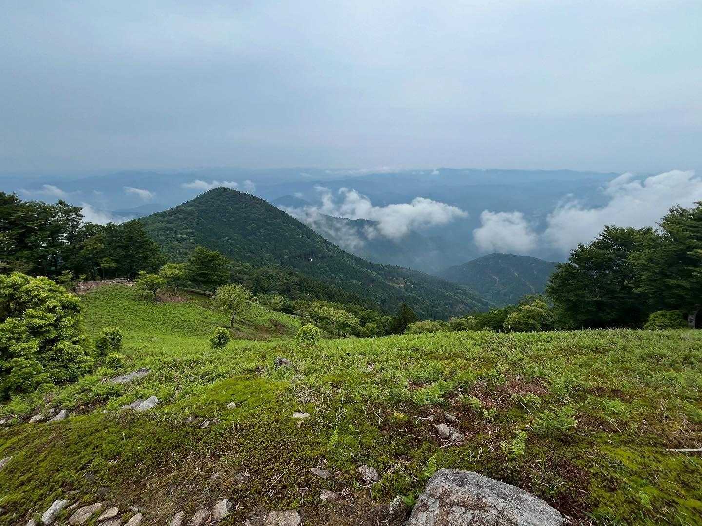
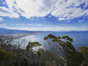
登山口は標高1000m以上の鹿のコル。
6つのピークを縦走します。
まずは鬼ヶ城山へ。
鹿のコルからの標高差は100mちょっと。
最初のピークをトラバースして、尾根道をじわじわと登っていきます。
歩きやすい道ではあるのですが、だいたい30分が目安なのですが20分で到着。
先輩方のペースは速い!
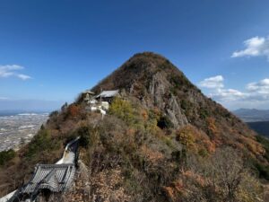
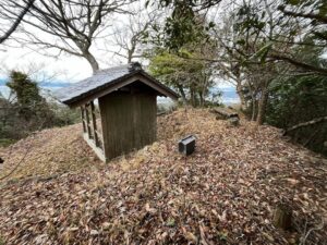
鬼ヶ城山山頂は、標識と小さな石積み。
3年ほど前の記録では、立派なパネルがあったように記憶していたのですが、板となってしまっていました。
自然の力は強いです。
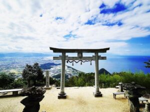
鬼ヶ城山の名前の由来はいろいろあるようですが、鬼ヶ城山系の北に位置する地域だから「鬼北町」とのこと。
なるほど。勉強になりました。
さて、続いて大久保山へ!


作られた方の愛を感じますね!


鬼ヶ城山への標識
ここから登りになります


先輩方のペースが速い!

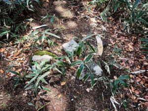
横の石柱は三角点ではないと言われてました

今は板に戻っていました
立派な彫刻文字ですね
#鬼ヶ城山
#おにがじょうやま
#標高1151m
#鬼が城山
#鬼ヶ城連山
#鬼ヶ城山系
#四国百名山
#南予アルプス
#松山ハイキングクラブ
#MHC
#愛媛の小山上り
#小山上り
#愛媛県
#宇和島市
#鹿のコル
#標高1027m
I have been climbing mountains solo for a long time, but I was fortunate enough to join the Matsuyama Hiking Club (MHC).
From now on, I will climb both solo and in groups.
My first MHC was the Onigajo mountain range!
I am happy and thankful that I have never hiked in Nanyo and the Onigajo mountain range was my goal for this year.
The trailhead is at Shika-no Koru, which is over 1000 meters above sea level.
We will traverse six peaks.
First, we went to Mount Onigajo.
The elevation gain from Shika-no Col is a little over 100 meters.
Traversing the first peak, we will slowly climb up the ridge trail.
Although the path is easy to walk on, it takes only 20 minutes to reach the summit, which is usually estimated to take about 30 minutes.
The pace of our seniors was fast!
The summit of Onigajoyama is marked by a sign and a small pile of stones.
I remember that there was a fine panel on the top of the mountain about three years ago, but it had been replaced by a board.
The power of nature is strong.
The origin of the name of Mt. Onigajo seems to be various, but it is “Kihoku-cho” because the area is located in the north of the Onigajo mountain range.
I see. I learned a lot.
Now, let’s move on to Mt.Okubo-yama!
鹿のコル・鬼ヶ城山登山口への登り口
登り口から鹿のコルまで、車で約45分ほどです。
鹿のコル・鬼ヶ城山登山口
鬼ヶ城山のMAP
活動データ(YAMAP)
活動データはYAMAPからご覧ください↓